Black Dome
 Photo: MTBradley, CC BY 3.0 (via Wikimedia Commons)
At a glance
Black Dome is a summit in New York, rising to 3,993 feet. The nearest town is Round Top, about 4.7 miles away. Summer is the most comfortable time to go. Typical averages from a nearby weather station run to highs around 74°F in July with lows near 56°F. That station sits roughly 1,300 feet below the summit, so temperatures up top run cooler. Several trails start close by. Blackhead Trail is about a mile away and Batavia Kill Trail is about 1.3 miles away. Black Dome Range Trail and Colgate Lake Trail are each about 2.2 miles off.
- summit
- 3,993 ft
- way up
- 1
- best months
- Sep
Near: Round Top · 4.7 mi
Best time to visit Black Dome
Best months: September. Best months have typical highs of 55–85 °F, lows of 30 °F or warmer (32 °F where the station doesn't record snow), at most one snowy day and no more than 12 wet days.
Jan
28°
12°
16 wet
Feb
30°
13°
14 wet
Mar
38°
20°
15 wet
Apr
51°
31°
13 wet
May
62°
43°
15 wet
Jun
69°
51°
14 wet
Jul
74°
56°
13 wet
Aug
73°
54°
13 wet
Sep
67°
48°
12 wet
Oct
55°
38°
14 wet
Nov
43°
28°
13 wet
Dec
32°
19°
16 wet
Typical high / low (°F) and days with rain or snow, 1991–2020. Measured at Slide Mtn, NY, 23.1 mi away at 2,650 ft. The station sits about 1,300 ft lower than this place, so expect it a little cooler here. This station doesn't record snowfall. Source: NOAA NCEI U.S. Climate Normals 1991–2020.
Been here? Tell people how it was.
Map © Mapbox © OpenStreetMap contributors  Thomas Cole Mountain3,947 ft · New York1 route0.7 mi awayPhoto: Matthew T. Bradley, CC BY 2.0 (via Wikimedia Commons)
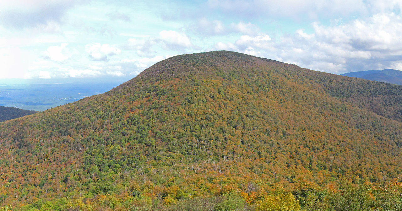 Blackhead3,937 ft · New York1 route0.9 mi awayPhoto: Kevin Kenny from Niskayuna, NY, Schenectady. Cropped and color-corrected prior to upload by Daniel Case, CC BY-SA 2.0 (via Wikimedia Commons)
- Onteora Mountain3,224 ft · New York1 route4.0 mi away
 South Mountain2,483 ft · New York1 route6.7 mi awayPhoto: Mark Fickett, CC BY 3.0 (via Wikimedia Commons)
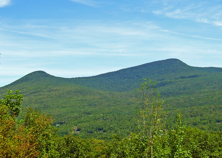 High Peak3,652 ft · New York1 route7.8 mi awayPhoto: Daniel Case, CC BY-SA 3.0 (via Wikimedia Commons)
 Hunter Mountain4,031 ft · New York1 route8.5 mi awayPhoto: The original uploader was Daniel Case at English Wikipedia., CC BY-SA 3.0 (via Wikimedia Commons)
 Blackhead TrailHikingPhoto: Andy Arthur, CC BY 2.0 (via Wikimedia Commons)1 mi
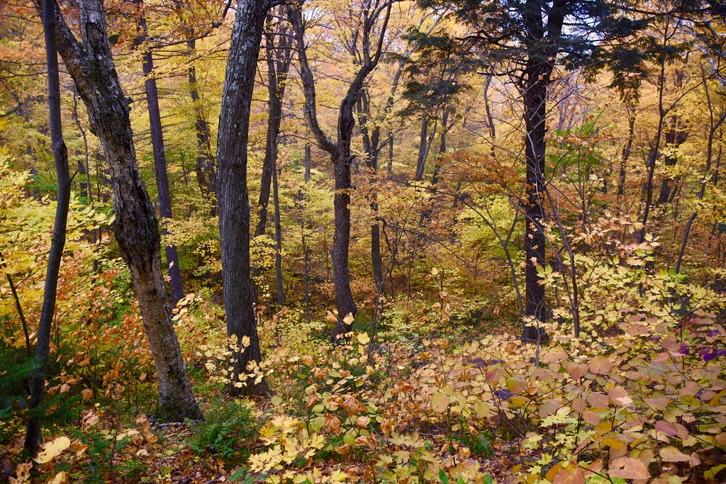 Batavia Kill TrailHikingPhoto: alecperkins, CC BY 2.0 (via Flickr)1.3 mi
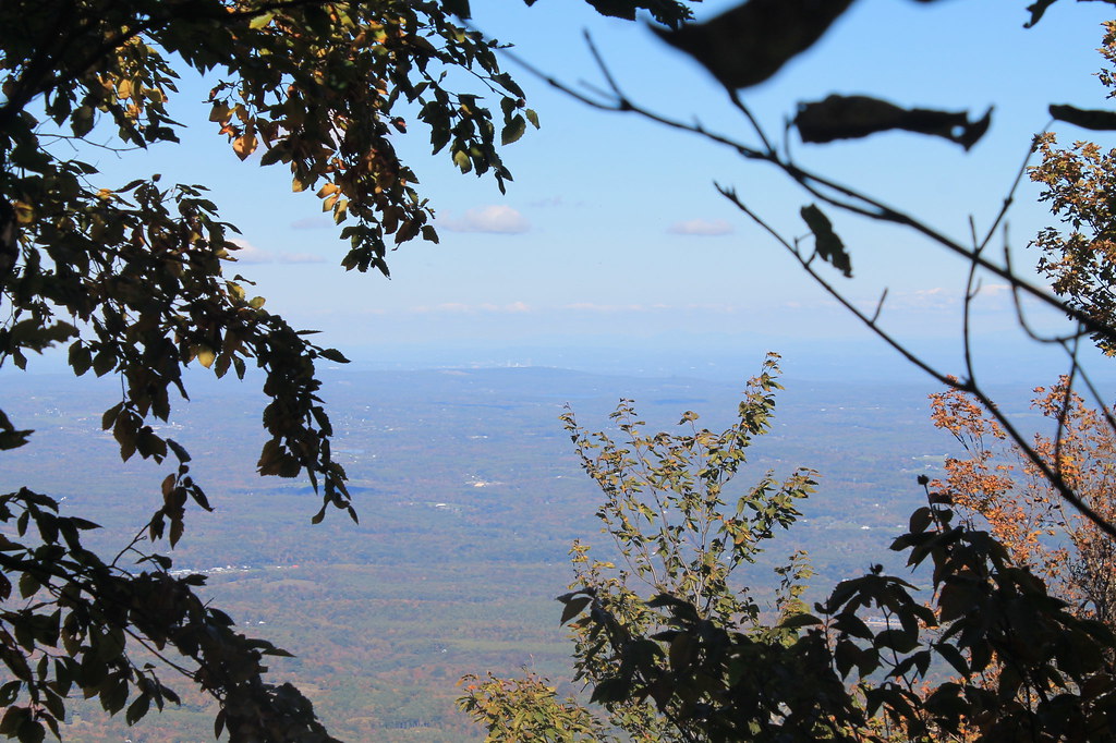 Black Dome Range TrailHikingPhoto: andyarthur, CC BY 2.0 (via Flickr)2.2 mi
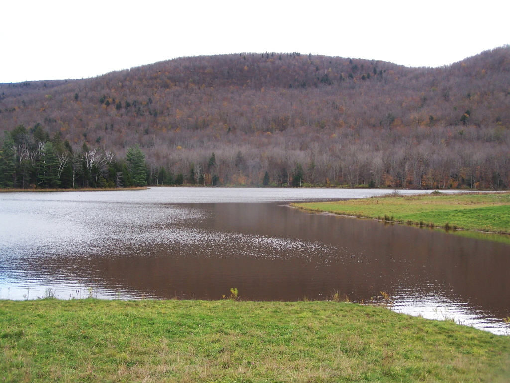 Colgate Lake TrailHikingPhoto: andyarthur, CC BY 2.0 (via Flickr)2.2 mi
- Heiner's trail (Blue)Hiking3.4 mi
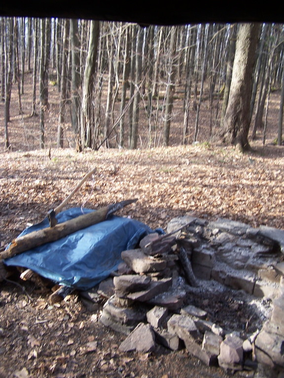 Elm Ridge TrailHikingPhoto: andyarthur, CC BY 2.0 (via Flickr)3.7 mi
- Dutcher Notch TrailHiking3.8 mi
 CatskillsRock climbingPhoto: John B. from Highland Park, NJ, United States, CC BY 2.0 (via Wikimedia Commons)6.1 mi
- Thomas Cole MountainSummitPhoto: Matthew T. Bradley, CC BY 2.0 (via Wikimedia Commons)~1 min drive
- BlackheadSummitPhoto: Kevin Kenny from Niskayuna, NY, Schenectady. Cropped and color-corrected prior to upload by Daniel Case, CC BY-SA 2.0 (via Wikimedia Commons)~2 min drive
 North MountainSummitPhoto: Daniel Case, CC BY-SA 3.0 (via Wikimedia Commons)~9 min drive
- South MountainSummitPhoto: Mark Fickett, CC BY 3.0 (via Wikimedia Commons)~12 min drive
- High PeakSummitPhoto: Daniel Case, CC BY-SA 3.0 (via Wikimedia Commons)~13 min drive
- Hunter MountainSummitPhoto: The original uploader was Daniel Case at English Wikipedia., CC BY-SA 3.0 (via Wikimedia Commons)~14 min drive
 Rusk MountainSummitPhoto: Onteora12, CC BY-SA 3.0 (via Wikimedia Commons)~16 min drive
 Plateau MountainSummitPhoto: Daniel Case, CC BY-SA 3.0 (via Wikimedia Commons)~16 min drive
 Sugarloaf MountainSummitPhoto: Kevin Kenny from Niskayuna, NY, Schenectady. Cropped and color-corrected by Daniel Case prior to upload, CC BY-SA 2.0 (via Wikimedia Commons)~17 min drive
 Twin MountainSummitPhoto: Sixlocal, CC BY-SA 3.0 (via Wikimedia Commons)~17 min drive
Also worth it near here
- Blackhead TrailHikingPhoto: Andy Arthur, CC BY 2.0 (via Wikimedia Commons)~2 min drive
- Camp Tri-MountCamping~3 min drive
- CatskillsRock climbingPhoto: John B. from Highland Park, NJ, United States, CC BY 2.0 (via Wikimedia Commons)~10 min drive
 Kaaterskill FallsWaterfallPhoto: Mwanner, CC BY-SA 3.0 (via Wikimedia Commons)~10 min drive
Conditions and forecast
Daily highs and lows, wind and the chance of precipitation at the summit and route start for the next 7 days, from the Open-Meteo model.
Questions about Black Dome
How tall is Black Dome?
3,993 ft (1,217 m).
How many routes go to the summit of Black Dome?
One: Black Dome Range Trail.
Ask about this place
Questions about Black Dome: conditions, access, timing. Answers say when something isn't known.
