Rock Run Area Campground
Campground
7.8 mi from the trail
 Photo: Ron Cogswell, CC BY 2.0 (via Flickr)
Best Farm Trail is a 2.94-mile out-and-back hike in Maryland managed by the National Park Service. The trail gains 23 feet of elevation over its round-trip distance.
Near: Frederick
Best months: March–June and September–November. Best months have typical highs of 55–85 °F, lows of 30 °F or warmer (32 °F where the station doesn't record snow), at most one snowy day and no more than 12 wet days.
Jan
43°
27°
8 wet
Feb
48°
29°
7 wet
Mar
55°
36°
10 wet
Apr
69°
45°
10 wet
May
77°
55°
10 wet
Jun
85°
63°
10 wet
Jul
89°
68°
9 wet
Aug
87°
66°
9 wet
Sep
80°
59°
9 wet
Oct
69°
47°
7 wet
Nov
56°
38°
8 wet
Dec
47°
31°
9 wet
Typical high / low (°F) and days with rain or snow, 1991–2020. Measured at Frederick Police Brks, MD, 3.7 mi away at 380 ft. We don't have this place's elevation, so higher spots nearby can run cooler. This station doesn't record snowfall. Source: NOAA NCEI U.S. Climate Normals 1991–2020.
Been here? Tell people how it was.
 Junction TrailHikingPhoto: Ken Lund from Las Vegas, Nevada, USA, CC BY-SA 2.0 (via Wikimedia Commons)Next door
 Green Ash TrailHikingPhoto: SridharSaraf, CC BY-SA 2.0 (via Flickr)~14 min drive
 Middle Ford Ferry Loop TrailHikingPhoto: Pete Giove-Fourwinds, CC BY-SA 3.0 (via Wikimedia Commons)Next door
 0.2 MilesHikingPhoto: Ron Cogswell, CC BY 2.0 (via Flickr)~1 min driveGambrill Mill TrailHikingPhoto: Ron Cogswell, CC BY 2.0 (via Flickr)~1 min drive
 Thomas Farm Loop TrailHikingPhoto: Ken Lund from Las Vegas, Nevada, USA, CC BY-SA 2.0 (via Wikimedia Commons)~1 min drive
Also worth it near here
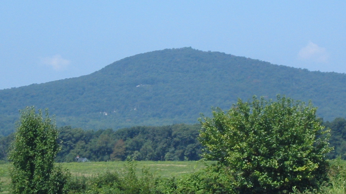 Sugar Loaf MountainSummitPhoto: Lowell Silverman at English Wikipedia, Public domain (via Wikimedia Commons)~13 min drive
 Sugarloaf MountainRock climbingPhoto: Idawriter, CC BY-SA 3.0 (via Wikimedia Commons)~13 min drive
Daily highs and lows, wind and the chance of precipitation at Start for the next 7 days, from the Open-Meteo model.
Questions about Best Farm Trail: conditions, access, timing. Answers say when something isn't known.
Rock Run Area Campground
Campground
 If it rainsAcroterion, CC BY-SA 4.0 · Wikimedia Commons
Gambrill House
Attraction
Historic mansion at Monocacy National Battlefield, Maryland, United States
Places © OpenStreetMap contributors · Photos: Acroterion, CC BY-SA 4.0 (commons)
More in Ballenger CreekNot on Roamze yet. Their page has how to reach them.
