Pilot Rock Trail
At a glance
Pilot Rock Trail is a short mountain biking route in Arizona, about 2 miles from Havasu Palms, California. It is managed by the Bureau of Reclamation and sits at an elevation of about 740 feet, with the climb peaking at 744 feet and the route as a whole totaling a gain of 296 feet. The climb is less than 2 miles long and reaches a high point of about 740 feet. The steepest stretch comes at about 1.6 miles in, with a grade of about 12 percent. The route also drops about 372 feet in total, so it works as a short loop or a ride with a slight descent. Winter and early spring are the most comfortable times to ride. Typical averages from a nearby weather station in Lake Havasu City show January highs around 65°F and April highs around 86°F, while summer highs there climb past 100°F from June through September. That station sits about 300 feet lower than the trail, so temperatures on the route run a little cooler. Sonny's Trail and the Watershed Loop - Crack Trail (Yellow) both lie about half a mile away, and Beer Bottle and Naked Man Trail are each about 0.7 miles off. For a hike, Friendly Fair Trail is about 1.5 miles away.
- distance
- 1.8 mi
- climb
- 296 ft
- difficulty
- Intermediate
- surface
- Dirt
- time
- About 30 minutes
- best months
- Nov–Mar
Near: Lake Havasu City
Best time to visit Pilot Rock Trail
Best months: November–March. Best months have typical highs of 55–85 °F, lows of 30 °F or warmer (32 °F where the station doesn't record snow), at most one snowy day and no more than 12 wet days.
Jan
65°
43°
3 wet
Feb
70°
46°
2 wet
Mar
78°
51°
2 wet
Apr
86°
58°
1 wet
May
95°
67°
0 wet
Jun
105°
76°
0 wet
Jul
109°
83°
1 wet
Aug
108°
82°
2 wet
Sep
102°
75°
2 wet
Oct
89°
62°
1 wet
Nov
75°
50°
1 wet
Dec
64°
42°
2 wet
Typical high / low (°F) and days with rain or snow, 1991–2020. Measured at Lake Havasu City, AZ, 7.5 mi away at 449 ft. Source: NOAA NCEI U.S. Climate Normals 1991–2020.
Been here? Tell people how it was.
- Watershed Loop - Crack Trail (Yellow)Mountain biking0.6 mi
- Sonny's TrailMountain biking0.6 mi
- Beer BottleMountain biking0.7 mi
 Naked Man TrailMountain bikingPhoto: mypubliclands, Public domain (via Wikimedia Commons)0.7 mi
- SpokeMountain biking0.8 mi
 Multiple Offers WREMountain bikingPhoto: Patriot1423, CC BY-SA 4.0 (via Wikimedia Commons)0.9 mi
- Friendly Fair TrailHiking1.5 mi
 4455AaHikingPhoto: Patriot1423, CC BY-SA 4.0 (via Wikimedia Commons)2.1 mi
- Naked Man TrailMountain bikingPhoto: mypubliclands, Public domain (via Wikimedia Commons)~3 min drive
- Watershed Loop - Crack Trail (Yellow)Mountain biking~2 min drive
- Multiple Offers WREMountain bikingPhoto: Patriot1423, CC BY-SA 4.0 (via Wikimedia Commons)~3 min drive
- Friendly Fair TrailMountain biking~3 min drive
- RecycleMountain biking~2 min drive
- Watershed LoopMountain bikingPhoto: Patriot1423, CC BY-SA 4.0 (via Wikimedia Commons)~3 min drive
- Friendly Fair TrailMountain biking~4 min drive
- SpokeMountain biking~3 min drive
- Friendly Fair TrailMountain bikingPhoto: Patriot1423, CC BY-SA 4.0 (via Wikimedia Commons)~4 min drive
Also worth it near here
 Lake HavasuRock climbingPhoto: wshilling101, CC BY-SA 3.0 (via Wikimedia Commons)~3 min drive
- 4455AaHikingPhoto: Patriot1423, CC BY-SA 4.0 (via Wikimedia Commons)~4 min drive
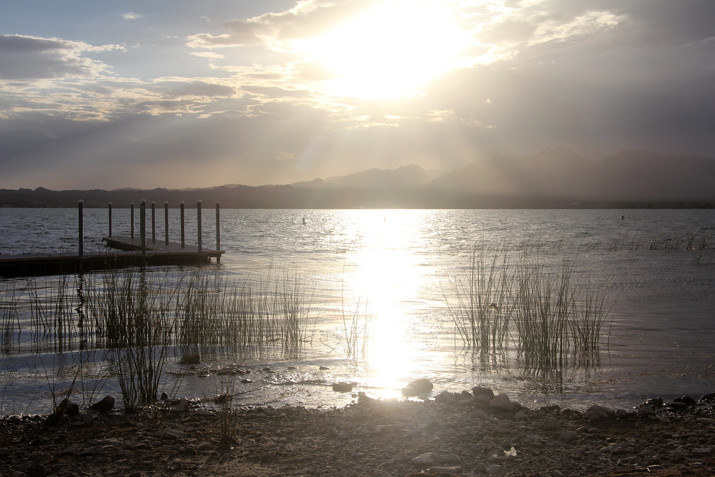 Lake Havasu State ParkCampingPhoto: EduardMarmet — CC BY-SA 2.0 (via Flickr)~12 min drive
- Copper Basin ReservoirLake fishing~16 min drive
Conditions and forecast
Daily highs and lows, wind and the chance of precipitation at Start for the next 7 days, from the Open-Meteo model.
Ask about this place
Questions about Pilot Rock Trail: conditions, access, timing. Answers say when something isn't known.
Local outfitters
- Arizona State Parks & Trails7 mi away
Not on Roamze yet. Their page has how to reach them.
Map and trail data © OpenStreetMap contributors
