
Yellowstone Safari Company
Hiking business nearby (~45 mi away) — hasn't claimed their Roamze page yet
Montana
Free — you'll pick up right here.
7.4 mi
Distance
4,536 ft
Gain
3h 52m
Time
An agency closure order is in effect for this area; weather is good
2 factors · 2 sources
Newest 13 h ago · oldest 13 h
problem: Agency alerts
9 active alerts in Beaverhead-Deerlodge National Forest; most severe: Pallet Prohibition Order Butte Ranger District
USFSPosted Jan 31, 2025 · checked 13 h ago
clear: Weather
Clouds, high 75°F / low 39°F, 0% precip — 97/100 for hike
OpenWeather13 h ago
Been out here in the last few days? One report keeps this current for everyone.
Why you'll love it
Bear Creek Trail
Suggested plan · check conditions before you go
Bear Creek Trail is a 14.72-mile out-and-back hike in Montana with 4,536 feet of elevation gain and loss. The trail reaches a maximum elevation of 8,393 feet.
Most of the climbing comes early, so the second half is easier.
Source: Roamze elevation profile and trail geometry (DEM samples along the mapped route)
 Photo: Forest Service - Northern Region, Public Domain Mark (via Flickr)
Tumble Basin
~16 min drive
1.16-mile out-and-back trail in Montana with 157 ft elevation gain.
Photo: Forest Service - Northern Region, Public Domain Mark (via Flickr)Tumbledown
~17 min drive
6.09-mile out-and-back trail in Montana with 1,651 ft elevation gain.
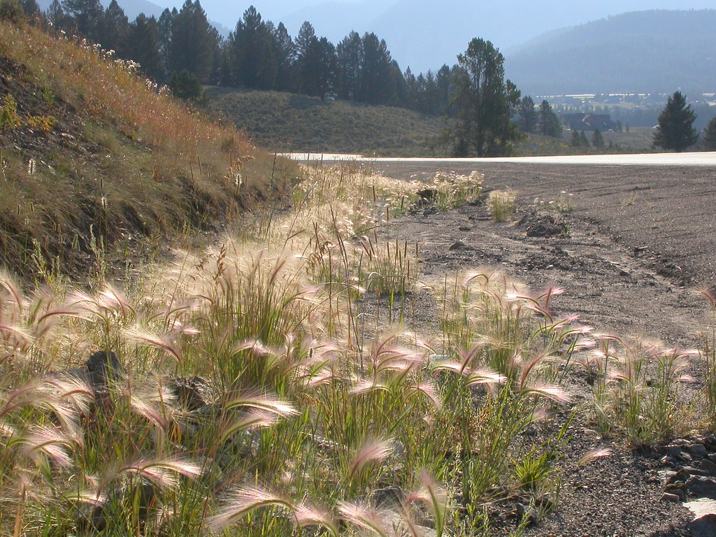 Photo: Matt Lavin, CC BY-SA 2.0 (via Flickr)
Powder Crest Trail
~20 min drive
4.16-mile out-and-back trail in Montana with 1,940 ft gain/loss.
MIDDLE FORK BEAR CREEK
~0 min drive
17.5-mile out-and-back trail in Montana with 4,522 ft gain and 9,041 ft max elevation.
 Photo: schvin, CC BY 2.0 (via Flickr)
Elkhorn Loop
~20 min drive
1.96-mile out-and-back trail in Montana with 987 ft elevation gain
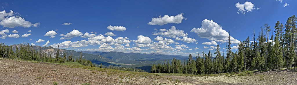 Photo: Monica's Dad, CC BY 2.0 (via Flickr)
Mountain to Meadow
~20 min drive
9.08-mile out-and-back in Montana with 3,270 ft gain/loss
ROAMER CUTOFF
~4 min drive
3.7-mile out-and-back trail in Montana with 1,593 ft gain and 7,892 ft max elevation.
INDIAN CREEK
~7 min drive
24.92-mile out-and-back trail in Montana with 4,228 ft elevation gain/loss.
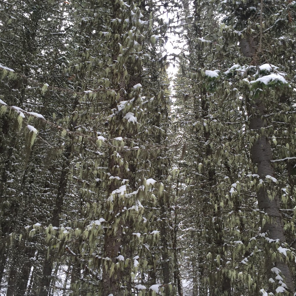 Photo: schvin, CC BY 2.0 (via Flickr)
Lodge Loop
~20 min drive
3.94-mile out-and-back trail in Montana with 893 ft elevation gain and loss.
Photo: Monica's Dad, CC BY 2.0 (via Flickr)Coolridge
~20 min drive
6.16-mile out-and-back trail in Montana with 3,043 ft elevation gain
Map and trail data © OpenStreetMap contributors
Local operatorsoffering guided trips. You book directly with them — Roamze doesn’t take a cut.
Yellowstone Safari Company
Hiking business nearby (~45 mi away) — hasn't claimed their Roamze page yet
