
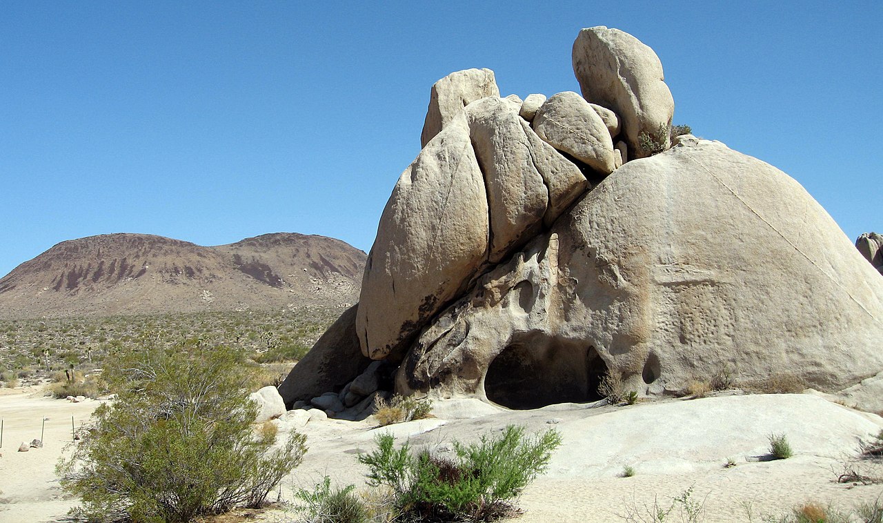
White Tank Campground
Campground
0.3 mi from the trail
 Photo: ogwen, CC BY-SA 3.0 (via Wikimedia Commons)
The Back Rocks is a climbing area in Joshua Tree National Park in California, managed by the National Park Service. It sits among a cluster of other climbing spots, with Torre Del Sol and White Tank Campground each about 0.1 mile away and Bovine Dome about 0.4 mile off. The area is a compact hub of sport and trad routes, with grades ranging from 5.6 to 5.10c. Spring and fall are the most comfortable times to visit. Typical averages from a nearby weather station in Yucca Valley show April highs around 73°F and October highs around 80°F, while July and August average about 96°F. The Back Rocks has nine routes, eight of which are sport and one is trad. The hardest is Uncle Anesthesia, a 5.10c trad route first climbed by Chris Miller, George Armstrong and Gary Burgess in January 1993. Sport climbers can try BDE (aka don't fuck this up) at 5.6 or Rachel at 5.10a. For a change from the rock, Skull Rock Nature Trail and Split Rock Trail are both about 3 miles away. Sheep Pass Group campground is about 6 miles off.
9 routes · 5.6 – 5.10c · Sport · Trad
Where it is: Joshua Tree National Park
Near: Twentynine Palms
Best months: October–May. Best months have typical highs of 55–85 °F, lows of 30 °F or warmer (32 °F where the station doesn't record snow), at most one snowy day and no more than 12 wet days.
Jan
58°
38°
4 wet
Feb
61°
39°
3 wet
Mar
67°
40°
3 wet
Apr
73°
46°
2 wet
May
82°
52°
1 wet
Jun
91°
59°
0 wet
Jul
96°
66°
2 wet
Aug
96°
68°
2 wet
Sep
89°
60°
2 wet
Oct
80°
50°
1 wet
Nov
66°
41°
2 wet
Dec
58°
34°
4 wet
Typical high / low (°F) and days with rain or snow, 1991–2020. Measured at Yucca Valley, CA, 23.7 mi away at 3,249 ft. The station sits about 600 ft lower than this place, so expect it a little cooler here. This station doesn't record snowfall. Source: NOAA NCEI U.S. Climate Normals 1991–2020.
Been here? Tell people how it was.
Torre Del SolRock climbingPhoto: ogwen, CC BY-SA 3.0 (via Wikimedia Commons)0.1 mi White Tank CampgroundRock climbingPhoto: stevehfung, CC BY-SA 2.0 (via Flickr)0.1 mi
 Bovine DomeRock climbingPhoto: ogwen, CC BY-SA 3.0 (via Wikimedia Commons)0.4 mi
 Skull Rock Nature TrailHikingPhoto: Klaus Eltrop, CC BY-SA 3.0 (via Wikimedia Commons)2.9 mi
 Split Rock TrailHikingPhoto: cappellacci, CC BY 2.0 (via Flickr)3 mi
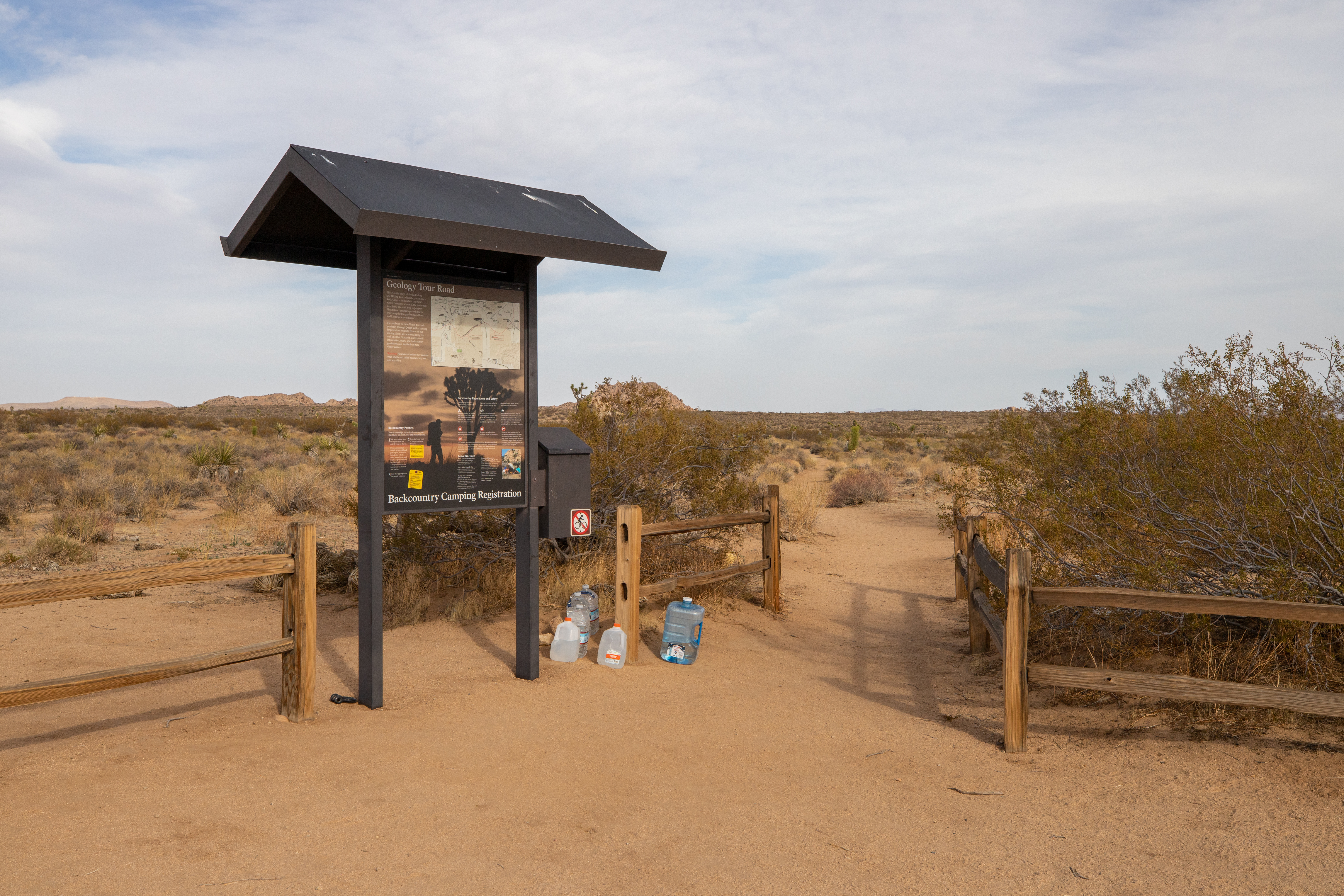 California Riding and Hiking Trail at Geology Tour RoadHikingPhoto: NPS / Hannah Schwalbe4.1 mi
 Sheep Pass GroupCampingPhoto: Recreation.gov (RIDB) / public domain6.2 miTorre Del SolRock climbingPhoto: ogwen, CC BY-SA 3.0 (via Wikimedia Commons)Next doorWhite Tank CampgroundRock climbingPhoto: stevehfung, CC BY-SA 2.0 (via Flickr)Next doorBovine DomeRock climbingPhoto: ogwen, CC BY-SA 3.0 (via Wikimedia Commons)Next door
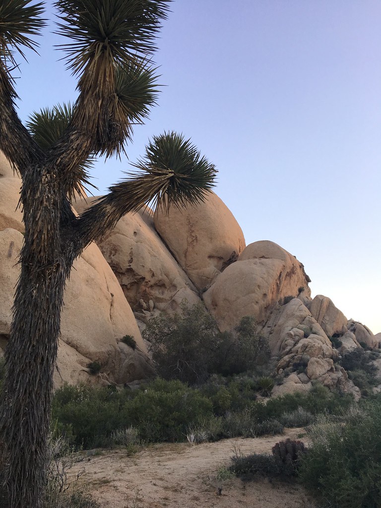 Dr. Haney's Tool Shed AreaRock climbingPhoto: jmacthewanderer, CC BY 2.0 (via Flickr)~3 min drive
 Routes East of Hershey KissRock climbingPhoto: bobistraveling, CC BY 2.0 (via Wikimedia Commons)~3 min drive
 Stirrup TankRock climbingPhoto: bobistraveling, CC BY 2.0 (via Wikimedia Commons)~3 min drive
 Bronto RockRock climbingPhoto: bobistraveling, CC BY 2.0 (via Wikimedia Commons)~3 min driveHand Grenade CorridorRock climbingPhoto: bobistraveling, CC BY 2.0 (via Wikimedia Commons)~3 min driveZippy RockRock climbingPhoto: bobistraveling, CC BY 2.0 (via Wikimedia Commons)~3 min drive
 The Hen HouseRock climbingPhoto: jmacthewanderer, CC BY 2.0 (via Flickr)~3 min drive
Daily highs and lows, wind and the chance of precipitation at The Back Rocks for the next 7 days, from the Open-Meteo model.
Questions about The Back Rocks: conditions, access, timing. Answers say when something isn't known.
White Tank Campground
Campground
 If it rainsJarek Tuszyński, CC BY 3.0 · Wikimedia Commons
Places © OpenStreetMap contributors, Places © Overture Maps Foundation · Photos: Jarek Tuszyński, CC BY 3.0 (commons)
More in Coachella