6n75y Snow Trail
California
Free — you'll pick up right here.
1.5 mi
Distance
847 ft
Gain
38 min
Time
No verdict for this trail
We won't guess. Here is exactly what we do and don't know.
What we do know
Inside Stanislaus National Forest
2 managing-area boundaries mapped — agency alerts for them feed this page automatically.
Boundary data
What's missing
No access route mapped
We don't yet know which road reaches this trailhead, so we can't tell you if it's gated.
Nobody's filed a report here yet — be the first.
Why you'll love it
Here's your day, mapped
6n75y Snow Trail
Suggested plan · check conditions before you go
Meals
Gear for the day
Elevation & route
- Distance
- 1.5 mi
- Elevation gain
- 847 ft
- Elevation loss
- 847 ft
- Highest point
- 6,035 ft
- Lowest point
- 5,726 ft
Photos
Directions & GPX
Permits & access
- Managing agency
- Forest Service
About this trail
6N75Y Snow Trail is a 2.94-mile out-and-back route in California with 847 feet of elevation gain and loss. The trail reaches a maximum elevation of 6,035 feet.
Facts about this trail
The climb
- Starts at
- 5,995 ft
- High point
- 6,035 ft
- Total climbing
- 847 ft
- Total descent
- 847 ft
- Steepest stretch
- 12% grade around mile 1 on the way out
- Length (round trip)
- 2.9 mi
- Shape
- Out and back
Source: Roamze elevation profile and trail geometry (DEM samples along the mapped route)
Where it is
- Summit Ranger District · Ranger district
- Stanislaus National Forest · National forest
- Managed by
- Forest Service
Conditions
Active alerts for Stanislaus National Forest as of Oct 9, 2026:
Stanislaus National Forest issues temporary road closure order for Forest Order 4N90
information · posted Sep 11, 2026
information · posted Sep 10, 2026
Cherry Lake Camping Restrictions
information · posted Aug 24, 2026
Rainbow Pool Area Alcohol Prohibition
information · posted Aug 24, 2026
information · posted Aug 24, 2026
Extension of Seasonal Road Closures
critical · posted Aug 24, 2026
Mtn. Tunnel Project Temporary Road Closure of Forest Road No. 1S28B
information · posted Aug 24, 2026
Stanislaus National Forest extends seasonal MVUM closure for two high elevation roads
critical · posted Aug 24, 2026
Road closure for Forest Road 1N98 due to repairs for the Cherry Valley Dam Spillway Project
information · posted Aug 24, 2026
Renewal of the Emigrant Wilderness use rules
information · posted Aug 24, 2026
Source: USFS forest alerts
Nearby
- Clark Fork CampgroundCamping1.6 mi
- Arnot CreekHiking1.9 mi
- Woods Gulch/jenkins CanyonHiking2.4 mi
- Sand FlatCamping2.4 mi
- Columns of the GiantsRock climbing3.4 mi
- Cave, TheRock climbing3.5 mi
- Clark ForkCanoeing3.6 mi
- Middle Fork Stanislaus RiverCanoeing6.6 mi
Source: Roamze catalog (indexable pages within 10 miles, PostGIS distance)
Add to a trip & share
Keep exploring — more trails worth the drive
 Photo: sdold, CC BY-SA 3.0 (via Wikimedia Commons)
6N06 SNOW TRAIL
~5 min drive
12.24-mile out-and-back trail in California with 2,684 ft elevation gain and loss.
 Photo: GSEC, CC BY 2.0 (via Flickr)
Columns of the Giants Trail
~6 min drive
0.62-mile out-and-back trail in California with 106 ft of elevation gain.
 Photo: GSEC, CC BY 2.0 (via Flickr)
Mccormick Creek
~9 min drive
5.39-mile out-and-back trail in California with 747 ft gain.
 Photo: GSEC, CC BY 2.0 (via Flickr)
Wheats Meadow Trail
~11 min drive
16.26-mile out-and-back trail in California with 3,356 ft elevation gain and loss.
 Photo: Seth Tisue, CC BY-SA 2.0 (via Flickr)
Ancient Dwarves I.T.
~11 min drive
0.88-mile out-and-back trail in California with 111 ft of elevation gain.
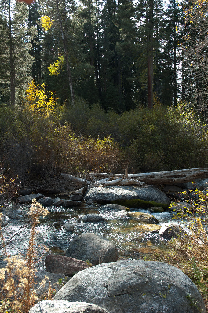 Photo: Chris Mayer, CC BY 2.0 (via Flickr)
Disaster Creek
~8 min drive
14-mile out-and-back trail in California with 2,461 ft elevation gain.
Photo: GSEC, CC BY 2.0 (via Flickr)SWORD LAKE
~10 min drive
1.36-mile out-and-back trail to Sword Lake in California
Photo: GSEC, CC BY 2.0 (via Flickr)County Line Trail
~9 min drive
4.58-mile out-and-back hike in California with 1,366 ft elevation gain
Woods Gulch/jenkins Canyon
~4 min drive
4.9-mile out-and-back trail in California with 1,318 ft elevation gain.
 Photo: GSEC, CC BY 2.0 (via Flickr)
Clark Fork
~8 min drive
14.11-mile out-and-back trail in California with 3,089 ft elevation gain.

