Cerro Arewibá
- 4,331 ft
- summit
- Instituto Nacional de Parques
- managed by
Cerro Arewibá is a mountain in Bolívar State, Venezuela, with its summit at about 4,330 ft (1,320 m) above sea level. It stands inside Parque Nacional Canaima. No mapped trail reaches the top in OpenStreetMap, so plan the approach with local maps or a guide. The nearest town is Kamarata, about 7.2 miles southwest of the summit. The location and elevation come from OpenStreetMap and the Copernicus 90 m elevation model. Check local access rules and conditions before you go.
Conditions and forecast
Daily highs and lows, wind and the chance of precipitation at the summit for the next 7 days, from the Open-Meteo model.
- Summit elevation
- 4,331 ft
- Land manager
- Instituto Nacional de Parques
We don't know of a mapped trail or route to the summit of Cerro Arewibá. Plan the approach with local maps, a guidebook or a local guide, and check conditions before you go.
Questions about Cerro Arewibá
How tall is Cerro Arewibá?
4,331 ft (1,320 m).
Is there a trail to the top of Cerro Arewibá?
We don't know of a mapped trail or route to the summit. Plan the approach with local maps, a guidebook or a local guide.
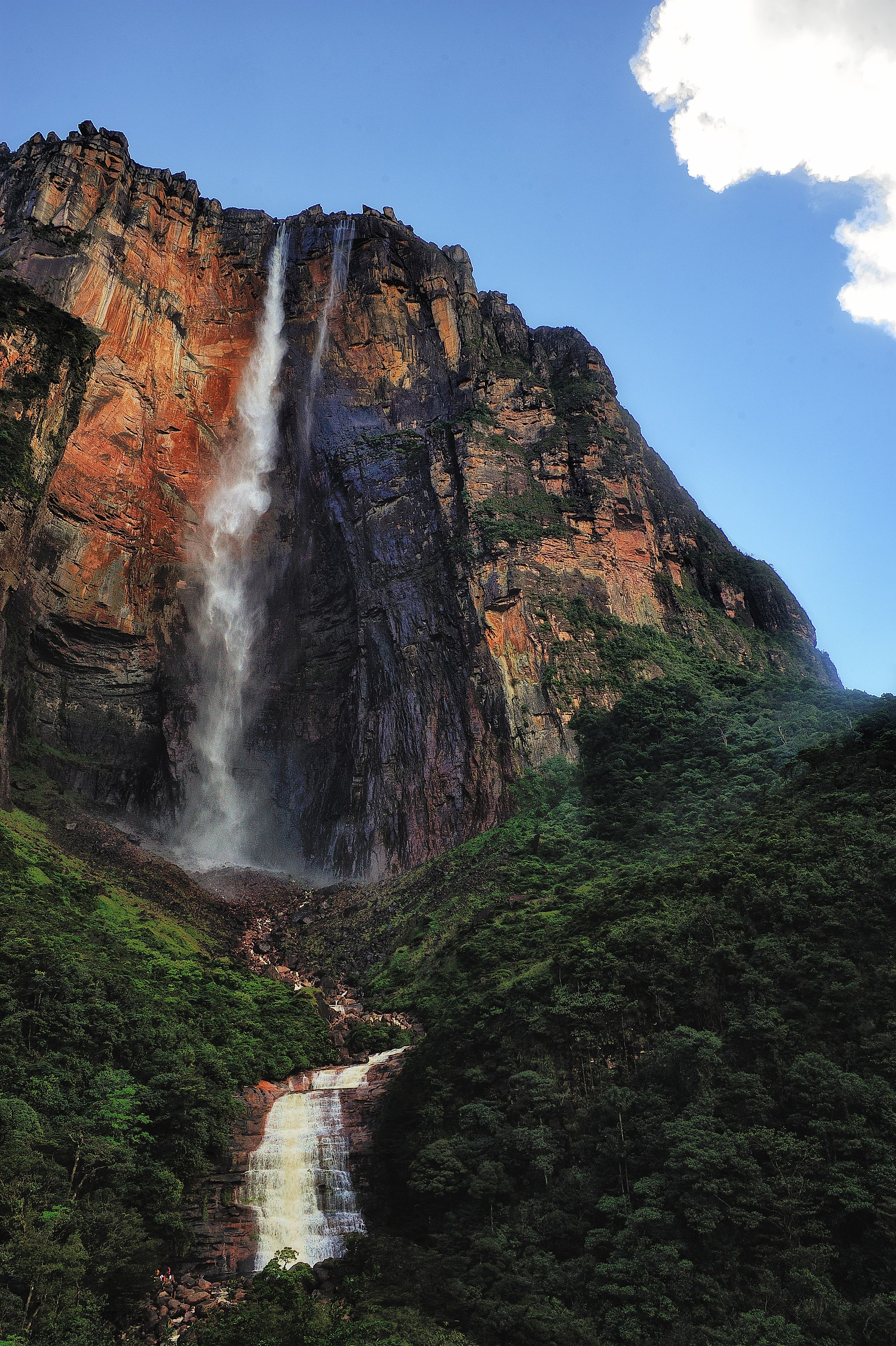
 Chimantá TepuySummit · ~47 min drivePhoto: Paolo Costa Baldi, CC BY-SA 3.0 (via Wikimedia Commons)
- Cerro EnwarapaimáSummit · ~7 min drive
- Cerro MukuripáSummit · ~10 min drive
- Cerro ApagraSummit · ~12 min drive
- Cerro SaunambáSummit · ~12 min drive
- Cerro WaipáSummit · ~16 min drive
- Karumika TepuySummit · ~18 min drive
- Cerro KaruieukúSummit · ~19 min drive
- Serk TepuySummit · ~21 min drive
- Cerro Puyu-IunkaSummit · ~21 min drive
Map and trail data © OpenStreetMap contributors
