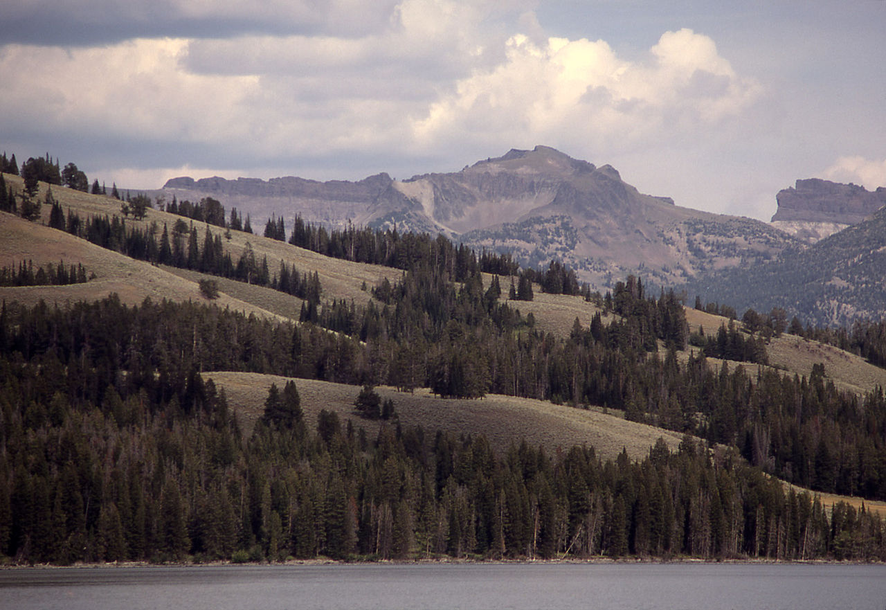
Mount Schurz
About
Mount Schurz is a summit of about 11,137 feet in Park County, Wyoming, inside the Washakie Wilderness. The surrounding land is part of Shoshone National Forest, managed by the Forest Service, and the nearest town is Pahaska Tepee, about 12 miles away. Several other outings sit within a short drive. Beaverdam Creek, a canoeing spot, is about 4 miles away. The Dike Creek Trail and Cabin Creek Cabin Trail are both about 5 miles off, and Eagle Creek offers more paddling about 7 miles away.
Summit Facts
Summit elevation
11,137 ft
Land manager
Forest Service
Elevation from USGS 3D Elevation Program terrain data (about 10 m resolution).
Location
Mount Schurz
Wyoming
Name and location: U.S. Geological Survey, Geographic Names Information System (GNIS). Elevation: USGS 3D Elevation Program. View the GNIS record.
Facts about this place
Where it is
- Washakie Wilderness · Wilderness
- Shoshone National Forest · National forest
- Nearest town
- Pahaska Tepee, Wyoming · 12 mi
- Managed by
- Forest Service
Source: Wilderness.net boundaries; USFS EDW boundaries; USGS PAD-US 4.1; USGS GNIS populated places
Conditions
Active alerts for Shoshone National Forest as of Oct 9, 2026:
caution · posted Sep 14, 2026
Prohibits Camping in Areas that are Posted or Signed as Closed to Camping
information · posted Aug 24, 2026
Acts Prohibited in Wilderness Areas
information · posted Aug 24, 2026
Single Location Occupancy Limited to Sixteen (16) Days; Boat Launching Limited to Boat Ramps
information · posted Aug 24, 2026
Restrictions to Activities in the Sleeping Giant Ski Area and Pahaska Nordic Ski Area
information · posted Aug 24, 2026
Restrictions to Activities on Roads, Trails, and Other Areas
information · posted Aug 24, 2026
Over-Snow Vehicle Area, Road, and Trail Prohibitions
information · posted Aug 24, 2026
Over-Snow Vehicle Area, Road, and Trail Prohibitions
information · posted Aug 24, 2026
Over-Snow Vehicle Area, Road, and Trail Prohibitions
information · posted Aug 24, 2026
Occupancy and Use Restrictions
information · posted Aug 24, 2026
Source: USFS forest alerts
Nearby
- Beaverdam CreekCanoeing3.8 mi
- Dike Creek TrailHiking5.1 mi
- Cabin Creek Cabin TrailHiking5.1 mi
- Lower Ford TrailHiking5.2 mi
- Upper Ford TrailHiking5.3 mi
- 6B4 Campsite Spur TrailHiking5.4 mi
- Eagle CreekCanoeing7 mi
- Mountain CreekCanoeing7.2 mi
Source: Roamze catalog (indexable pages within 10 miles, PostGIS distance)
Is Mount Schurz open right now?
Alert in the area
The Forest Service lists an alert for Shoshone National Forest.
Morrison Jeep Trail
Agency alert covering Shoshone National Forest · USFS · Shoshone National Forest
As of · Source: USFS · Shoshone National Forest. Agencies don't list every closure — check before you go.
