
Medicine Wheel Passage
Wyoming
Map
Byway Details
- Designation
- National Forest Scenic Byway
- Length
- 30 mi in Wyoming
- Managed by
- Forest Service
About Medicine Wheel Passage
Medicine Wheel Passage is a scenic drive in the Medicine Wheel Ranger District of Bighorn National Forest in Wyoming, managed by the Forest Service. The route passes through Burgess Junction, the only town along the way, and stretches about 30 miles. Summer is the most comfortable time to drive it. Typical averages from the nearby Shell weather station show July highs around 89°F with lows near 54°F, while September cools to highs around 76°F. Several stops sit right along the route. Bald Mountain Campground and Five Springs Falls Campground are each about 0.2 miles away, and the Hudson Creek hike starts about 0.3 miles off. Climbers can head to NFSR 121 (a.k.a. Phone Booth Boulders), also about 0.2 miles away.
Scenic byway data: U.S. Department of Transportation, Federal Highway Administration
Facts about this place
When to go
Best time to go: May–Jun. The mildest months here, with typical highs of 69–79°F and lows of 39–47°F.
Typical monthly averages (not a forecast) from the Shell, WY weather station, 20 mi away. High / low in °F.
- Jan33° high6° low
- Feb37° high11° low
- Mar50° high22° low
- Apr59° high29° low
- May69° high39° low
- Jun79° high47° low
- Jul89° high54° low
- Aug87° high51° low
- Sep76° high42° low
- Oct60° high30° low
- Nov45° high18° low
- Dec34° high8° low
Where it is
- Medicine Wheel Ranger District · Ranger district
- Bighorn National Forest · National forest
- Towns along the route
- Burgess Junction
Conditions
Active alerts for Medicine Wheel Ranger District as of Oct 9, 2026:
Forest Special Order 02-02-03-25-05 Shell Falls Interpretive Site Closure
caution · posted Aug 24, 2026
Forest Special Order 02-02-03-25-01 Medicine Wheel Area Closure
information · posted Aug 24, 2026
Source: USFS forest alerts
Nearby
 Bald Mountain CampgroundCampingPhoto: Bas van Oorschot, CC BY-SA 3.0 (via Wikimedia Commons)0.2 mi
- Five Springs Falls CampgroundCamping0.2 mi
- NFSR 121 (a.k.a. Phone Booth Boulders)Rock climbing0.2 mi
 HUDSON CREEKHikingPhoto: Bas van Oorschot, CC BY-SA 3.0 (via Wikimedia Commons)0.3 mi
- East BeaverHiking0.5 mi
- Highway 14a PinnaclesRock climbing0.8 mi
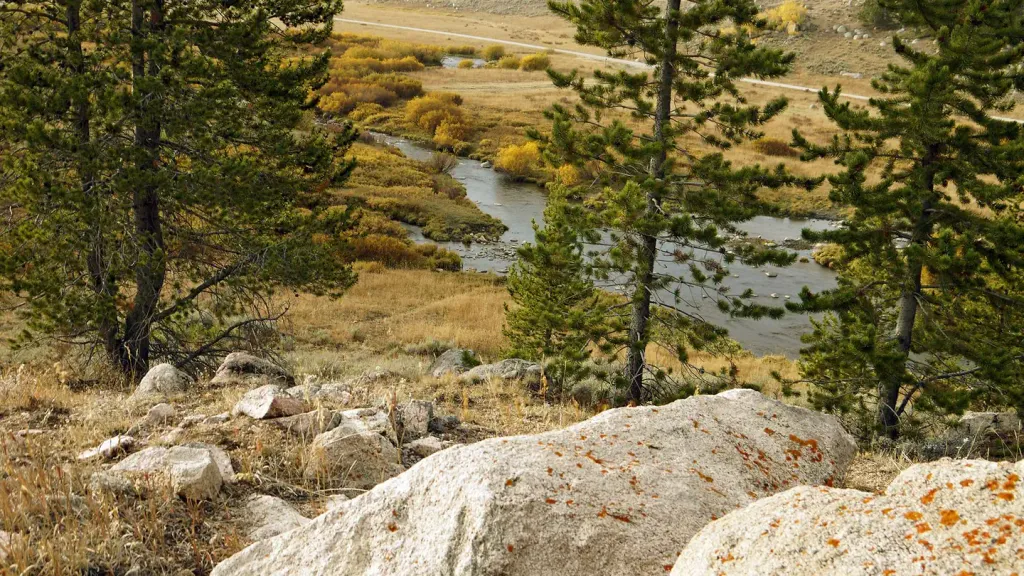 North TongueCampingPhoto: Recreation.gov (RIDB) / public domain0.9 mi
- Porcupine CampgroundCamping1.5 mi
- North BeaverHiking1.6 mi
- Tillets HoleHiking1.7 mi
- Petes HoleHiking1.8 mi
Source: Roamze catalog (indexable pages within 2 miles of the route, PostGIS distance)
