Paddling · 7 spots
Featured spots



All spots · 7 spots

Keep exploring — more water worth the drive
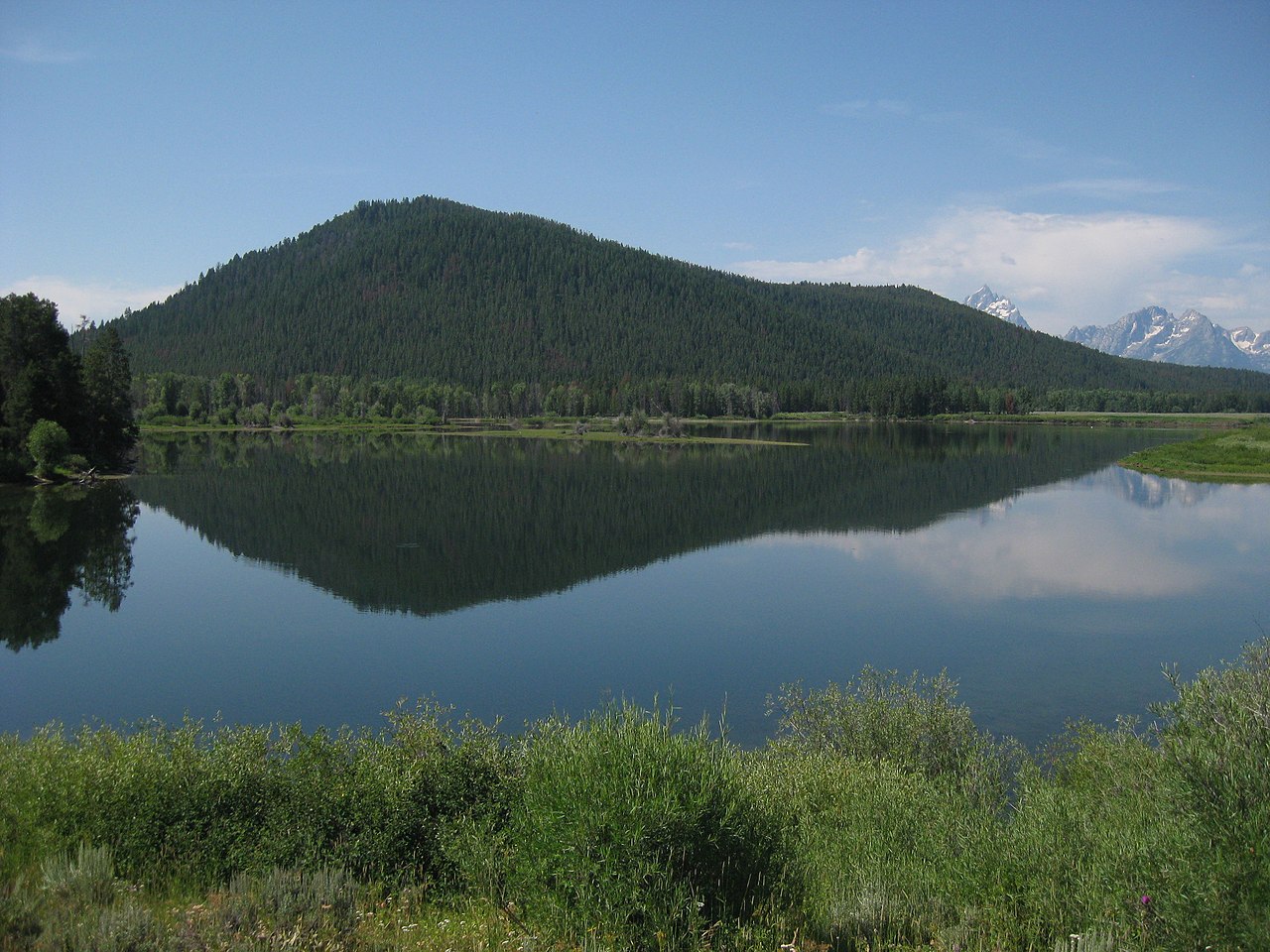
 Photo: Jan Kronsell, Public domain (via Wikimedia Commons)
Lewis River
~43 min drive
Lewis River is a 3.7-mile paddling stretch near Yellowstone National Park, Wyoming. It flows year-round. USGS models an average flow of about 296 cfs and a gradient of about 111.7 feet per mile. Land along it is managed by the National Park Service.
Pacific Creek Landing
~9 min drive
Pacific Creek Landing is a boat launch in Wyoming.
Warm River
~1h 23m drive
A worthwhile stop near Idaho.
 Photo: NPS, Public domain (via Wikimedia Commons)
Heart River
~45 min drive
Heart River is a 4.6-mile paddling stretch near Yellowstone National Park, Wyoming. It flows year-round. USGS models an average flow of about 101 cfs and a gradient of about 39.9 feet per mile. Land along it is managed by the National Park Service.
Atherton Creek Boating Site
~27 min drive
A worthwhile stop near Wyoming.
 Photo: Original uploader was Billy Hathorn at en.wikipedia, CC BY-SA 3.0 (via Wikimedia Commons)
Wind River
~47 min drive
Wind River is a 29-mile paddling stretch near Dubois, Wyoming. It flows year-round. USGS models an average flow of about 99 cfs and a gradient of about 78.2 feet per mile. Land along it is managed by the U.S. Forest Service.
Slide Lake Boating Site
~29 min drive
A worthwhile stop near Wyoming.
 Photo: Daniel Mayer, CC BY-SA 3.0 (via Wikimedia Commons)
Gros Ventre River
~50 min drive
Gros Ventre River is a 36-mile paddling stretch near Jackson, Wyoming. It flows year-round. USGS models an average flow of about 312 cfs and a gradient of about 61.2 feet per mile. Land along it is managed by the U.S. Forest Service.
Moose Landing
~35 min drive
Moose Landing is a boat launch in Wyoming.
 Photo: Unknown author, Public domain (via Wikimedia Commons)
Fall River
~53 min drive
Fall River is a 9.7-mile paddling stretch near Yellowstone National Park, Wyoming. It flows year-round. USGS models an average flow of about 859 cfs and a gradient of about 115.4 feet per mile. Land along it is managed by the National Park Service.
Lewis Lake
~54 min drive
Lewis Lake is a boat launch in Wyoming.
 Photo: Wing-Chi Poon, CC BY-SA 2.5 (via Wikimedia Commons)
Firehole River
~1h 16m drive
Firehole River is a 12-mile paddling stretch near Yellowstone National Park, Wyoming. It flows year-round. USGS models an average flow of about 309 cfs and a gradient of about 89.3 feet per mile. Land along it is managed by the National Park Service.