Loading…

Willow Park Vault Toilet
Free — you'll pick up right here.
Watch this trail
Sign up to watch it — saving subscribes you to gate, closure and report changes.
Wyoming
We won't guess. Here is exactly what we do and don't know.
What we do know
Inside Yellowstone National Park
National Park unit boundary is mapped — agency alerts for it feed this page automatically.
Boundary data
What's missing
No access route mapped
We don't yet know which road reaches this trailhead, so we can't tell you if it's gated.
Nobody's filed a report here yet — be the first.
Willow Park Vault Toilet
AI-suggested draft · review before you go
No elevation data on file for this trail.
Willow Park Vault Toilet is a hiking trail located in Wyoming, managed by the National Park Service. This trail provides access to a vault toilet facility within the park area. The trail is situated near Wyoming and serves as a practical route for visitors needing to reach restroom facilities in the backcountry or remote areas of the park. As a National Park Service-maintained trail, it adheres to federal recreation standards and is part of the broader network of hiking routes in the region. The vault toilet represents typical infrastructure found in less-developed areas of national parks, designed to accommodate visitors while minimizing environmental impact in sensitive ecosystems. The trail's primary function combines recreation with practical utility, making it a useful reference point for hikers planning trips in the Wyoming area. Visitors should note that specific details about distance and elevation gain are not currently available, so checking with the National Park Service directly is recommended before planning a visit to confirm current conditions and any necessary preparations.
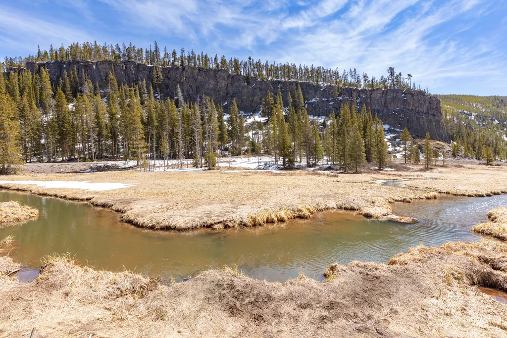
Obsidian Creek
~2 min drive
<p>A creek that forms west of Roaring Mountain and flows north until it joins the Gardner River near the Indian Creek Campground. Obsidian Creek flows by Roaring Mountain and Obsidian Cliff.</p>

Bunsen Peak Trail
~8 min drive
8.4 mi · Moderate

Howard Eaton Trail
~19 min drive
22 mi · Hard
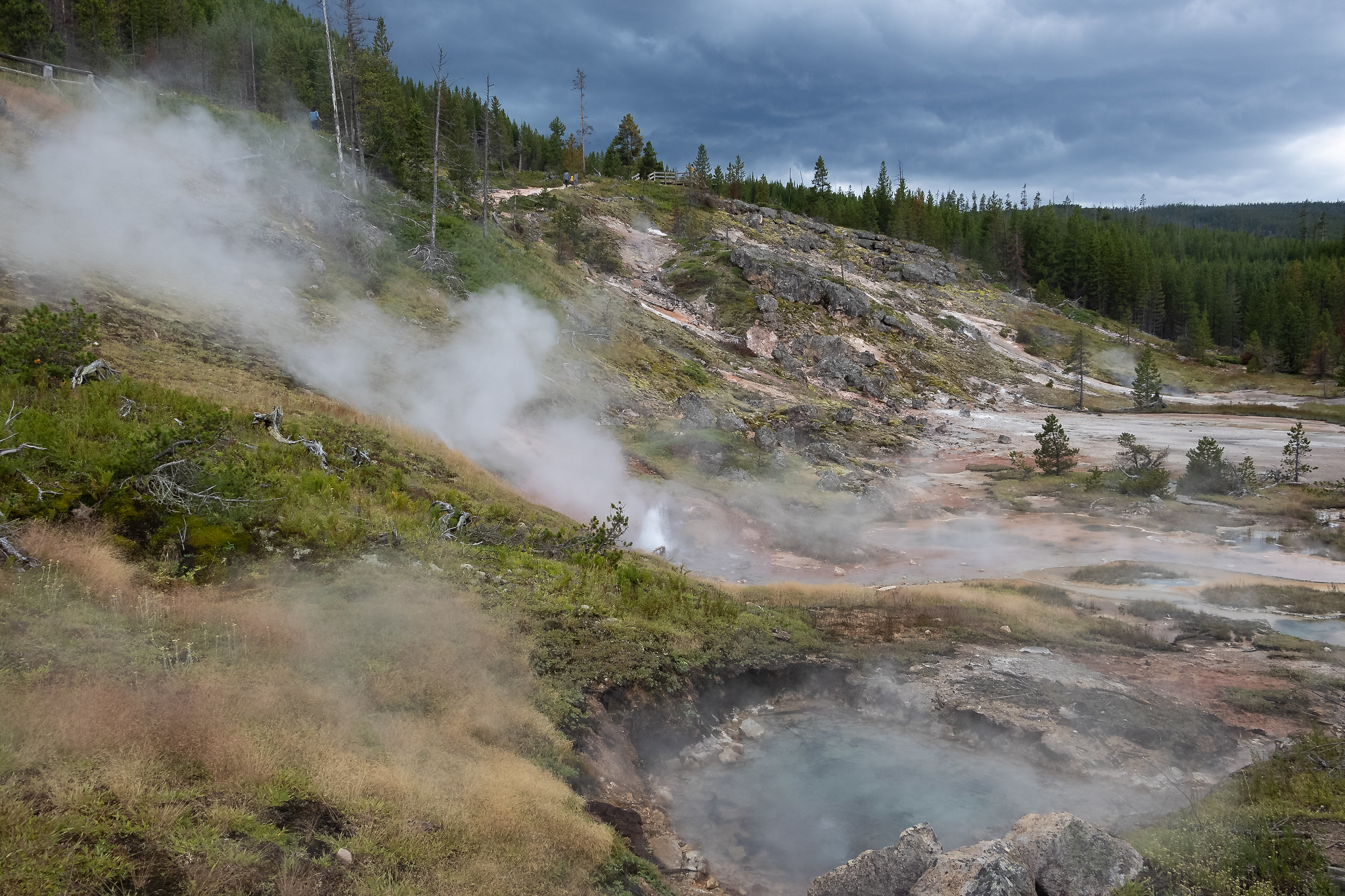
Artists Paintpots Trail
~20 min drive
This is a one-mile (1.6 km) trail that enters a partially burned lodgepole pine forest, then winds across a wet meadow on a boardwalk. This trail is a short loop. The hydrothermal area has colorful hot springs, mudpots, and small geysers. Watch out for flying mud. Stay on th…
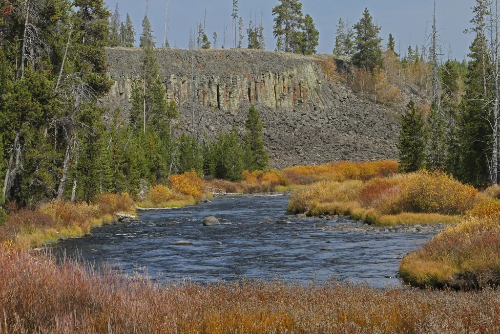
Sheepeater Cliff
~4 min drive
<p>Sheepeater Cliff is made up of columnar basalt deposited by lava flows roughly 500,000 years ago. The Gardner River flows through the valley, exposing the flow and forming the cliff. The basalt of Sheepeater Cliff are known as columnar basalt due to the hexagonal fracture l…
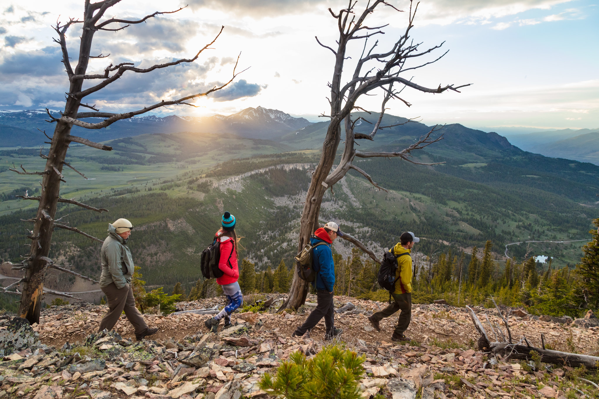
Bunsen Peak Trailhead (1K4)
~8 min drive
Bunsen Peak prominently sits south of Mammoth Hot Springs. From this trailhead, you can embark on the following trails: Bunsen Peak Trail Bunsen Peak Road Trail Osprey Falls Trail Parking is limited. Winter trailhead access requires a snow coach drop-off, or skiing up from…
Yellowstone River
~22 min drive
Scenic 5.5-mile riverside hike with steady elevation gain in the Yellowstone region.
Obsidian Cliff
~5 min drive
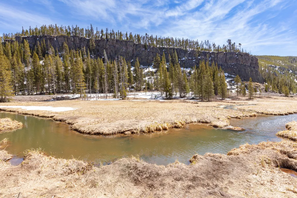
<p>Obsidian is found in volcanic areas where the magma is rich in silica and lava has cooled without forming crystals, creating a black glass that can be honed to an exceptionally thin edge. Unlike most obsidian, which occurs as small rocks strewn amid other formations, Obsidi…
Bunsen Peak Overlook
~11 min drive
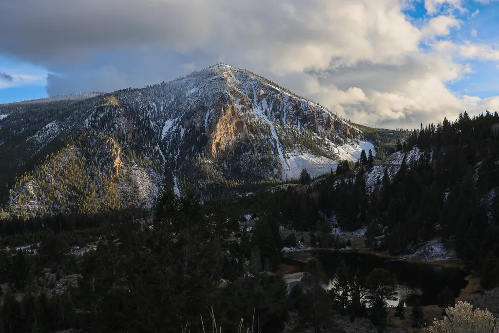
<p>Bunsen Peak prominently sits south of Mammoth Hot Springs. From this trailhead, you can embark on the following trails:</p> <ul> <li>Bunsen Peak Trail</li> <li>Bunsen Peak Road Trail</li> <li>Osprey Falls Trail</li> </ul> <p>Parking is limited. Winter trailhead access requi…
The Gallatin Range
~7 min drive
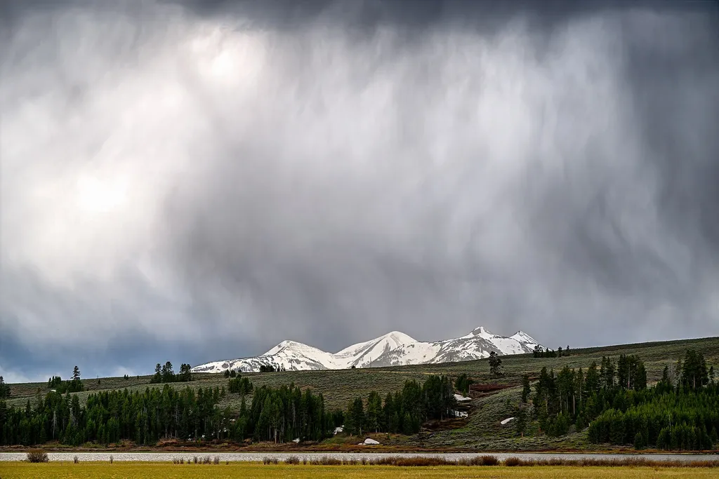
<p>This view from this relatively flat meadow known as Swan Lake Flat gives a commanding view of Swan Lake and the Gallatin Range to the west.</p> <p>The peaks visible from this location while looking to the west are (from south to north):</p> <ul> <li>Trilobite Point (10,010…
