Penrose Creek
- 5.8 mi
- round trip
- 717 ft
- climb
- 9,448 ft
- high point
- Out and back
- route
Caution today
Agency alerts are in effect for this area; weather is marginal · USFS, OpenWeather · checked 7 h ago
Is Penrose Creek open right now?
No closures listed
The Forest Service lists no closures for Bighorn National Forest.
As of · Source: USFS · Bighorn National Forest. Agencies don't list every closure — check before you go.
Penrose Creek is a 5.8-mile out-and-back hike in the Cloud Peak Wilderness, part of the Tongue Ranger District of Bighorn National Forest in Wyoming. The Forest Service manages the land, and the trail runs on natural surface, so expect a rugged route rather than a developed one. The climb gains about 717 feet, from a low of 8,655 feet to a high of 9,448 feet, and the hike is rated hard. Horses are allowed on the trail, which makes it a viable option for riders as well as hikers. The wilderness setting adds to the sense of backcountry travel. For more time in the area, Tut's 038 Shortcut is about 1.6 miles away and Solitude Loop Trail about 2.3 miles. Paddlers can head to Kearny Creek, about 1.9 miles off, and Hunter Campground sits about 9 miles away for anyone planning an overnight stay.
- Tut's 038 ShortcutHiking1.6 mi
- Kearny CreekCanoeing1.9 mi
- Solitude Loop TrailHiking2.3 mi
- Frying Pan LakeHiking2.5 mi
 Cloud Peak Wilderness AreaRock climbingPhoto: PJsg1011, CC0 (via Wikimedia Commons)6.8 mi
- South Piney CreekCanoeing7.3 mi
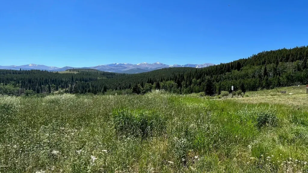 Hunter CampgroundCampingPhoto: Recreation.gov (RIDB) / public domain9 mi
- Nautilus AreaRock climbing9.8 mi
Source: Roamze catalog (indexable pages within 10 miles, PostGIS distance)
- Willow Loop TrailHiking · ~2 min drive
- Solitude Loop TrailHiking · ~4 min drive
- Solitude LoopHiking · ~5 min drive
- Little GooseHiking · ~10 min drive
- Cloud Peak Cutoff TrailHiking · ~5 min drive
- Middle Rock CreekHiking · ~6 min drive
- Fire BoxHiking · ~11 min drive
- Elk Lake CutoffHiking · ~6 min drive
- Martini LoopHiking · ~11 min drive
- Elk LakeHiking · ~12 min drive
Also worth it near here
- South Piney LakesLake fishing · ~7 min drive
- Balm of GileadMountain biking · ~11 min drive
 Mount WoolseySummit · ~11 min drivePhoto: Ttharp at English Wikipedia, Public domain (via Wikimedia Commons)
- South Rock CreekCanoeing · ~12 min drive
- Cloud Peak Wilderness AreaRock climbing · ~12 min drivePhoto: PJsg1011, CC0 (via Wikimedia Commons)
