Loading trail…

Laurance S. Rockefeller Preserve Trailhead
Free — you'll pick up right here.
Save this plan
Sign up to save your own editable copy — you'll pick up right here.
Wyoming
No conditions check on file for this trail yet — always verify current conditions before you go.
Why you'll love it
Laurance S. Rockefeller Preserve Trailhead
AI-suggested draft · review before you go
No elevation data on file for this trail.
General Description The Laurance S. Rockefeller Preserve contains a trail network, a unique visitor center, and the opportunity to connect with nature on a deeper level. This 1,100 acres of land was once known as the JY Dude Ranch. Eventually, John D. Rockefeller and his family—who had great influence on the creation of the park—eventually purchased the ranch and it became a family retreat. Laurance, the son of John D. Rockefeller, announced in 2001 that this privately owned parcel of land would be donated to the park and in 2008, the preserve opened to the public. Laurance's vision of creating a place that fostered a deeper connection with the natural world continues today. Location The Laurance S. Rockefeller Preserve Trailhead and Visitor Center is accessed by turning off Moose-Wilson Road. Please note that no vehicles over 23 feet long, 8 feet wide, or trailers are allowed on Moose-Wilson Road. After turning into the preserve, short drive will take you to a small parking lot that holds 50 vehicles. The parking lot is usually full from 9am-4pm during peak summer months; a queue is formed once filled. There are restrooms in the parking lot, up by the visitor center, and by the lakeshore. The Preserve Center offers visitor information, water and restrooms. Backcountry camping requires a permit-pick one up at a backcountry permits office. Backcountry campers may not leave a vehicle at the Laurance S. Rockefeller Preserve parking lot. Notes Unlike most hikes in Grand Teton, there is a restroom (with no potable water) right before the lakeshore. Due to the unique and serene design of the preserve, it is recommended to keep group size to a max of ten people. Please note that no vehicles over 23 feet long, 8 feet wide, or trailers are allowed on Moose-Wilson Road. The parking lot holds 50 cars is usually full from 9am-4pm during peak summer months; a queue is formed once filled Hikes A short pathway leads you from the parking lot to the visitor center. Here, you can tour the center and its exhibits, use the restrooms, and begin your hike. An informational kiosk outside the center marks the beginning of the preserve's trail system. Rangers are present at the visitor center during the summer months and can answer questions. Black bears frequent this area so remember to bear aware while hiking. Lake Creek-Woodland Trail Loop 3.0 miles round-trip, 1.5 hours, 300 ft total climbing. Easy. Trail follows Lake Creek to several scenic views across Phelps Lake, then loops back through a mature forest on the Woodland Trail. Aspen Ridge-Boulder Ridge Loop 5.8 miles round-trip, 3 hours, 550 ft total climbing. Moderate. Hike a forested loop with views of Phelps Lake and the valley. Optionally, hike through a boulder field. Phelps Lake Trail Loop 6.3 miles round-trip, 4+ hours, 600 ft total climbing. Moderate. Hike around Phelps Lake crossing the wetland boardwalk. Name Origin Laurance S. Rockefeller was the fourth child of John D. Rockefeller, Jr. and Abigail Rockefeller. Laurance was a businessman, philanthropist and conservationist. He transferred the family retreat (formerly the JY Dude Ranch) to Grand Teton National Park in 2001. After the removal of ranch infrastructure, and the construction of trails and a LEED Platinum certified visitor center, the Laurance S. Rockefeller Preserve opened to the public in 2008.

Aspen Ridge Trail
~2 min drive
5.4 mi · Easy
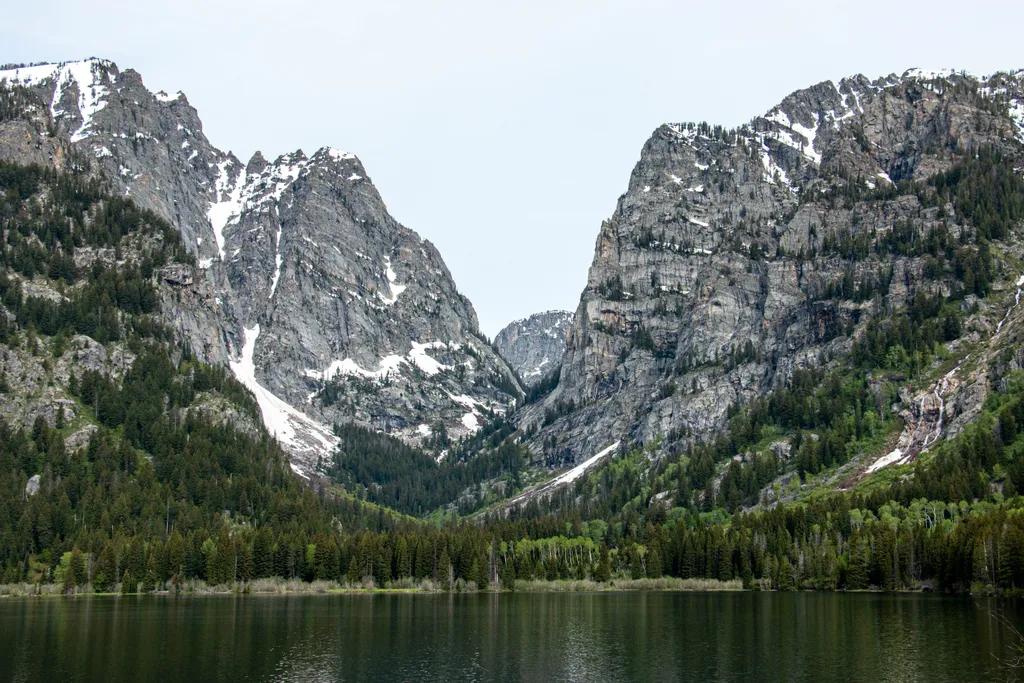
Death Canyon Trailhead
~4 min drive
<p><b>Location:</b> Access the Death Canyon trailhead from the Moose-Wilson Road. Travel three miles south from Moose and turn north on a spur road. The last mile leading to the trailhead is a narrow, rough dirt road recommended for high-clearance vehicles.<br /> <br /> <b>Not…

Valley Trail
~4 min drive
31 mi · Hard
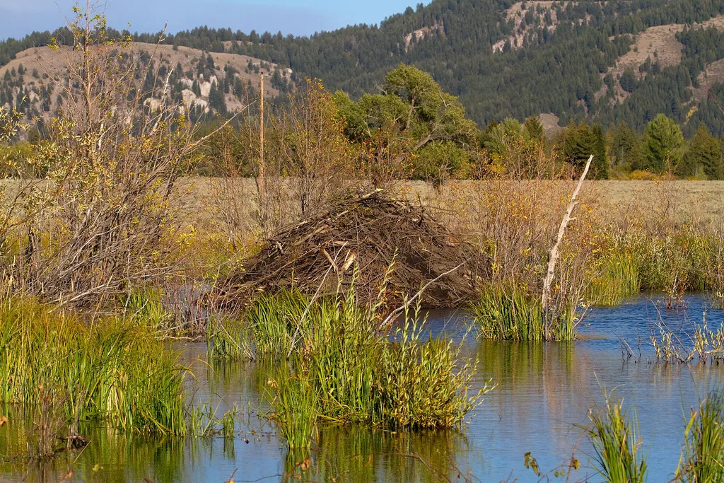
Murie Homestead Cabin
~5 min drive
<p>In 1945, the Muries bought the STS Ranch, with Adolph and Louise living in the original building now known as the Homestead. In 1926, the Murie brothers began their master's degree programs at the University of Michigan in the young science of ecology. While Olaus' studies…
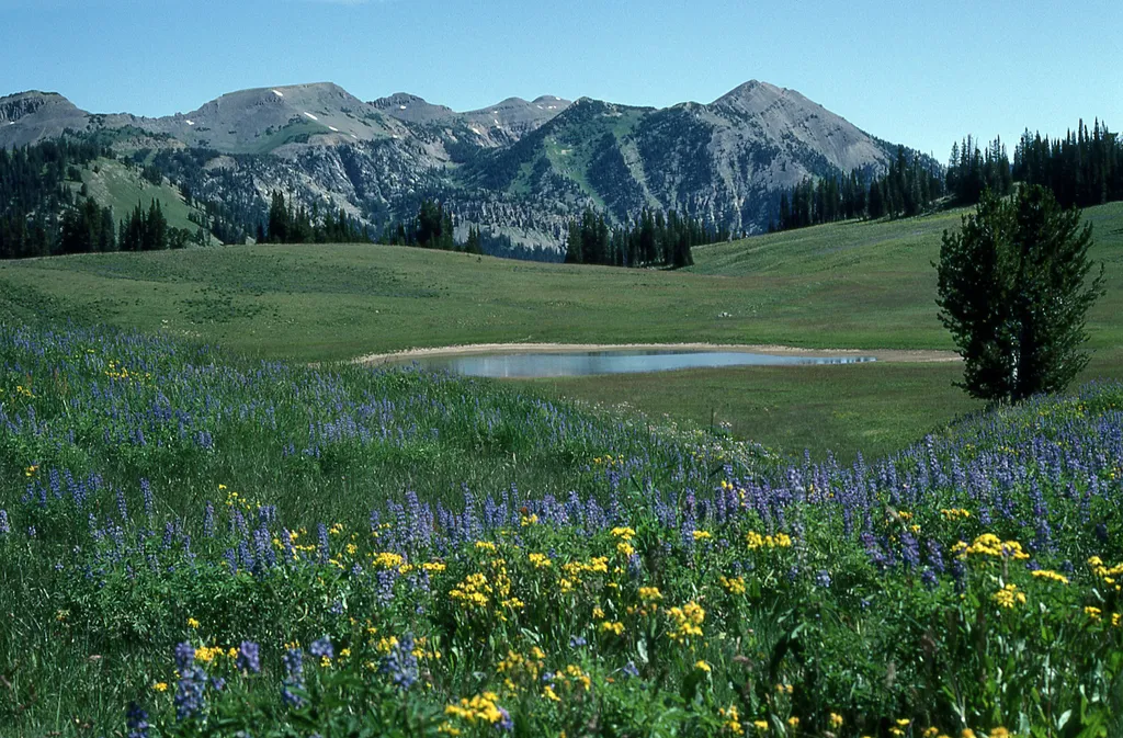
Granite Canyon Trailhead
~3 min drive
<p><b>Location:</b> Access the Granite Canyon Trailhead one mile north of the Granite Entrance Station on the Moose-Wilson Road. The road is not accessible to vehicles over 23.3 feet long or trailers. The parking lot is small so arrive early in the day to secure your space.<br…

Taggart Lake Trail
~9 min drive
7.3 mi · Moderate
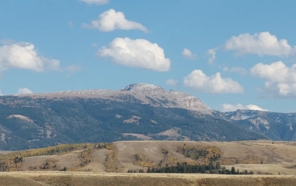
Sleeping Indian Turnout
~5 min drive
<p>Sleeping Indian turnout along US Highway 89/26/191 gives you sweeping views of both the Teton and Gros Ventre Range. The Gros Ventre Mountains—impressive in their own right—surround the southeast portion of the valley. One peak in the range stands out prominently. Nicknamed…
Taggart Lake Trailhead
~9 min drive
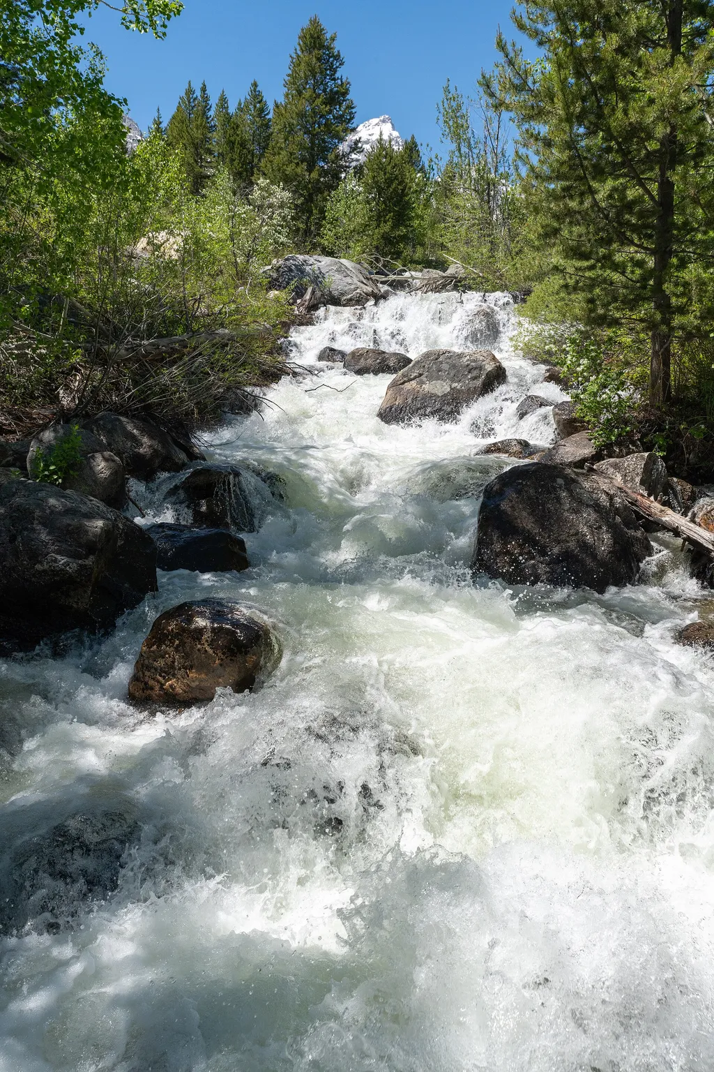
<p><b>Location:</b> Access the Taggart Lake trailhead from the Teton Park Road three and a half miles northwest from Moose Junction.<br /> <br /> <b>Notes:</b> Visitor services include a modest-sized parking lot, a vault toilet, map brochure box, bike rack and a trailhead sign…
Albright View Turnout
~5 min drive
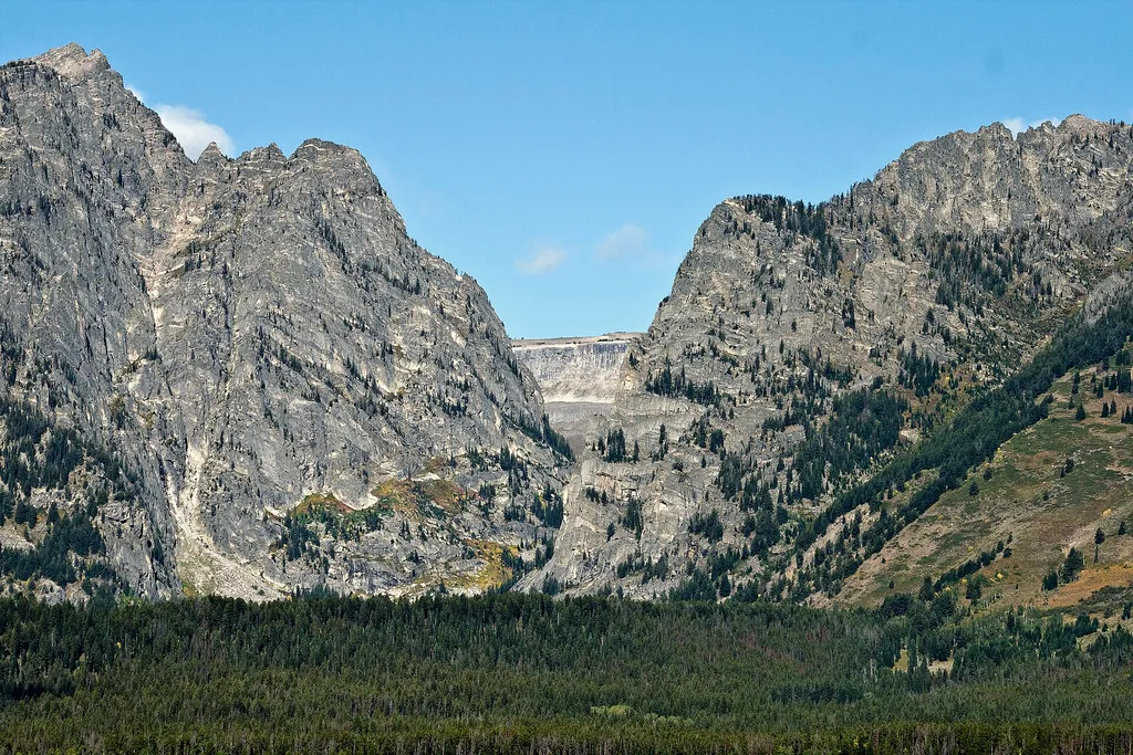
<p>Albright turnout is one of many scenic viewpoints along the highway through the park. Use turnouts like this one to take photos and enjoy wildlife safely. Do not stop along the road on the main highway to keep you and other visitors safe. Although the Teton Range dominates…
Cottonwood Creek Overlook
~9 min drive
<p>A popular fall photograph captures the Jimmy Manges cabin, the park stock used by the summer trial crew, the aspens turning golden and the Grand Teton towering above. A corral is a classic buck and rail fence used by the early homesteaders. Enjoy the view of the horses and…