
Casper East RV Park
Fishing business nearby (~14 mi away) — hasn't claimed their Roamze page yet
Free — you'll pick up right here.
Watch this water
Sign up to watch it — saving subscribes you to gate, closure and report changes.
Wyoming
No agency boundary, access route or field report is mapped to it — so there is no verdict, and we won't guess. We'll tell you the moment this water has something to say.
Covered nearby
Waters within 25 miles where we do have a current picture.
Nobody's filed a report here yet — be the first.
Why you'll love it
Bessemer Bend
AI-suggested draft · review before you go
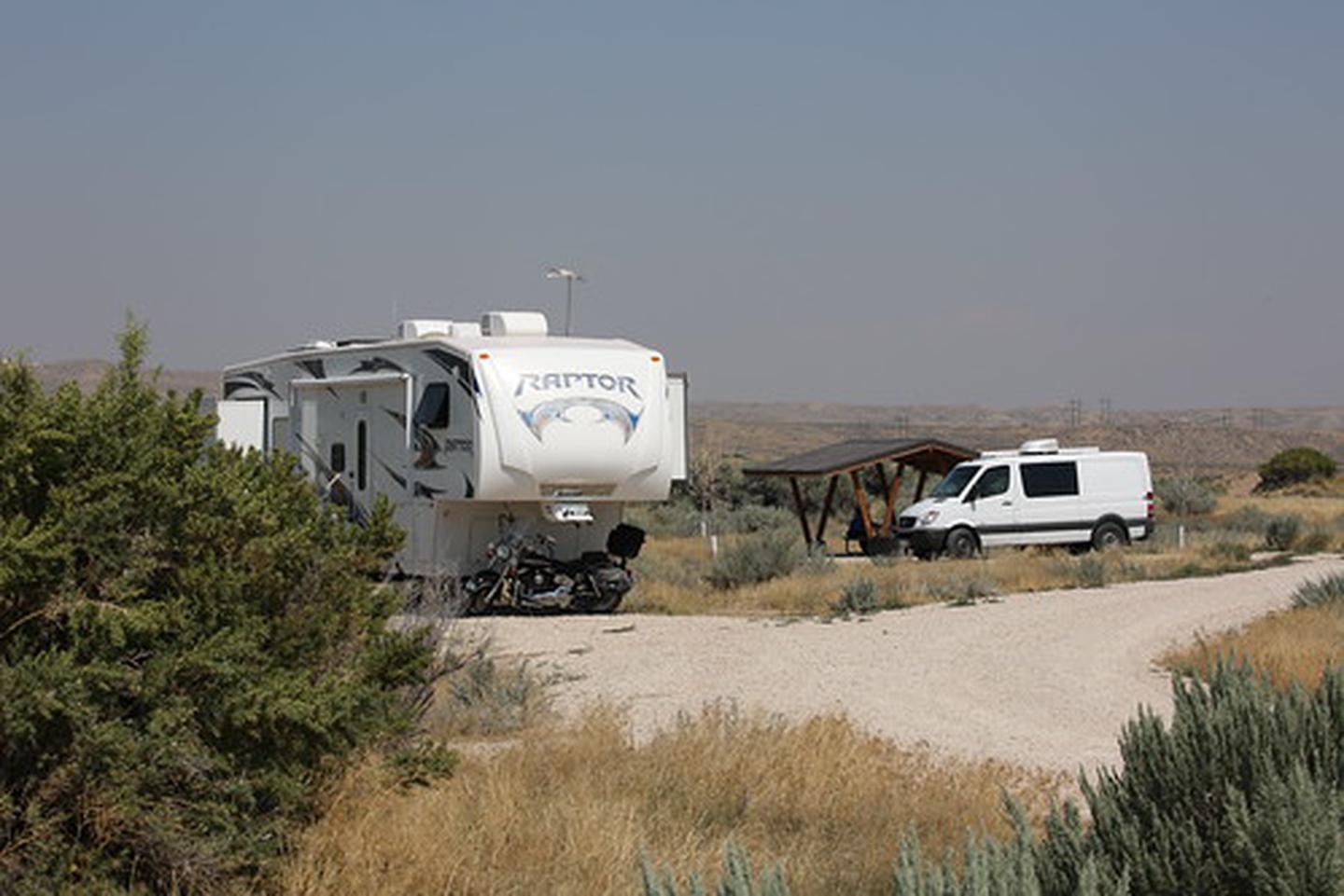
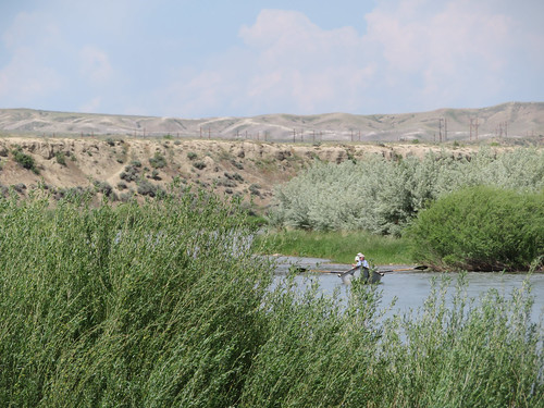
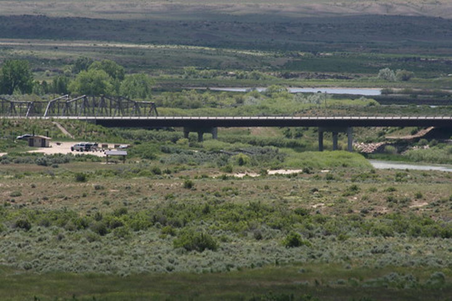
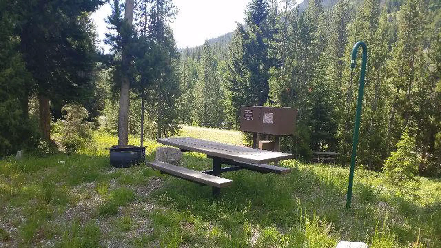
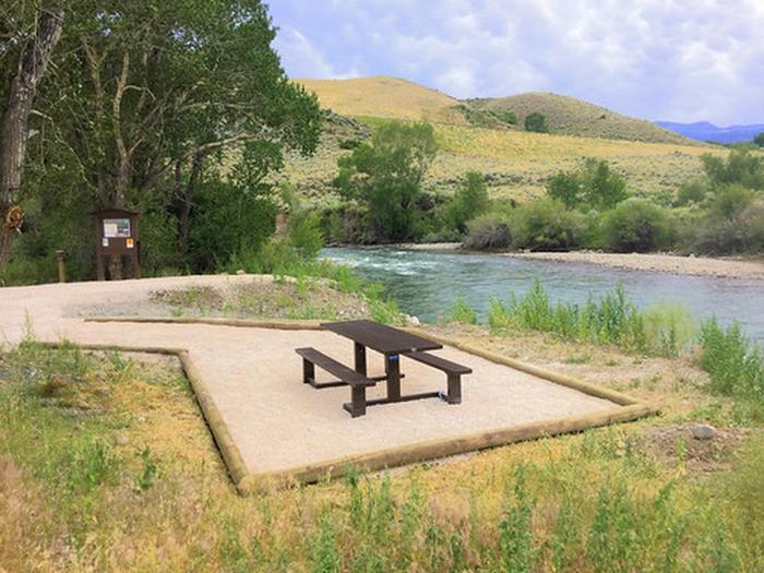
The distinctive Red Buttes stand above Bessemer Bend, the last fording site of the North Platte River on the Oregon Trail. This river, which the emigrants had followed for hundreds of miles, now turned to the south and became impassable. Toll ferries and bridges downstream of the Bend were established after 1847, but emigrants, including the handcart companies of 1856, who did not want to pay the tolls, used Bessemer Bend as a low-water crossing. There is a BLM interpretive site at the crossing. This site has a parking area, picnic tables, a vault toilet and an interpretive trail. It is a non-fee area and is ADA accessible.
The Redds Day Use Area
~27 min drive
A worthwhile stop near Wyoming.
Chalk Bluffs Campground
~14 min drive
A worthwhile stop near Wyoming.
North Platte River - Grey Reef
~28 min drive
Moderate
Pathfinder Reservoir
~45 min drive
Easy
La Prele Guard Station
~1h 12m drive
A worthwhile stop near Wyoming.
Miles Landing
~18 min drive
A worthwhile stop near Wyoming.
Seminoe Reservoir
~1h 20m drive
Moderate
Whitetail Day Use Area
~16 min drive
A worthwhile stop near Wyoming.
Pete's Draw Campground
~27 min drive
A worthwhile stop near Wyoming.
Bolton Creek
~18 min drive
A worthwhile stop near Wyoming.
Local operators near Casperoffering guided trips. You book directly with them — Roamze doesn’t take a cut.
Casper East RV Park
Fishing business nearby (~14 mi away) — hasn't claimed their Roamze page yet
