Mississippi Ridge Trail
- 1.6 mi
- round trip
- 422 ft
- climb
- 1,084 ft
- high point
- Out and back
- route
- Apr–Oct
- best months
Mississippi Ridge Trail is an easy out-and-back hike in Wyalusing State Park in Wisconsin, managed by the State Department of Natural Resources. The trail is about 1.6 miles long, and the round trip covers roughly 3.2 miles with a total elevation gain of about 422 feet. The climb is gentle, with the steepest stretch at about 0.3 miles in, where the grade reaches 8 percent. Late spring and early fall are the most comfortable times to go. Typical averages from a nearby weather station in Prairie Du Chien show May highs around 70°F and September highs around 74°F, with July the warmest month at about 83°F. That station sits several hundred feet lower than the trail, so temperatures on the ridge run a bit cooler. The Wyalusing Park Canoe Trail is about 1.2 miles away. Across the state line in Iowa, Deer Ridge, Bridal Veil and Weeping Rock are all within about 3 miles.
- Wyalusing Park Canoe TrailCanoeing1.2 mi
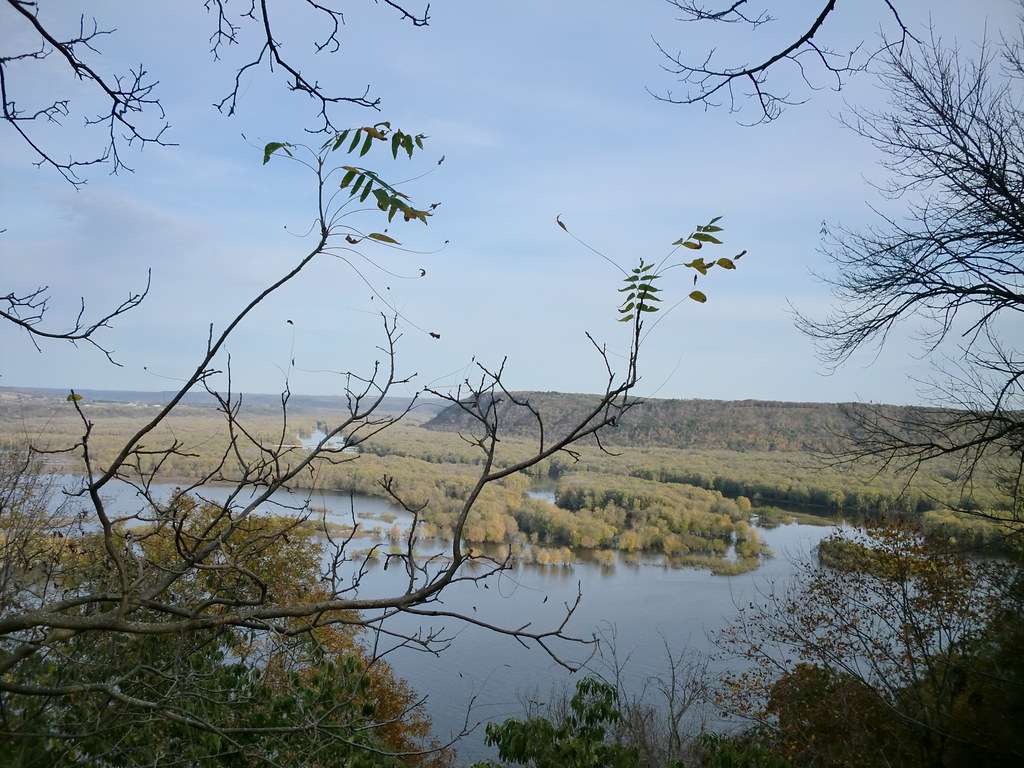 Deer RidgeHikingPhoto: Zonie_Zambonie, CC BY 2.0 (via Flickr)2.8 mi
 Bridal VeilHikingPhoto: McGhiever, CC BY-SA 3.0 (via Wikimedia Commons)3 mi
- Weeping RockHikingPhoto: Zonie_Zambonie, CC BY 2.0 (via Flickr)3.1 mi
- Hickory RidgeHiking3.1 mi
- West Hickory RidgeHiking3.3 mi
- Chinquapin RidgeHikingPhoto: McGhiever, CC BY-SA 3.0 (via Wikimedia Commons)3.7 mi
- Point AnnHikingPhoto: McGhiever, CC BY-SA 3.0 (via Wikimedia Commons)3.8 mi
Source: Roamze catalog (indexable pages within 10 miles, PostGIS distance)
- Deer RidgeHiking · ~5 min drivePhoto: Zonie_Zambonie, CC BY 2.0 (via Flickr)
- West Hickory RidgeHiking · ~6 min drive
- Bridal VeilHiking · ~5 min drivePhoto: McGhiever, CC BY-SA 3.0 (via Wikimedia Commons)
- Weeping RockHiking · ~5 min drivePhoto: Zonie_Zambonie, CC BY 2.0 (via Flickr)
- Chinquapin RidgeHiking · ~6 min drivePhoto: McGhiever, CC BY-SA 3.0 (via Wikimedia Commons)
- Point AnnHiking · ~7 min drivePhoto: McGhiever, CC BY-SA 3.0 (via Wikimedia Commons)
 Horn HollowHiking · ~8 min drivePhoto: avinashbhat, CC BY-SA 2.0 (via Flickr)
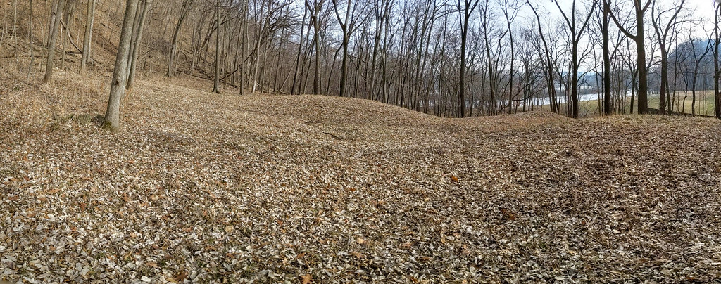 Fire Point LoopHiking · ~16 min drivePhoto: RuggyBearLA, CC BY 2.0 (via Flickr)
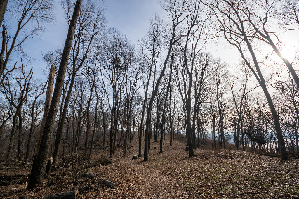 Hanging Rock TrailHiking · ~17 min drivePhoto: RuggyBearLA, CC BY 2.0 (via Flickr)
 South Overlook TrailHiking · ~22 min drivePhoto: Tony Webster, CC BY-SA 2.0 (via Flickr)
Best time to visit Mississippi Ridge Trail
Best months: April–October. Best months have typical highs of 55–85 °F, lows of 30 °F or warmer (32 °F where the station doesn't record snow), at most one snowy day and no more than 12 wet days.
Jan
27° / 10°
8 wet
Feb
32° / 13°
7 wet
Mar
45° / 25°
8 wet
Apr
59° / 37°
10 wet
May
70° / 48°
12 wet
Jun
80° / 59°
11 wet
Jul
83° / 63°
9 wet
Aug
81° / 61°
8 wet
Sep
74° / 52°
8 wet
Oct
62° / 40°
8 wet
Nov
46° / 28°
7 wet
Dec
33° / 17°
8 wet
Typical high / low (°F) and days with rain or snow, 1991–2020. Measured at Prairie Du Chien, WI, 6.5 mi away at 658 ft. This station doesn't record snowfall. Source: NOAA NCEI U.S. Climate Normals 1991–2020.
Map and trail data © OpenStreetMap contributors
