Lost Lake Hwt Loop E
- 1.2 mi
- round trip
- 98 ft
- climb
- 1,551 ft
- high point
- Out and back
- route
- May–Sep
- best months
Is Lost Lake Hwt Loop E open right now?
Closure in the area
There's a closure order in Chequamegon-Nicolet National Forest. It doesn't name Lost Lake Hwt Loop E, so check the source for the area it covers (2 listed).
Forest Lodge Occupancy and Use Prohibitions
Agency closure covering Chequamegon-Nicolet National Forest · Order 09-13-00-26-02 · USFS · Chequamegon-Nicolet National Forest
Forest Order 09-13-25-02 General Occupancy and Use Restrictions
Agency closure covering Chequamegon-Nicolet National Forest · Order 09-13-25-02 · USFS · Chequamegon-Nicolet National Forest
As of · Source: USFS · Chequamegon-Nicolet National Forest. Agencies don't list every closure — check before you go.
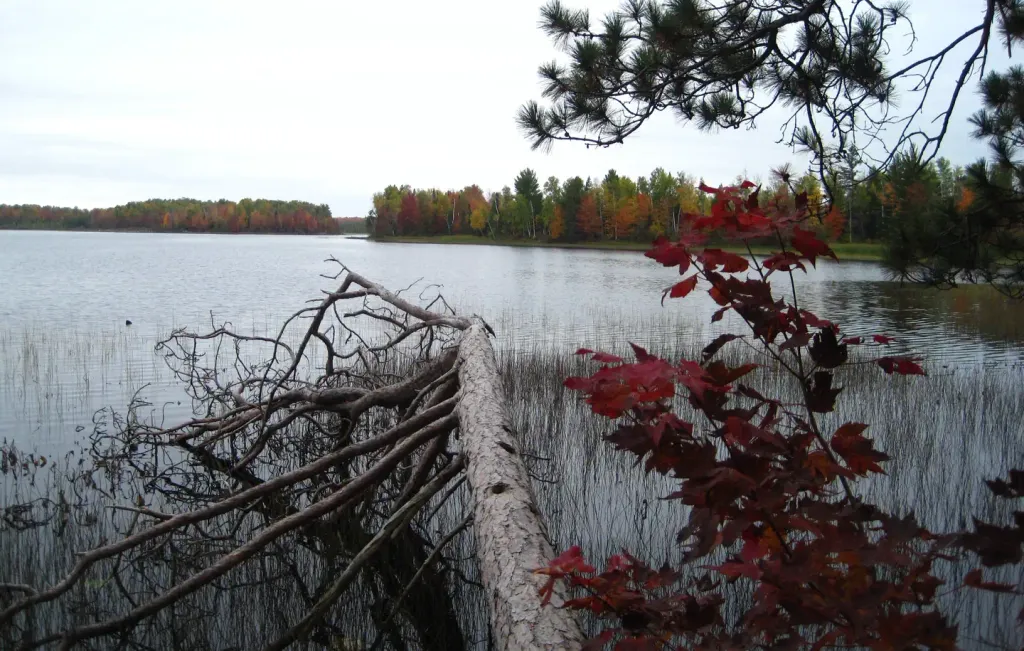
Lost Lake Hwt Loop E is an easy, out-and-back hike of about 1.2 miles in the Medford-Park Falls Ranger District of Wisconsin's Chequamegon-Nicolet National Forest. The Forest Service manages the land, and the route lies within a cluster of short loops, with Lost Lake Hwt Loop D about 0.1 mile away and Lost Lake Hwt Loop A about 0.2 mile off. The trail is natural-surfaced and has a low elevation gain of about 98 feet round trip, with a high point of 1,551 feet and the steepest stretch near 0.4 miles in. It is accessible to horses and bikes, and the Forest Service lists it as not an accessible trail. Summer is the most comfortable time to go. Typical July averages from a nearby weather station in Park Falls run around 78°F for highs and 56°F for lows, and the open season runs from May 1 to November 30. Close by, Smith Rapids campground sits about 3.9 miles away, and the Flambeau River is about 9.3 miles off for paddlers.
- Lost Lake Hwt Loop DHiking0.1 mi
- Lost Lake Hwt Loop AHiking0.2 mi
- Lost Lake Hwt Loop FHiking0.2 mi
- Smith RapidsCamping3.9 mi
- Smith Rapids PavilionCamping3.9 mi
 Sailor Lake PavilionCampingPhoto: Recreation.gov (RIDB) / public domain5.1 mi
 Flambeau RiverCanoeingPhoto: Unknown author or not provided, Public domain (via Wikimedia Commons)9.3 mi
- Medford - Park Falls DistrictLake fishing9.5 mi
Source: Roamze catalog (indexable pages within 10 miles, PostGIS distance)
 Round Lake Loop CHiking · ~15 min drivePhoto: usfs_Eastern_Region, Public domain (via Wikimedia Commons)
- Wintergreen Loop DHiking · ~6 min drive
- Wintergreen Loop BHiking · ~7 min drive
- Lost Lake Hwt Loop DHiking · Next door
- Wintergreen Loop AHiking · ~7 min drive
- River SaddleHiking · ~8 min drive
- Lost Lake Hwt Loop AHiking · Next door
- HogsbackHiking · ~7 min drive
- Lost Lake Hwt Loop FHiking · Next door
- Riley Creek HwtHiking · ~10 min drive
Best time to visit Lost Lake Hwt Loop E
Best months: May–September. Best months have typical highs of 55–85 °F, lows of 30 °F or warmer (32 °F where the station doesn't record snow), at most one snowy day and no more than 12 wet days.
Jan
20° / 2°
Feb
25° / 4°
Mar
37° / 16°
Apr
51° / 29°
May
65° / 43°
Jun
74° / 52°
Jul
78° / 56°
Aug
76° / 55°
Sep
67° / 46°
Oct
53° / 34°
Nov
38° / 22°
Dec
25° / 10°
Typical high / low (°F) and days with rain or snow, 1991–2020. Measured at Park Falls Dnr Hq, WI, 9.5 mi away at 1,525 ft. This station doesn't record snowfall. Source: NOAA NCEI U.S. Climate Normals 1991–2020.
