Iat - Saint Croix Falls Segment
- 8.7 mi
- one way
- 777 ft
- climb
- 1,135 ft
- high point
- Point to point
- route
- Apr–Oct
- best months
The Iat - Saint Croix Falls Segment is a moderate hike of about 8.7 miles in Interstate Park-Iansr, a state park managed by Wisconsin's State Department of Natural Resources. The route is a point-to-point trail with a total elevation gain of 777 feet, starting at about 819 feet and reaching a high of 1,135 feet. The steepest stretch comes early, around the 0.5-mile mark, where the grade reaches about 21%. Summer is the most comfortable time to go. Typical averages from a nearby weather station in St. Croix Falls show July highs around 82°F with lows near 61°F, while winter brings January highs in the low 20s and regular snow days. Bikes are not allowed on this route. Climbers will find Sardonic, Potholes Trail and Geode Boulder all within about a tenth of a mile. Interstate State Park Campground is about 0.4 miles away.
Local outfitters
- Paddlefish Adventuresunder a mile away
Not on Roamze yet. Their page has how to reach them.
 SardonicRock climbingPhoto: Greg Gjerdingen from Willmar, USA, CC BY 2.0 (via Wikimedia Commons)0.1 mi
 Potholes TrailRock climbingPhoto: Jon Platek, CC BY-SA 3.0 (via Wikimedia Commons)0.1 mi
- Geode BoulderRock climbing0.1 mi
- Picnic AreaRock climbing0.1 mi
- Interstate State Park CampgroundCamping0.4 mi
- Iat - Gandy Dancer-Saint Croix Falls ConnectionHiking4.8 mi
- Iat - Gandy Dancer SegmentHiking4.8 mi
- Deer Creek LoopCross-country skiing7.7 mi
Source: Roamze catalog (indexable pages within 10 miles, PostGIS distance)
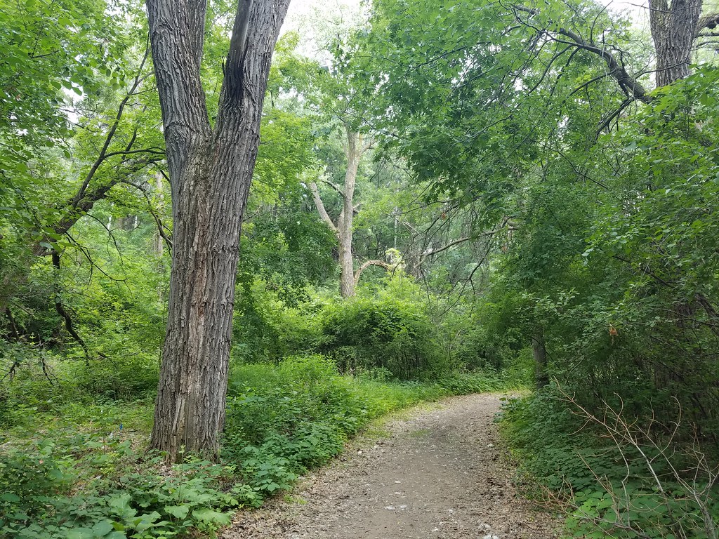 North RimHiking · ~1h 3m drivePhoto: Joe Passe, CC BY-SA 2.0 (via Flickr)
- Iat - Gandy Dancer SegmentHiking · ~8 min drive
- Iat - Mckenzie Creek SegmentHiking · ~37 min drive
- Big WheezyHiking · ~1h 4m drivePhoto: Joe Passe, CC BY-SA 2.0 (via Flickr)
- Cattail State TrailHiking · ~51 min drive
- Iat - Indian Creek SegmentHiking · ~46 min drive
- The HumpHiking · ~1h 4m drivePhoto: Joe Passe, CC BY-SA 2.0 (via Flickr)
- Iat - Timberland Hills SegmentHiking · ~52 min drive
- Iat - Sand Creek SegmentHiking · ~50 min drive
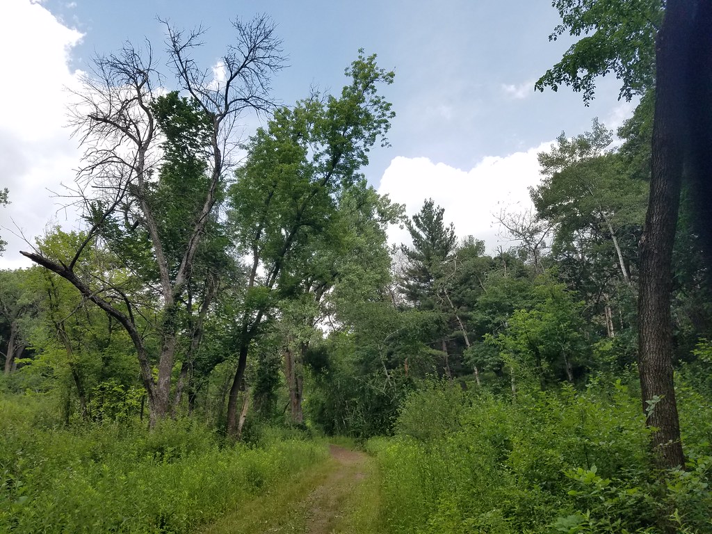 Freight TrainHiking · ~1h 4m drivePhoto: Joe Passe, CC BY-SA 2.0 (via Flickr)
Best time to visit Iat - Saint Croix Falls Segment
Best months: April–October. Best months have typical highs of 55–85 °F, lows of 30 °F or warmer (32 °F where the station doesn't record snow), at most one snowy day and no more than 12 wet days.
Jan
23° / 3°
6 wet · 5 snow
Feb
28° / 5°
5 wet · 4 snow
Mar
41° / 19°
6 wet · 2 snow
Apr
55° / 33°
8 wet · 1 snow
May
68° / 45°
10 wet
Jun
78° / 56°
11 wet
Jul
82° / 61°
10 wet
Aug
80° / 59°
9 wet
Sep
72° / 50°
9 wet
Oct
58° / 38°
9 wet
Nov
42° / 25°
6 wet · 2 snow
Dec
28° / 11°
6 wet · 4 snow
Typical high / low (°F) and days with rain or snow, 1991–2020. Measured at St Croix Falls, WI, 0.8 mi away at 750 ft. Source: NOAA NCEI U.S. Climate Normals 1991–2020.
Map and trail data © OpenStreetMap contributors
