Chief Logan State Park
 Photo: Brian M. Powell (user Bitmapped on en.wikipedia), CC BY-SA 3.0 (via Wikimedia Commons)
- State Department of Natural Resources
- managed by
- Sep–Nov
- best months
Clear today
Weather is good · OpenWeather · checked just now
Chief Logan State Park is a West Virginia state park managed by the State Department of Natural Resources, about 1.6 miles from the community of Justice Addition. It serves as a base for a cluster of short trails, with several routes starting within a mile of the park's center. Spring and fall are the most comfortable times to visit. Typical averages from the nearby Logan weather station show October highs around 70°F with lows near 47°F, and April highs around 71°F. July is the warmest month, with highs near 89°F. The Shawnee Trail is the closest option, about half a mile away, and the Fitness Trail and Coal Mine Trail are each roughly 0.7 miles off. Paddlers can find Copperas Mine Fork about 5.3 miles away.
Park size
3,318 acres
Inside this park
Campgrounds
- Shawnee TrailHiking0.5 mi
- Fitness TrailHiking0.7 mi
- Coal Mine TrailHiking0.7 mi
- Rattlesnake TrailHiking0.8 mi
- Woodpecker TrailHiking0.8 mi
- Copperas Mine ForkCanoeing5.3 mi
- Rum CreekCanoeing8.7 mi
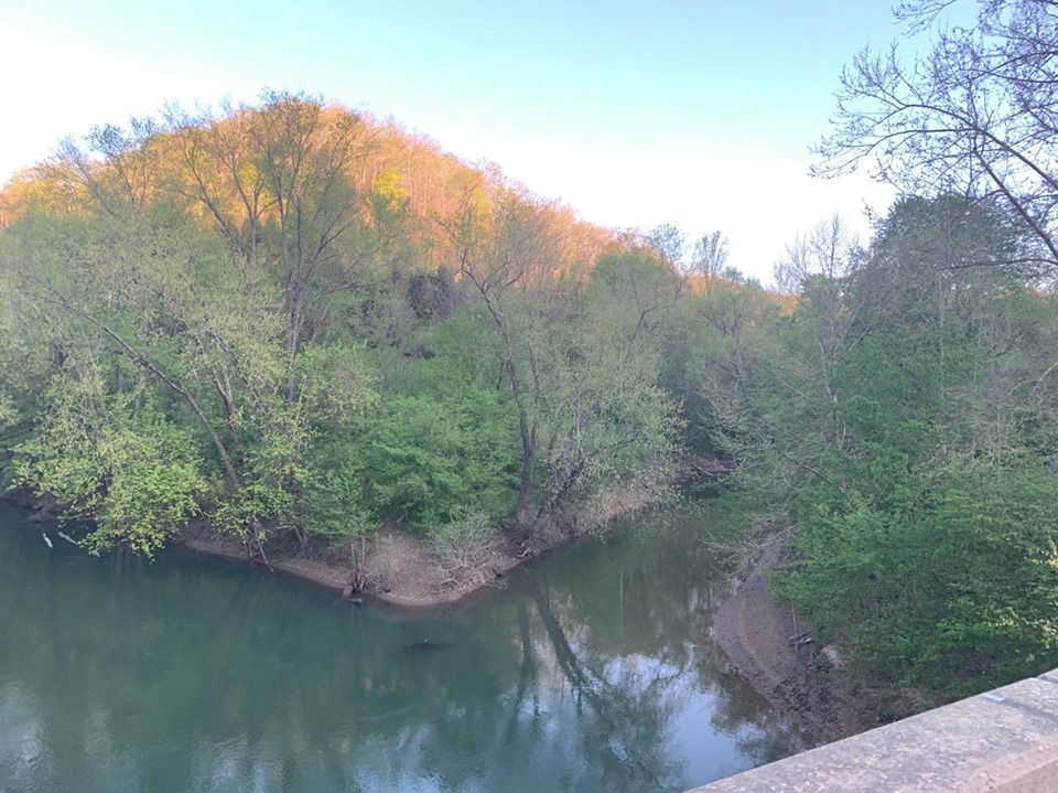 Big Harts CreekCanoeingPhoto: Brandon Ray Kirk, CC BY-SA 4.0 (via Wikimedia Commons)8.9 mi
Source: Roamze catalog (indexable pages within 10 miles, PostGIS distance)
 Twin Falls Resort State ParkState park · ~1h 3m drivePhoto: Brian M. Powell (user Bitmapped on en.wikipedia), CC BY-SA 3.0 (via Wikimedia Commons)
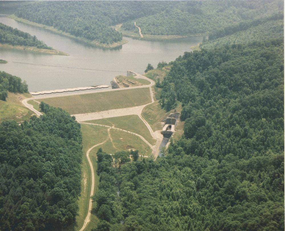 Yatesville Lake State ParkState park · ~1h 7m drivePhoto: U.S. Army Corps of Engineers, Huntington District, Public domain (via Wikimedia Commons)
 Jenny Wiley State Resort ParkState park · ~1h 11m drivePhoto: U.S. Army Corps of Engineers, photographer not specified or unknown, Public domain (via Wikimedia Commons)
 Breaks Interstate ParkState park · ~1h 17m drivePhoto: SheepNotGoats, CC BY-SA 3.0 (via Wikimedia Commons)
 Paintsville Lake State ParkState park · ~1h 20m drivePhoto: J654567, CC BY-SA 3.0 (via Wikimedia Commons)
- Breaks Interstate ParkState park · ~1h 17m drivePhoto: SheepNotGoats, CC BY-SA 3.0 (via Wikimedia Commons)
- Panther State ForestState park · ~55 min drive
- Ridenour LakeState park · ~1h 4m drive
- Barboursville ParkState park · ~1h 5m drive
- Kanawha Falls ParkState park · ~1h 21m drive
Best time to visit Chief Logan State Park
Best months: September–November. Best months have typical highs of 55–85 °F, lows of 30 °F or warmer (32 °F where the station doesn't record snow), at most one snowy day and no more than 12 wet days.
Jan
44° / 27°
14 wet
Feb
49° / 29°
13 wet
Mar
59° / 35°
14 wet
Apr
71° / 44°
13 wet
May
79° / 54°
14 wet
Jun
86° / 63°
13 wet
Jul
89° / 67°
13 wet
Aug
88° / 66°
11 wet
Sep
82° / 59°
10 wet
Oct
70° / 47°
11 wet
Nov
58° / 36°
11 wet
Dec
48° / 31°
14 wet
Typical high / low (°F) and days with rain or snow, 1991–2020. Measured at Logan, WV, 2.8 mi away at 672 ft. We don't have this place's elevation, so higher spots nearby can run cooler. This station doesn't record snowfall. Source: NOAA NCEI U.S. Climate Normals 1991–2020.
