Ridge Trail
- 1.0 mi
- loop
- 259 ft
- climb
- 1,078 ft
- high point
- Loop
- route
- Apr–Oct
- best months
Ridge Trail is a short, easy loop in Cacapon Resort State Park in West Virginia, managed by the State Department of Natural Resources. The trail is about a mile long, with a total elevation gain of 259 feet, and it reaches a high point of 1,078 feet. The climb is front-loaded, with the steepest stretch at about 0.64 miles in, where the grade reaches 13 percent. The trail starts at roughly 911 feet and returns to a similar elevation, so it works well as a quick outing or a warm-up before exploring more of the park. Late spring and early fall are the most comfortable times to go. Typical averages from a nearby weather station show May highs around 73°F and September highs around 77°F, with October cooling to about 66°F. The station sits a little lower than the trail, so temperatures on the ridge run slightly cooler. The trail takes about half an hour to complete. Nearby, the Laurel & Ziler Trail and the Middle Fork Trail are both within a mile, and the Ziler Loop Trail is about 1.3 miles away. For time on the water, Sleepy Creek offers canoeing about 1.8 miles off.
- Laurel & Ziler TrailHiking0.8 mi
- Middle Fork TrailHiking0.9 mi
- Central TrailHiking1.1 mi
- Ziler Loop TrailHiking1.3 mi
- Ziler Loop & Central TrailHiking1.3 mi
- Sleepy CreekCanoeing1.8 mi
- Cacapon RiverRiver fishing4.5 mi
- Potomac RiverRiver fishing8.7 mi
Source: Roamze catalog (indexable pages within 10 miles, PostGIS distance)
 Chesapeake and Ohio Canal TrailHiking · ~13 min drivePhoto: John B. from Highland Park, NJ, United States, CC BY 2.0 (via Wikimedia Commons)
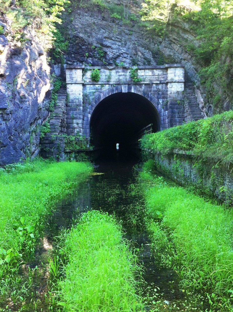 Chesapeake and Ohio Canal TrailHiking · ~16 min drivePhoto: randomduck, CC BY-SA 2.0 (via Flickr)
- Sleepy Creek Mountain Trail (partial)Hiking · ~14 min drive
- Chesapeake and Ohio Canal TrailHiking · ~17 min drive
- Paw Paw Tunnel Hill TrailHiking · ~16 min drivePhoto: randomduck, CC BY-SA 2.0 (via Flickr)
- Laurel & Ziler TrailHiking · ~1 min drive
- Chesapeake and Ohio Canal TrailHiking · ~15 min drive
- Great Eastern Trail - Green Ridge State ForestHiking · ~18 min drive
 Chesapeake and Ohio Canal TrailHiking · ~18 min drivePhoto: Fredlyfish4, CC BY-SA 4.0 (via Wikimedia Commons)
- Middle Fork TrailHiking · ~1 min drive
Best time to visit Ridge Trail
Best months: April–October. Best months have typical highs of 55–85 °F, lows of 30 °F or warmer (32 °F where the station doesn't record snow), at most one snowy day and no more than 12 wet days.
Jan
40° / 21°
7 wet
Feb
43° / 23°
6 wet
Mar
52° / 30°
8 wet
Apr
64° / 40°
10 wet
May
73° / 49°
11 wet
Jun
81° / 58°
10 wet
Jul
85° / 62°
9 wet
Aug
83° / 60°
9 wet
Sep
77° / 53°
8 wet
Oct
66° / 42°
7 wet
Nov
54° / 32°
6 wet
Dec
44° / 25°
7 wet
Typical high / low (°F) and days with rain or snow, 1991–2020. Measured at Cacapon St Pk #2, WV, 0.7 mi away at 958 ft. This station doesn't record snowfall. Source: NOAA NCEI U.S. Climate Normals 1991–2020.

Map and trail data © OpenStreetMap contributors
