Lake Sherwood #601
- 6.3 mi
- loop
- 35 ft
- climb
- 2,700 ft
- high point
- Loop
- route
- Apr, Jun–Oct
- best months
Is Lake Sherwood #601 open right now?
Closure in the area
There's a closure order in Monongahela National Forest. It doesn't name Lake Sherwood #601, so check the source for the area it covers.
NFS Road 76 Road Closure for Public Health and Safety
Agency closure covering Monongahela National Forest · USFS · Monongahela National Forest
National Forest System Road 86 Closure for Public Health and Safety
Agency alert covering Monongahela National Forest · USFS · Monongahela National Forest
As of · Source: USFS · Monongahela National Forest. Agencies don't list every closure — check before you go.
Lake Sherwood #601 is a Forest Service trail in the White Sulphur Ranger District of Monongahela National Forest in West Virginia, about 6 miles from the town of Lake Sherwood. The route is rated hard, and the climb is minimal, with a total gain of 35 feet over about 6 miles from a low point of 2,657 feet to a high of 2,700 feet. The trail is natural-surface and bikes are allowed, but it is not an accessible route. Summer is the most comfortable time to go. Typical averages from a nearby weather station at Gathright Dam, Virginia, show July highs around 82°F with lows near 62°F, though that station sits roughly 900 feet lower than the trail, so temperatures on the route run cooler. Lake Sherwood campground and Cales Knoll Camping Area are both about 0.1 mile away. The Virginia Trail #685 is half a mile off, and the Upper Meadow Trail #672 is about a mile away.
- Lake SherwoodCamping0.1 mi
- Cales Knoll Camping AreaCamping0.1 mi
- Virginia Trail #685Hiking0.5 mi
- Upper Meadow Trail # 672Hiking1 mi
- Bolar LoopHiking1.9 mi
- Meadow Creek Trail # 684Hiking2.2 mi
- McClintic PointCamping2.8 mi
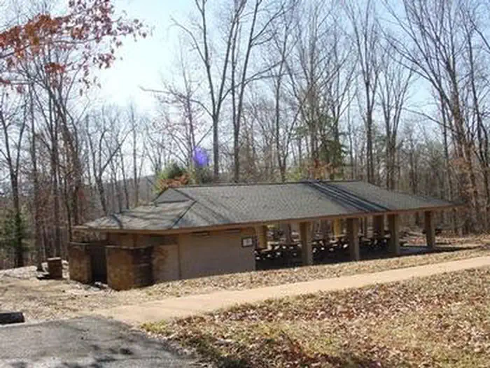 Coles PointLake fishing4.7 mi
Source: Roamze catalog (indexable pages within 10 miles, PostGIS distance)
- Virginia Trail #685Hiking · Next door
- Meadow Creek Trail # 684Hiking · ~4 min drive
- Allegheny Mountain Trail #611Hiking · ~5 min drive
- Jackson River Scenic TrailHiking · ~15 min drive
- Upper Meadow Trail # 672Hiking · ~2 min drive
- RoadsideHiking · ~4 min drive
- Meadow Mountain #610Hiking · ~5 min drive
- Bolar LoopHiking · ~3 min drive
- Sugar HollowHiking · ~4 min drive
- Coles Mountain Fire TrailHiking · ~8 min drive
Best time to visit Lake Sherwood #601
Best months: April and June–October. Best months have typical highs of 55–85 °F, lows of 30 °F or warmer (32 °F where the station doesn't record snow), at most one snowy day and no more than 12 wet days.
Jan
41° / 23°
10 wet · 3 snow
Feb
45° / 24°
9 wet · 3 snow
Mar
53° / 31°
11 wet · 1 snow
Apr
65° / 40°
12 wet
May
72° / 49°
14 wet
Jun
79° / 58°
12 wet
Jul
82° / 62°
12 wet
Aug
81° / 61°
11 wet
Sep
75° / 54°
9 wet
Oct
65° / 42°
9 wet
Nov
54° / 32°
8 wet
Dec
44° / 26°
10 wet · 2 snow
Typical high / low (°F) and days with rain or snow, 1991–2020. Measured at Gathright Dam, VA, 5.2 mi away at 1,770 ft. The station sits about 900 ft lower than this place, so expect it a little cooler here. Source: NOAA NCEI U.S. Climate Normals 1991–2020.
