Horseshoe Trail
- 1.1 mi
- loop
- 338 ft
- climb
- 2,966 ft
- high point
- Loop
- route
- Aug–Oct
- best months
Caution at last check
Agency alerts are in effect for this area; weather is good · USFS, OpenWeather · checked 15 h ago
Is Horseshoe Trail open right now?
Closure in the area
There's a closure order in Monongahela National Forest. It doesn't name Horseshoe Trail, so check the source for the area it covers.
NFS Road 76 Road Closure for Public Health and Safety
Agency closure covering Monongahela National Forest · USFS · Monongahela National Forest
National Forest System Road 86 Closure for Public Health and Safety
Agency alert covering Monongahela National Forest · USFS · Monongahela National Forest
As of · Source: USFS · Monongahela National Forest. Agencies don't list every closure — check before you go.
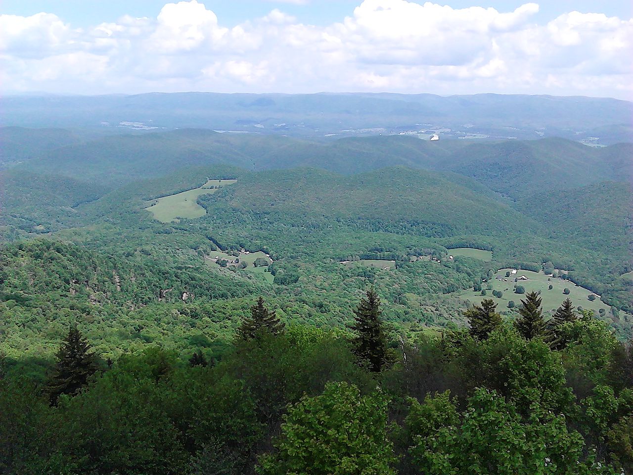
Horseshoe Trail is a short, easy hike in West Virginia, about a mile long and with a total elevation gain of 338 feet. It sits in the Marlinton Ranger District of Monongahela National Forest, within Seneca State Forest, and is managed by the State Department of Natural Resources. The trail starts at about 2,785 feet and reaches a high point of 2,966 feet, with the steepest stretch at roughly 0.94 miles in, where the grade reaches about 14 percent. Summer and early fall are the most comfortable times to go. Typical averages from a nearby weather station show July and August highs around 78°F with lows in the mid-50s, and September highs near 73°F with the fewest wet days of the year. The hike takes about half an hour, and the trail is close to several other routes. Great Laurel Trail starts just 0.1 mile away, and Little Jim Trail is about 0.4 mile off. Fire Tower Trail and Little Mountain Trail are each about 0.7 mile away.
- Great Laurel TrailHiking0.1 mi
- Little Jim TrailHiking0.4 mi
- Fire Tower TrailHiking0.7 mi
- Little Mountain TrailHiking0.7 mi
- Hill Top TrailHiking0.8 mi
- Rich Patch Loop TrailHiking0.9 mi
- Thorny Creek TrailHiking1 mi
- Sitlington CreekCanoeing4.5 mi
Source: Roamze catalog (indexable pages within 10 miles, PostGIS distance)
- Great Laurel TrailHiking · Next door
- Thorny Creek TrailHiking · ~2 min drive
- Allegheny Trail - Section 3Hiking · ~2 min drive
- Fire Tower TrailHiking · ~14 min drive
- Little Jim TrailHiking · Next door
- Greenbrier River TrailHiking · ~8 min drive
- Marlin Mountain Trail # 418Hiking · ~15 min drive
- Fire Tower TrailHiking · ~1 min drive
- Cheat Mountain Ridge TrailHiking · ~15 min drive
- HostermanHiking · ~20 min drive
Best time to visit Horseshoe Trail
Best months: August–October. Best months have typical highs of 55–85 °F, lows of 30 °F or warmer (32 °F where the station doesn't record snow), at most one snowy day and no more than 12 wet days.
Jan
37° / 17°
14 wet
Feb
41° / 18°
12 wet
Mar
49° / 26°
13 wet
Apr
61° / 34°
14 wet
May
69° / 44°
15 wet
Jun
75° / 52°
13 wet
Jul
78° / 56°
13 wet
Aug
78° / 55°
12 wet
Sep
73° / 48°
9 wet
Oct
63° / 37°
11 wet
Nov
52° / 28°
11 wet
Dec
42° / 21°
13 wet
Typical high / low (°F) and days with rain or snow, 1991–2020. Measured at Frost 3ne, WV, 6 mi away at 2,905 ft. This station doesn't record snowfall. Source: NOAA NCEI U.S. Climate Normals 1991–2020.
Map and trail data © OpenStreetMap contributors
