Chesapeake and Ohio Canal Trail
- 6.3 mi
- round trip
- 1,483 ft
- climb
- 470 ft
- high point
- Out and back
- route
- Apr–Jun, Sep–Nov
- best months
Is Chesapeake and Ohio Canal Trail open right now?
Closure in the area
There's a closure order in Chesapeake and Ohio Canal National Historical Park. It doesn't name Chesapeake and Ohio Canal Trail, so check the source for the area it covers.
Closures: Detours; Towpath; Points of Interest
Park closure covering Chesapeake and Ohio Canal National Historical Park · NPS · Chesapeake and Ohio Canal National Historical Park
Hiking in Gold Mine Tract
Park alert covering Chesapeake and Ohio Canal National Historical Park · NPS · Chesapeake and Ohio Canal National Historical Park
DC Water Sewer Overflow
Park alert covering Chesapeake and Ohio Canal National Historical Park · NPS · Chesapeake and Ohio Canal National Historical Park
As of · Source: NPS · Chesapeake and Ohio Canal National Historical Park. Agencies don't list every closure — check before you go.
The Chesapeake and Ohio Canal Trail is a 12.5-mile out-and-back route in West Virginia's Chesapeake and Ohio Canal National Historical Park, managed by the National Park Service. The trail rises steadily from a low of about 331 feet to a high of 470 feet, with a total climb of 1,483 feet over the round trip. The steepest stretch comes at about 3.2 miles, where the grade reaches 17 percent. For timing, late spring and early fall are the most comfortable. Typical averages from a nearby weather station in Martinsburg show May highs around 75°F and September highs near 79°F, while July averages about 87°F. The trip takes about five hours. Spring Mills Community Walking Trail is about 2.6 miles away, and Cornfield Trail and Beaver Pond Trail are each roughly 8 miles off. Shepherdstown Crag, a climbing area, is about 8.6 miles away.
Local outfitters
- Gettysburg Licensed Town Guides39 mi away
Not on Roamze yet. Their page has how to reach them.
- Spring Mills Community Walking TrailHiking2.6 mi
 Cornfield TrailHikingPhoto: Ken Lund from Las Vegas, Nevada, USA, CC BY-SA 2.0 (via Wikimedia Commons)8 mi
- Beaver Pond TrailHiking8.2 mi
- Shepherdstown CragRock climbing8.6 mi
- Rohrbach Group CampgroundCamping8.6 mi
- Pillar 2 (Shepherdstown Pillar)Rock climbing8.9 mi
Source: Roamze catalog (indexable pages within 10 miles, PostGIS distance)
 Chesapeake and Ohio Canal TrailHiking · ~4 min drivePhoto: Maryland Historical Society., Public domain (via Wikimedia Commons)
 Chesapeake and Ohio Canal TrailHiking · ~7 min drivePhoto: C&O Canal NHP, CC BY-SA 2.0 (via Wikimedia Commons)
- Chesapeake and Ohio Canal TrailHiking · ~8 min drivePhoto: Maryland Historical Society., Public domain (via Wikimedia Commons)
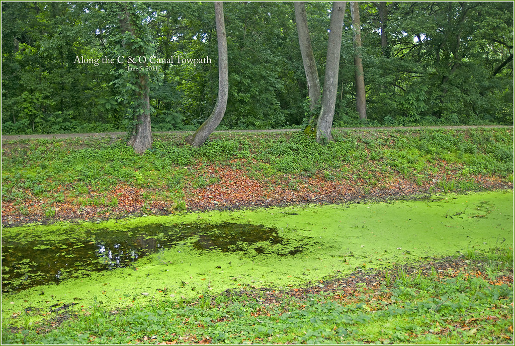 Chesapeake and Ohio Canal TrailHiking · ~19 min drivePhoto: Ron Cogswell, CC BY 2.0 (via Flickr)
 Chesapeake and Ohio Canal TrailHiking · ~8 min drivePhoto: National Park Service, US GOvernment, Public domain (via Wikimedia Commons)
- Cornfield TrailHiking · ~14 min drivePhoto: Ken Lund from Las Vegas, Nevada, USA, CC BY-SA 2.0 (via Wikimedia Commons)
- Tuscarora TrailHiking · ~24 min drive
- Chesapeake and Ohio Canal TrailHiking · ~8 min drivePhoto: C&O Canal NHP, CC BY-SA 2.0 (via Wikimedia Commons)
 Cornfield TrailHiking · ~14 min drivePhoto: Ken Lund from Las Vegas, Nevada, USA, CC BY-SA 2.0 (via Wikimedia Commons)
- Chesapeake and Ohio Canal TrailHiking · ~21 min drive
Best time to visit Chesapeake and Ohio Canal Trail
Best months: April–June and September–November. Best months have typical highs of 55–85 °F, lows of 30 °F or warmer (32 °F where the station doesn't record snow), at most one snowy day and no more than 12 wet days.
Jan
42° / 23°
8 wet
Feb
45° / 23°
7 wet
Mar
53° / 30°
8 wet
Apr
66° / 40°
11 wet
May
75° / 51°
12 wet
Jun
83° / 60°
10 wet
Jul
87° / 64°
10 wet
Aug
86° / 62°
10 wet
Sep
79° / 54°
9 wet
Oct
67° / 43°
9 wet
Nov
56° / 33°
7 wet
Dec
45° / 27°
8 wet
Typical high / low (°F) and days with rain or snow, 1991–2020. Measured at Martinsburg 2, WV, 7.5 mi away at 460 ft. This station doesn't record snowfall. Source: NOAA NCEI U.S. Climate Normals 1991–2020.

Map and trail data © OpenStreetMap contributors
