Big Branch Trail
- 3.6 mi
- loop
- 525 ft
- climb
- 1,865 ft
- high point
- Loop
- route
- Mar–Apr, Jul–Nov
- best months
Is Big Branch Trail open right now?
No closures listed
The National Park Service lists no closures for New River Gorge National Park and Preserve.
As of · Source: NPS · New River Gorge National Park and Preserve. Agencies don't list every closure — check before you go.
Big Branch Trail is a 3.6-mile loop in New River Gorge National Park and Preserve in West Virginia, managed by the National Park Service. The trail starts at the Big Branch Trailhead and climbs to a high point of 1,865 feet, with a total elevation gain of 525 feet. The route is rated easy, and the steepest stretch comes at about 1.6 miles in, where the grade reaches 29 percent. The most comfortable months for a visit are typically September and October, when typical averages from the nearby Bluestone Lake weather station run from highs around 79°F in September to about 68°F in October, with fewer wet days than in spring. That station sits roughly 475 feet lower than the trail's high point, so temperatures on the higher ground run cooler. The trail makes an easy pairing with other hikes in the park. Gwinn Ridge Trail is about 2.2 miles away, and Island Loop Trail and Sandstone Falls Boardwalk are each about 3 miles off. For an overnight stay, Bluestone Lake Picnic Shelter is about 5.8 miles away.
 Gwinn Ridge TrailHikingPhoto: Lee Paxton, CC BY-SA 4.0 (via Wikimedia Commons)2.2 mi
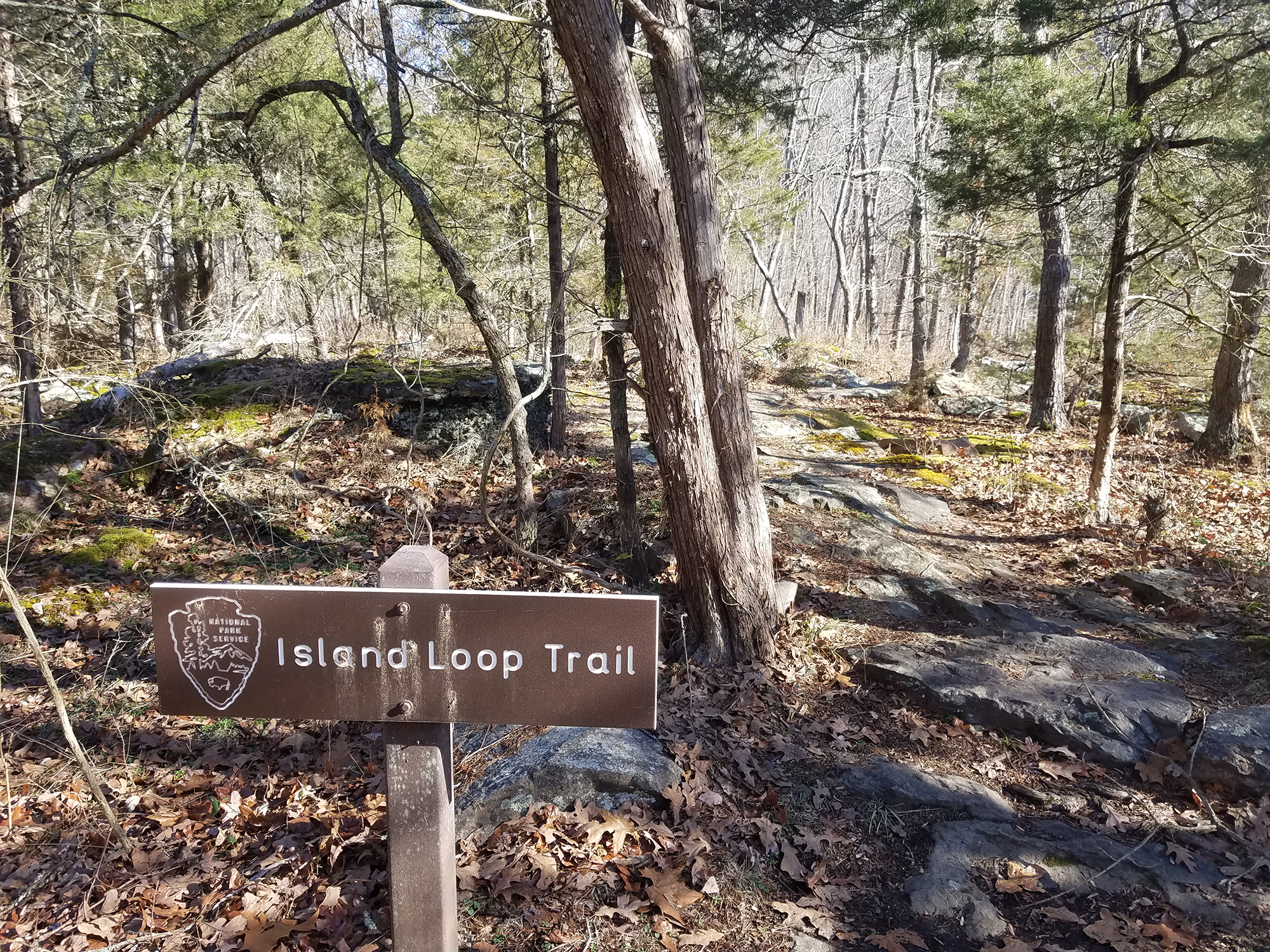 Island Loop TrailHikingPhoto: NPS/Dave Bieri3 mi
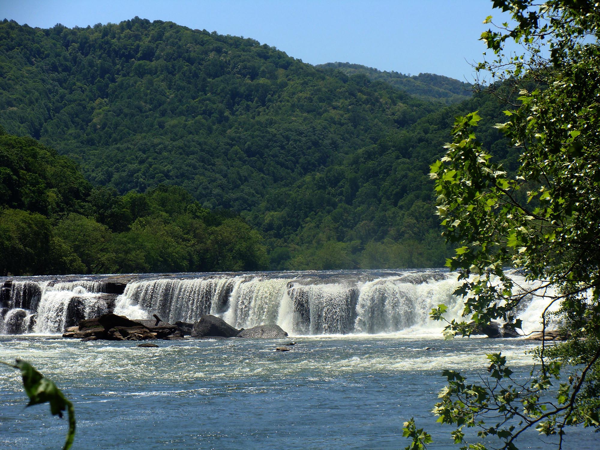 Sandstone Falls BoardwalkHikingPhoto: NPS/Dave Bieri3 mi
- Bluestone Lake Picnic ShelterCamping5.8 mi
- Lick CreekCanoeing6.3 mi
 Mary Ingles TrailHikingPhoto: Usa50xx, Public domain (via Wikimedia Commons)7.1 mi
- Eagle Point TrailHiking7.1 mi
 Glade CreekCanoeingPhoto: Brian M. Powell (user Bitmapped on en.wikipedia), CC BY-SA 3.0 (via Wikimedia Commons)8.8 mi
Source: Roamze catalog (indexable pages within 10 miles, PostGIS distance)
- Gwinn Ridge TrailHiking · ~4 min drivePhoto: Lee Paxton, CC BY-SA 4.0 (via Wikimedia Commons)
- Island Loop TrailHiking · ~5 min drive
- Glade Creek TrailHiking · ~17 min drive
- Sandstone Falls BoardwalkHiking · ~5 min drive
- Polls Plateau TrailHiking · ~13 min drive
- Mary Ingles TrailHiking · ~12 min drivePhoto: Usa50xx, Public domain (via Wikimedia Commons)
- Glade Creek TrailHiking · ~15 min drive
- Cabin TrailHiking · ~13 min drivePhoto: Usa50xx, Public domain (via Wikimedia Commons)
- Bluestone Turnpike TrailHiking · ~17 min drive
- Kates Plateau TrailHiking · ~13 min drive
Best time to visit Big Branch Trail
Best months: March–April and July–November. Best months have typical highs of 55–85 °F, lows of 30 °F or warmer (32 °F where the station doesn't record snow), at most one snowy day and no more than 12 wet days.
Jan
42° / 25°
11 wet · 3 snow
Feb
46° / 27°
11 wet · 3 snow
Mar
56° / 33°
12 wet · 1 snow
Apr
68° / 42°
12 wet
May
76° / 51°
14 wet
Jun
82° / 60°
13 wet
Jul
85° / 64°
12 wet
Aug
84° / 64°
11 wet
Sep
79° / 57°
8 wet
Oct
68° / 45°
8 wet
Nov
56° / 34°
9 wet
Dec
45° / 29°
11 wet · 1 snow
Typical high / low (°F) and days with rain or snow, 1991–2020. Measured at Bluestone Lake, WV, 5.2 mi away at 1,390 ft. Source: NOAA NCEI U.S. Climate Normals 1991–2020.
Map and trail data © OpenStreetMap contributors
