Victor Falls
- 380 ft
- elevation
- City Land
- managed by
- Jun–Sep
- best months
Victor Falls is a waterfall in Washington, set within Victor Falls Park on city land about 2 miles from the town of Prairie Ridge. The falls sit at an elevation of 380 feet, and the park makes an easy base for a short outing close to town. Summer is the most comfortable time to visit. Typical averages from a nearby weather station show July and August highs around 76°F with only about five wet days a month, while winter months bring highs in the mid-40s and rain on roughly 20 days. Several short trails start within a mile or so of the falls. Fennel Creek Trail is about 0.4 miles away and Victor Falls Elementary School Trail about 0.6 miles. Overlook Trail is roughly 1.2 miles off, and Wilkeson Crag, a climbing area, lies about 8 miles away.
- Elevation
- 380 ft
- Land manager
- City Land
Elevation from USGS 3D Elevation Program terrain data (about 10 m resolution).
- Fennel Creek TrailHiking0.4 mi
- Victor Falls Elementary School TrailHiking0.6 mi
- Overlook TrailHiking1.2 mi
 Observation TrailHikingPhoto: Kathy Calm, CC BY 3.0 (via Wikimedia Commons)2 mi
- Connector TrailHiking2.1 mi
- Wilkeson cragRock climbing8.3 mi
- Wilkeson CreekCanoeing8.4 mi
- South Prairie CreekCanoeing8.9 mi
Source: Roamze catalog (indexable pages within 10 miles, PostGIS distance)
 Chenuis FallsWaterfall · ~33 min drivePhoto: NPS Photo, Public domain (via Wikimedia Commons)
 Spray FallsWaterfall · ~39 min drivePhoto: Joanna Poe from Munith, MI, USA, CC BY-SA 2.0 (via Wikimedia Commons)
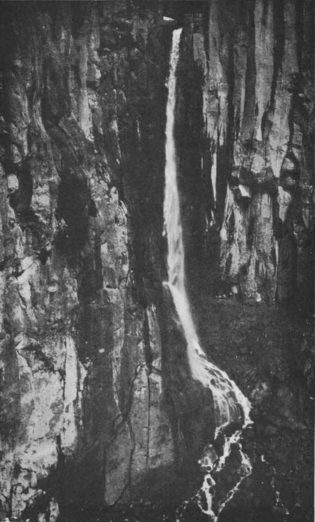 Pearl FallsWaterfall · ~52 min drivePhoto: National Park Service, Public domain (via Wikimedia Commons)
 Twin FallsWaterfall · ~53 min drivePhoto: KimonBerlin, CC BY-SA 2.0 (via Wikimedia Commons)
 Comet FallsWaterfall · ~53 min drivePhoto: J Brew, CC BY-SA 2.0 (via Wikimedia Commons)
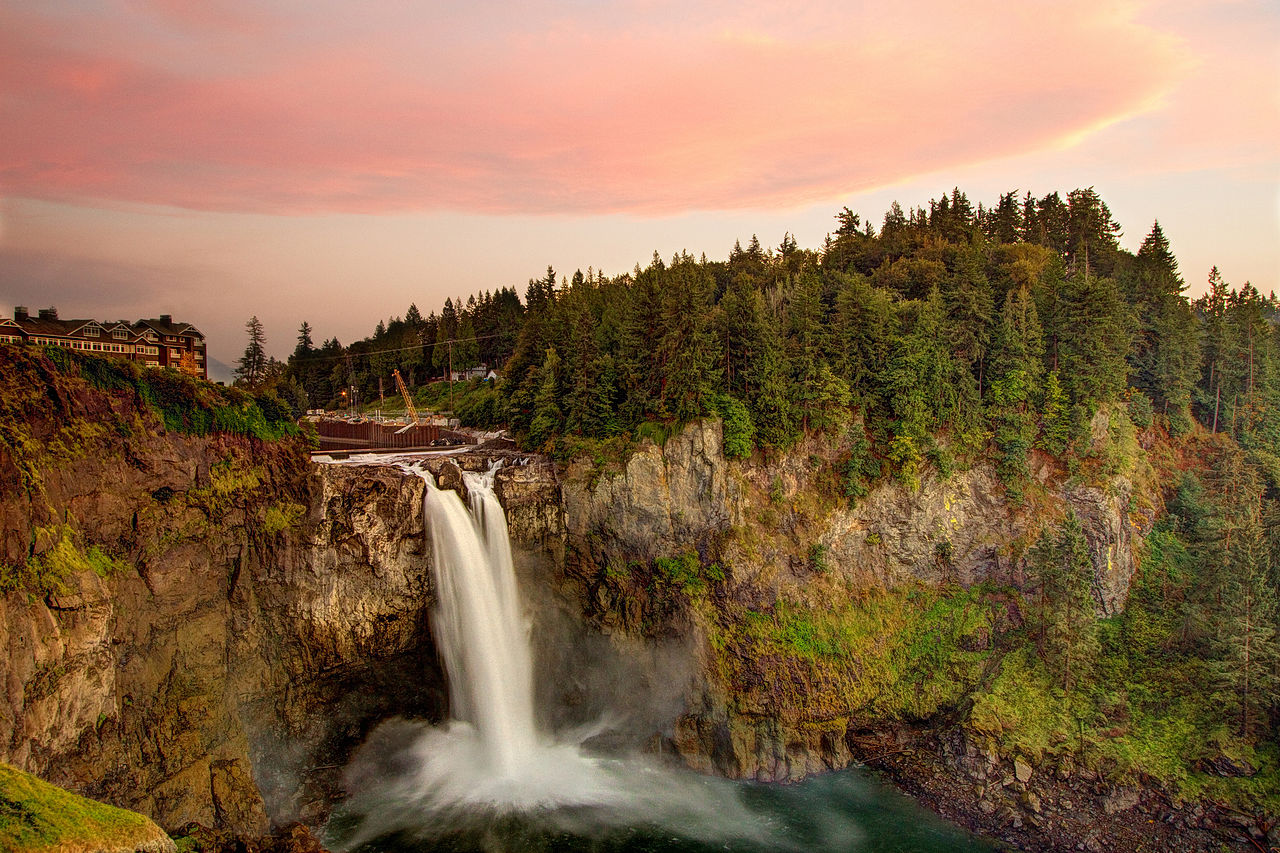 Snoqualmie FallsWaterfall · ~54 min drivePhoto: Meher Anand Kasam, CC BY-SA 3.0 (via Wikimedia Commons)
 Christine FallsWaterfall · ~55 min drivePhoto: Doss Imaging, CC BY 3.0 (via Wikimedia Commons)
 Carter FallsWaterfall · ~57 min drivePhoto: NPS Photo, Public domain (via Wikimedia Commons)
 Narada FallsWaterfall · ~57 min drivePhoto: Mr.Z-man, CC BY-SA 3.0 (via Wikimedia Commons)
- Wildcat FallsWaterfall · ~32 min drive
Best time to visit Victor Falls
Best months: June–September. Best months have typical highs of 55–85 °F, lows of 30 °F or warmer (32 °F where the station doesn't record snow), at most one snowy day and no more than 12 wet days.
Jan
46° / 33°
20 wet
Feb
48° / 33°
16 wet
Mar
52° / 36°
19 wet
Apr
57° / 39°
16 wet
May
64° / 45°
13 wet
Jun
69° / 49°
10 wet
Jul
76° / 52°
5 wet
Aug
76° / 53°
5 wet
Sep
70° / 48°
8 wet
Oct
59° / 42°
14 wet
Nov
50° / 36°
19 wet
Dec
45° / 33°
20 wet
Typical high / low (°F) and days with rain or snow, 1991–2020. Measured at Mcmillin Rsvr, WA, 3.4 mi away at 579 ft. This station doesn't record snowfall. Source: NOAA NCEI U.S. Climate Normals 1991–2020.
