Snowshoe Falls
About
Snowshoe Falls is a waterfall in Washington's Alpine Lakes Wilderness, within the Snoqualmie Ranger District of Mt. Baker-Snoqualmie National Forest. The Forest Service manages the land, and the nearest town is Snoqualmie Pass, about 3 miles away. The falls sit at roughly 3,570 feet. Summer is the most comfortable time to visit. Typical averages from the nearby Stampede Pass weather station show July and August highs around 68 to 69°F, with only seven or eight wet days a month, while winter months bring highs near freezing and rain on most days. Several other spots lie close by. The Tooth climbing area and the Summer-Fall rock area are each under a mile away, and the Denny Creek Trail starts about a mile off. Denny Creek Campground, about 1.6 miles away, offers a place to stay.
Waterfall Facts
Elevation
3,573 ft
Land manager
Forest Service
Elevation from USGS 3D Elevation Program terrain data (about 10 m resolution).
Location
Snowshoe Falls
Washington
Name and location: U.S. Geological Survey, Geographic Names Information System (GNIS). Elevation: USGS 3D Elevation Program. View the GNIS record.
Facts about this place
When to go
Best time to go: Jun–Sep. The mildest months here, with typical highs of 60–69°F and lows of 43–51°F.
Typical monthly averages (not a forecast) from the Stampede Pass, WA weather station, 12 mi away. High / low in °F.
- Jan32° high25° low
- Feb35° high26° low
- Mar40° high29° low
- Apr46° high33° low
- May53° high38° low
- Jun60° high43° low
- Jul68° high50° low
- Aug69° high51° low
- Sep63° high47° low
- Oct49° high38° low
- Nov38° high30° low
- Dec32° high24° low
Where it is
- Alpine Lakes Wilderness · Wilderness
- Snoqualmie Ranger District · Ranger district
- Mt. Baker-Snoqualmie National Forest · National forest
- Nearest town
- Snoqualmie Pass, Washington · 3.1 mi
- Managed by
- Forest Service
Source: Wilderness.net boundaries; USFS EDW boundaries; USGS PAD-US 4.1; USGS GNIS populated places
Conditions
Active alerts for Snoqualmie Ranger District as of Oct 9, 2026:
Road Damages/Closures - Snoqualmie District - Enumclaw Area
information · posted Aug 24, 2026
critical · posted Aug 24, 2026
Motorized Use Restriction on the Cle Elum Ranger District
information · posted Aug 24, 2026
Source: USFS forest alerts
Nearby
 The ToothRock climbingPhoto: Wilderness trespasser, CC BY-SA 4.0 (via Wikimedia Commons)0.8 mi
- Summer-Fall (rock)Rock climbing0.8 mi
- DENNY CREEKHiking0.9 mi
- South Fork Snoqualmie RiverCanoeing1.1 mi
- Denny Creek TrailHiking1.2 mi
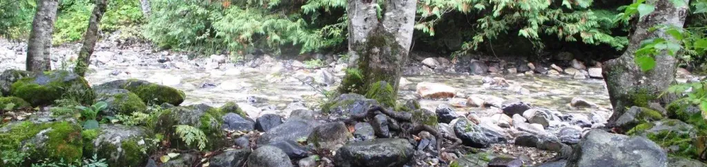 Denny Creek CampgroundCampingPhoto: Recreation.gov (RIDB) / public domain1.6 mi
- Gold CreekCanoeing4.7 mi
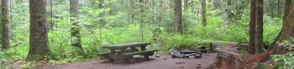 Tinkham CampgroundCampingPhoto: Recreation.gov (RIDB) / public domain5.7 mi
Source: Roamze catalog (indexable pages within 10 miles, PostGIS distance)
Is Snowshoe Falls open right now?
Closure in the area
There's a closure order in Mt. Baker-Snoqualmie National Forest. It doesn't name Snowshoe Falls, so check the source for the area it covers (3 listed).
Grand Park 2 Fire Closure Update
Agency closure covering Mt. Baker-Snoqualmie National Forest · Order 06-05-26-16 · USFS · Mt. Baker-Snoqualmie National Forest
Grand Park 2 Fire Closure
Agency closure covering Snoqualmie Ranger District · Order 06-05-26-13 · USFS · Snoqualmie Ranger District
Bell Creek Bridge Damaged
Agency closure covering Mt. Baker-Snoqualmie National Forest · USFS · Mt. Baker-Snoqualmie National Forest
Rescission of Shooting Restrictions
Agency alert covering Mt. Baker-Snoqualmie National Forest · USFS · Mt. Baker-Snoqualmie National Forest
Electric Fire Closure Order
Agency alert covering Mt. Baker-Snoqualmie National Forest · Order 06-05-26-19 · USFS · Mt. Baker-Snoqualmie National Forest
As of · Source: USFS · Mt. Baker-Snoqualmie National Forest. Agencies don't list every closure — check before you go.
Best time to visit Snowshoe Falls
Best months: July–September. Best months have typical highs of 55–85 °F, lows of 30 °F or warmer (32 °F where the station doesn't record snow), at most one snowy day and no more than 12 wet days.
Jan
32° / 25°
20 wet
Feb
35° / 26°
17 wet
Mar
40° / 29°
20 wet
Apr
46° / 33°
19 wet
May
53° / 38°
17 wet
Jun
60° / 43°
14 wet
Jul
68° / 50°
8 wet
Aug
69° / 51°
7 wet
Sep
63° / 47°
10 wet
Oct
49° / 38°
16 wet
Nov
38° / 30°
19 wet
Dec
32° / 24°
20 wet
Typical high / low (°F) and days with rain or snow, 1991–2020. Measured at Stampede Pass, WA, 12.2 mi away at 3,959 ft. This station doesn't record snowfall. Source: NOAA NCEI U.S. Climate Normals 1991–2020.
Closures we've recorded since August 2026
Campfire Ban in Effect Forest-wide
Mt. Baker-Snoqualmie National Forest · Order dated July 21, 2026; seen Aug 23, 2026 → lifted Sep 15, 2026 · Forest Service
