Mountain Meadows
Campground
Campground · 2.2 mi from the trail
McCauley Falls is a waterfall in Washington, about 2.2 miles from the town of Duvall. It sits at an elevation of 347 feet, and its location close to town makes it an easy stop for anyone already exploring the area around Duvall. Summer is the most comfortable time to visit. Typical averages from a nearby weather station in Monroe show July and August highs in the mid-70s with only six or seven wet days a month, while winter brings highs in the low 40s and rain on most days. Several other outdoor spots lie within a few miles. Cherry Creek, a canoeing route, is about 2.4 miles away, and the Cherry Creek Falls Trail is about 2.9 miles off. Little Ridge and the Creekside Trail are both within about 3.3 miles.
Mountain Meadows
Campground
Camlann Medieval Village
Museum
British living museum in US
Places © OpenStreetMap contributors
More in Gold BarElevation from USGS 3D Elevation Program terrain data (about 10 m resolution).
 Bear CreekCanoeingPhoto: Brianhe, CC BY-SA 4.0 (via Wikimedia Commons)7.1 mi
Source: Roamze catalog (indexable pages within 10 miles, PostGIS distance)
 Wallace FallsWaterfall · ~27 min drivePhoto: Vineesh Devasia, CC BY 2.0 (via Wikimedia Commons)
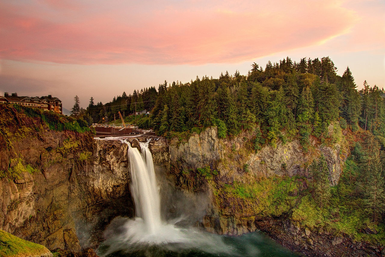 Snoqualmie FallsWaterfall · ~28 min drivePhoto: Meher Anand Kasam, CC BY-SA 3.0 (via Wikimedia Commons)
 Bridal Veil FallsWaterfall · ~31 min drivePhoto: Steven Pavlov, CC BY-SA 4.0 (via Wikimedia Commons)
 Sunset FallsWaterfall · ~33 min drivePhoto: Loco Steve, CC BY 3.0 (via Wikimedia Commons)
 Canyon FallsWaterfall · ~34 min drivePhoto: Lee Pickett, Public domain (via Wikimedia Commons)
 Eagle FallsWaterfall · ~35 min drivePhoto: Lee Pickett, Public domain (via Wikimedia Commons)
 Twin FallsWaterfall · ~43 min drivePhoto: KimonBerlin, CC BY-SA 2.0 (via Wikimedia Commons)
 Otter FallsWaterfall · ~44 min drivePhoto: Nettrom, CC BY-SA 4.0 (via Wikimedia Commons)
 Franklin FallsWaterfall · ~58 min drivePhoto: Steven Pavlov, CC BY-SA 4.0 (via Wikimedia Commons)
 Deception FallsWaterfall · ~1h 1m drivePhoto: Jonathan Miske from United States, CC BY-SA 2.0 (via Wikimedia Commons)
Best months: June–September. Best months have typical highs of 55–85 °F, lows of 30 °F or warmer (32 °F where the station doesn't record snow), at most one snowy day and no more than 12 wet days.
Jan
44° / 32°
20 wet · 1 snow
Feb
48° / 32°
18 wet
Mar
52° / 35°
20 wet
Apr
57° / 39°
17 wet
May
64° / 44°
15 wet
Jun
68° / 49°
12 wet
Jul
74° / 52°
7 wet
Aug
75° / 51°
6 wet
Sep
69° / 48°
11 wet
Oct
58° / 41°
18 wet
Nov
48° / 35°
21 wet
Dec
43° / 31°
22 wet · 1 snow
Typical high / low (°F) and days with rain or snow, 1991–2020. Measured at Monroe, WA, 5.9 mi away at 120 ft. Source: NOAA NCEI U.S. Climate Normals 1991–2020.
