Plummer Mountain
 Photo: Ron Clausen, CC BY-SA 4.0 (via Wikimedia Commons)
- 7,870 ft
- summit
- Forest Service
- managed by
Is Plummer Mountain open right now?
Closure in the area
There's a closure order in Darrington Ranger District. It doesn't name Plummer Mountain, so check the source for the area it covers (4 listed).
Miners Fire Closure
Agency closure covering Darrington Ranger District · Order 06-05-26-17 · USFS · Darrington Ranger District
Miner’s Fire Closure Order
Agency closure covering Darrington Ranger District · USFS · Darrington Ranger District
Grand Park 2 Fire Closure Update
Agency closure covering Mt. Baker-Snoqualmie National Forest · Order 06-05-26-16 · USFS · Mt. Baker-Snoqualmie National Forest
Bell Creek Bridge Damaged
Agency closure covering Mt. Baker-Snoqualmie National Forest · USFS · Mt. Baker-Snoqualmie National Forest
Rescission of Shooting Restrictions
Agency alert covering Mt. Baker-Snoqualmie National Forest · USFS · Mt. Baker-Snoqualmie National Forest
As of · Source: USFS · Darrington Ranger District. Agencies don't list every closure — check before you go.
Plummer Mountain is a summit of about 7,870 feet in Snohomish County, Washington, set within the Glacier Peak Wilderness. The peak lies in the Darrington Ranger District of the Mt. Baker-Snoqualmie National Forest, which the Forest Service manages, and the nearest town is Trinity, about 11 miles away. Several trails sit close to the mountain. Canyon Lake Trail #797 is under a mile away, and Miner's Cabin Trail #795 is at about 0.9 miles. Canyon Lake and the Pacific Crest Trail are each roughly 1.5 miles off.
Conditions and forecast
Daily highs and lows, wind and the chance of precipitation at the summit for the next 7 days, from the Open-Meteo model.
- Summit elevation
- 7,870 ft
- Land manager
- Forest Service
Elevation from USGS 3D Elevation Program terrain data (about 10 m resolution).
We don't know of a mapped trail or route to the summit of Plummer Mountain. Plan the approach with local maps, a guidebook or a local guide, and check conditions before you go.
Questions about Plummer Mountain
How tall is Plummer Mountain?
7,870 ft (2,399 m).
Is there a trail to the top of Plummer Mountain?
We don't know of a mapped trail or route to the summit. Plan the approach with local maps, a guidebook or a local guide.
 Cloudy Peak7,914 ft · Washington1 route2.8 mi awayPhoto: Martin Bravenboer, CC BY 2.0 (via Wikimedia Commons)
- Flower Dome6,333 ft · Washington1 route4.2 mi away
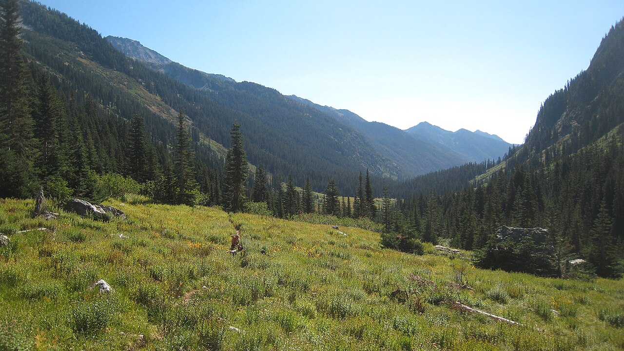 Mount Maude9,075 ft · Washington1 route9.1 mi awayPhoto: Mark Iverson, CC BY-SA 2.0 (via Wikimedia Commons)
 Glacier Peak10,543 ft · Washington1 route9.3 mi awayPhoto: Walter Siegmund (talk), CC BY-SA 3.0 (via Wikimedia Commons)
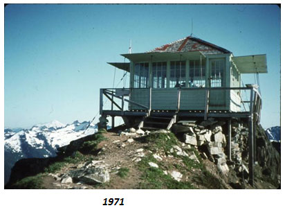 Green Mountain6,494 ft · Washington1 route14 mi awayPhoto: United States Department of Agriculture, Public domain (via Wikimedia Commons)
 White Mountain7,032 ft · Washington1 route14 mi awayPhoto: Martin Bravenboer, CC BY 2.0 (via Wikimedia Commons)
- Canyon Lake Trail #797Hiking0.8 mi
- Miner's Cabin Trail #795Hiking0.9 mi
- CANYON LAKEHiking1.5 mi
- Pacific Crest TrailHiking1.5 mi
- Canyon CreekCanoeing3.5 mi
- Sulphur CreekCanoeing7.5 mi
 Suiattle RiverCanoeingPhoto: Jason Hollinger, CC BY 2.0 (via Wikimedia Commons)7.9 mi
- HoldenCamping8.3 mi
Source: Roamze catalog (indexable pages within 10 miles, PostGIS distance)
 Sitting Bull MountainSummit · ~3 min drivePhoto: Martin Bravenboer, CC BY 2.0 (via Wikimedia Commons)
- Cloudy PeakSummit · ~5 min drivePhoto: Martin Bravenboer, CC BY 2.0 (via Wikimedia Commons)
 Fortress MountainSummit · ~6 min drivePhoto: Martin Bravenboer, CC BY 2.0 (via Wikimedia Commons)
 Chiwawa MountainSummit · ~7 min drivePhoto: Martin Bravenboer, CC BY 2.0 (via Wikimedia Commons)
 Bonanza PeakSummit · ~9 min drivePhoto: Ralph A. Haugerud and Rowland W. Tabor, Public domain (via Wikimedia Commons)
 Dumbell MountainSummit · ~10 min drivePhoto: Martin Bravenboer, CC BY 2.0 (via Wikimedia Commons)
 Gamma PeakSummit · ~11 min drivePhoto: Martin Bravenboer, CC BY-SA 3.0 (via Wikimedia Commons)
 Sinister PeakSummit · ~11 min drivePhoto: Peter Stevens, CC BY 2.0 (via Wikimedia Commons)
 Agnes MountainSummit · ~13 min drivePhoto: Martin Bravenboer, CC BY 2.0 (via Wikimedia Commons)
 Mount FernowSummit · ~14 min drivePhoto: Ron Clausen, CC BY-SA 4.0 (via Wikimedia Commons)

