Cutts Island
 Photo: Steven Pavlov, CC BY-SA 4.0 (via Wikimedia Commons)
- State Park and Recreation
- managed by
- May–Sep
- best months
Clear today
Weather is good · OpenWeather · checked 7 h ago
Cutts Island is a Washington state park managed by State Park and Recreation, about a mile from the community of Raft Island. The park's own name is its own land unit, and it serves as a base for a cluster of short trails that sit within a few miles of one another. Summer is the most comfortable time to visit. Typical averages from the nearby Tacoma Narrows airport weather station show July and August highs around 76°F with only four or five wet days a month, while winter months bring highs in the mid-40s and rain on 20 or more days. The closest trails are the Upper Loop Trail and the Interpretive Loop Trail, both about a mile away. The Sehmel Perimeter Trail is roughly 2.6 miles off, and the Adam Tallman Nature Park Trail is about 4.4 miles away.
Park size
351 acres
 Upper Loop TrailHikingPhoto: Steven Pavlov, CC BY-SA 4.0 (via Wikimedia Commons)1 mi
- Interpretive Loop TrailHikingPhoto: Steven Pavlov, CC BY-SA 4.0 (via Wikimedia Commons)1 mi
- Sehmel Perimeter TrailHiking2.6 mi
- Adam Tallman Nature Park TrailHiking4.4 mi
- Central-West Cascades & SeattleRock climbing4.7 mi
- Dissidents TrailHiking4.9 mi
- Wilson Way Bridge BoulderRock climbing8.3 mi
- Point Defiance ParkRock climbing8.4 mi
Source: Roamze catalog (indexable pages within 10 miles, PostGIS distance)
 KopachuckState park · ~2 min drivePhoto: Steven Pavlov, CC BY-SA 4.0 (via Wikimedia Commons)
 Penrose PointState park · ~9 min drivePhoto: Lumpytrout, CC BY-SA 3.0 (via Wikimedia Commons)
 Joemma BeachState park · ~15 min drivePhoto: BrennodAloisi, CC BY-SA 4.0 (via Wikimedia Commons)
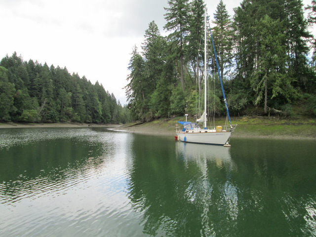 Jarrell CoveState park · ~17 min drivePhoto: Lumpytrout, CC BY-SA 3.0 (via Wikimedia Commons)
 BelfairState park · ~20 min drivePhoto: ECTran71, CC BY-SA 4.0 (via Wikimedia Commons)
 TwanohState park · ~24 min drivePhoto: Steven Pavlov, CC BY-SA 4.0 (via Wikimedia Commons)
 TolmieState park · ~25 min drivePhoto: Steven Pavlov, CC BY-SA 4.0 (via Wikimedia Commons)
 Saltwater State ParkState park · ~30 min drivePhoto: Joe Mabel, CC BY-SA 3.0 (via Wikimedia Commons)
 ManchesterState park · ~32 min drivePhoto: Lumpytrout, CC BY-SA 3.0 (via Wikimedia Commons)
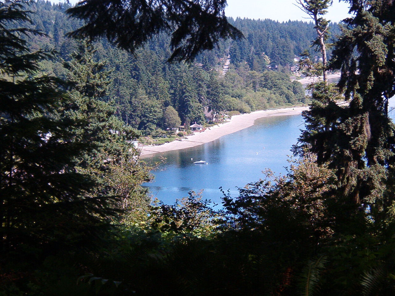 IllaheeState park · ~33 min drivePhoto: Dyknowsore at en.wikipedia, CC BY-SA 3.0 (via Wikimedia Commons)
Best time to visit Cutts Island
Best months: May–September. Best months have typical highs of 55–85 °F, lows of 30 °F or warmer (32 °F where the station doesn't record snow), at most one snowy day and no more than 12 wet days.
Jan
46° / 36°
21 wet
Feb
48° / 37°
18 wet
Mar
53° / 39°
19 wet
Apr
57° / 41°
15 wet
May
64° / 47°
12 wet
Jun
70° / 51°
9 wet
Jul
76° / 54°
4 wet
Aug
76° / 54°
5 wet
Sep
70° / 51°
9 wet
Oct
59° / 46°
16 wet
Nov
50° / 40°
19 wet
Dec
46° / 36°
21 wet
Typical high / low (°F) and days with rain or snow, 1991–2020. Measured at Tacoma Narrows Ap, WA, 6.4 mi away at 292 ft. We don't have this place's elevation, so higher spots nearby can run cooler. This station doesn't record snowfall. Source: NOAA NCEI U.S. Climate Normals 1991–2020.
