Cone Island
- State Park and Recreation
- managed by
- Apr–Oct
- best months
Clear at last check
Weather is good · OpenWeather · checked 23 h ago
Cone Island is a Washington state park managed by State Park and Recreation, about 7.5 miles from Anacortes. It sits within the state park of the same name, and its location makes it a natural base for exploring the surrounding islands and waterways. Summer is the most comfortable time to visit. Typical averages from a nearby weather station show July and August highs around 69°F with only about five wet days a month, while winter brings highs in the mid-40s and roughly 15 wet days a month. The closest neighbors are the Cascadia Marine Trail campsites at Cypress Head and Lummi Island, both within about 5.5 miles. The Sound View Trail and Highlands Trail, both about 7 miles away, offer hiking options on land.
Park size
11 acres
- name=Cascadia Marine Trail Campsite - Cypress HeadCamping1.6 mi
- Cascade Marine Trail, campsite for human powered boatsCamping1.6 mi
- Cascadia Marine Trail Campsite - Lummi IslandCamping5.4 mi
- Cascadia Marine Trail - Saddlebag IslandCamping6.7 mi
- Sound View TrailHiking7.1 mi
- Highlands TrailHiking7.1 mi
- Coho Preserve TrailHiking7.6 mi
- Perimeter TrailHiking8.6 mi
Source: Roamze catalog (indexable pages within 10 miles, PostGIS distance)
 Obstruction Pass State ParkState park · ~12 min drivePhoto: David Burn from Portland, OR, USA, CC BY-SA 2.0 (via Wikimedia Commons)
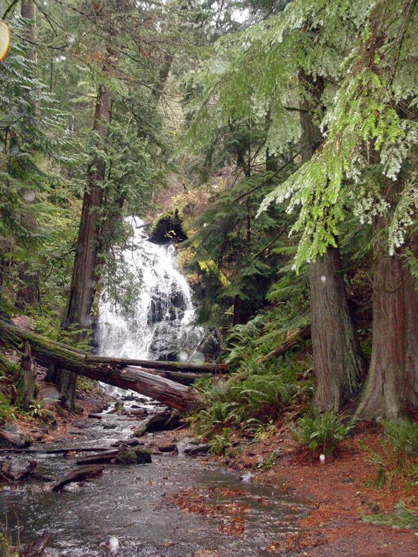 Moran State ParkState park · ~15 min drivePhoto: Nickpdx, Public domain (via Wikimedia Commons)
 Spencer SpitState park · ~16 min drivePhoto: Josh Lackey, CC BY-SA 2.0 (via Wikimedia Commons)
 Larrabee State ParkState park · ~17 min drivePhoto: Cody Logan (aka clpo13), CC BY-SA 3.0 (via Wikimedia Commons)
 Blind IslandState park · ~21 min drivePhoto: Bureau of Land Management Oregon and Washington, Public domain (via Wikimedia Commons)
 Bay View State ParkState park · ~21 min drivePhoto: Steven Pavlov, CC BY-SA 4.0 (via Wikimedia Commons)
 Birch Bay State ParkState park · ~37 min drivePhoto: Heather Harvey from Vancouver, Canada, CC BY-SA 2.0 (via Wikimedia Commons)
 Lime Kiln Point State ParkState park · ~38 min drivePhoto: Draugen at English Wikipedia, Public domain (via Wikimedia Commons)
 Posey IslandState park · ~39 min drivePhoto: Bureau of Land Management Oregon and Washington, Public domain (via Wikimedia Commons)
 Stuart IslandState park · ~42 min drivePhoto: Canuckle, CC0 (via Wikimedia Commons)
Best time to visit Cone Island
Best months: April–October. Best months have typical highs of 55–85 °F, lows of 30 °F or warmer (32 °F where the station doesn't record snow), at most one snowy day and no more than 12 wet days.
Jan
44° / 38°
15 wet · 1 snow
Feb
46° / 39°
12 wet
Mar
50° / 41°
13 wet
Apr
55° / 44°
11 wet
May
61° / 48°
9 wet
Jun
65° / 51°
7 wet
Jul
69° / 54°
5 wet
Aug
69° / 54°
5 wet
Sep
65° / 51°
7 wet
Oct
56° / 47°
12 wet
Nov
48° / 42°
15 wet
Dec
44° / 38°
15 wet · 1 snow
Typical high / low (°F) and days with rain or snow, 1991–2020. Measured at Olga 2 Se, WA, 6.2 mi away at 80 ft. We don't have this place's elevation, so higher spots nearby can run cooler. Source: NOAA NCEI U.S. Climate Normals 1991–2020.
