Lower Town Wall
Lower Town Wall is a Washington climbing crag with 3 routes and 2 difficulty grades.
- 3 routes
- 5.9+ – 5.11a
- Trad
Is Lower Town Wall open right now?
Closure in the area
There's a closure order in Mt. Baker-Snoqualmie National Forest. It doesn't name Lower Town Wall, so check the source for the area it covers (2 listed).
Grand Park 2 Fire Closure Update
Agency closure covering Mt. Baker-Snoqualmie National Forest · Order 06-05-26-16 · USFS · Mt. Baker-Snoqualmie National Forest
Bell Creek Bridge Damaged
Agency closure covering Mt. Baker-Snoqualmie National Forest · USFS · Mt. Baker-Snoqualmie National Forest
Rescission of Shooting Restrictions
Agency alert covering Mt. Baker-Snoqualmie National Forest · USFS · Mt. Baker-Snoqualmie National Forest
Electric Fire Closure Order
Agency alert covering Mt. Baker-Snoqualmie National Forest · Order 06-05-26-19 · USFS · Mt. Baker-Snoqualmie National Forest
Mountain Goats Have Been Present on Yellow Aster Butte
Agency alert covering Mt. Baker-Snoqualmie National Forest · USFS · Mt. Baker-Snoqualmie National Forest
As of · Source: USFS · Mt. Baker-Snoqualmie National Forest. Agencies don't list every closure — check before you go.
Best time to visit Lower Town Wall
Best months: July–September. Best months have typical highs of 55–85 °F, lows of 30 °F or warmer (32 °F where the station doesn't record snow), at most one snowy day and no more than 12 wet days.
Jan
42° / 31°
20 wet · 4 snow
Feb
47° / 32°
17 wet · 2 snow
Mar
52° / 34°
19 wet · 2 snow
Apr
59° / 38°
18 wet
May
66° / 44°
16 wet
Jun
69° / 48°
13 wet
Jul
77° / 52°
7 wet
Aug
77° / 52°
7 wet
Sep
71° / 48°
11 wet
Oct
58° / 41°
16 wet
Nov
47° / 36°
20 wet · 2 snow
Dec
41° / 32°
20 wet · 5 snow
Typical high / low (°F) and days with rain or snow, 1991–2020. Measured at Baring, WA, 5.3 mi away at 770 ft. Source: NOAA NCEI U.S. Climate Normals 1991–2020.
Closures we've recorded since August 2026
Campfire Ban in Effect Forest-wide
Mt. Baker-Snoqualmie National Forest · Order dated July 21, 2026; seen Aug 23, 2026 → lifted Sep 15, 2026 · Forest Service
Lower Town Wall is a climbing area in the Skykomish Ranger District of Mt. Baker-Snoqualmie National Forest in Washington, about 0.8 miles from the town of Index. It sits among a cluster of climbing and hiking spots, with the Index Town Wall Trail and the (C) Main Wall, left side climbing area both about 0.1 mile away. Summer is the most comfortable time to visit. Typical averages from the nearby Baring weather station show July and August highs around 77°F with only about seven wet days a month, while winter brings highs in the low 40s and frequent snow days. Heybrook Lookout, a campground about 1.8 miles away, and the Crescent Trail, a hike about 0.4 mile away, are the closest options for an overnight stay or a walk.
Routes (3)
(Cb) The Shield(3)
Keep exploring — more climbs worth the drive
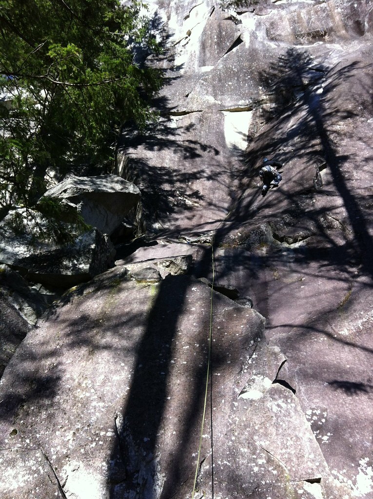 Photo: Laurel Fan, CC BY-SA 2.0 (via Flickr)
(B) Sonic Slab
~0 min drive
Sonic Slab in Washington has 6 routes ranging across 6 difficulty grades.
Photo: Laurel Fan, CC BY-SA 2.0 (via Flickr)Inner Wall Trail
~0 min drive
Inner Wall Trail is a climbing area in Washington with 5 routes.
 Photo: Laurel Fan, CC BY-SA 2.0 (via Flickr)
The Country
~0 min drive
Country, The in Washington has 42 climbing routes across 19 difficulty grades.
Photo: Laurel Fan, CC BY-SA 2.0 (via Flickr)Upper Rhythm
~0 min drive
Upper Rhythm in Washington has 5 climbing routes across 4 grades, offering sport and trad options.
 Photo: Laurel Fan, CC BY-SA 2.0 (via Flickr)
Toxic - Tang Area
~0 min drive
Toxic - Tang Area in Washington has 12 climbing routes across 9 difficulty grades.
Photo: Laurel Fan, CC BY-SA 2.0 (via Flickr)Grandeur Buttress
~0 min drive
Grandeur Buttress in Washington has 7 climbing routes across 6 grades, offering mixed and trad options.
 Photo: Laurel Fan, CC BY-SA 2.0 (via Flickr)
Inner Walls
~0 min drive
Inner Walls in Washington has 4 routes with 4 difficulty grades, offering sport and trad climbing.
Photo: Laurel Fan, CC BY-SA 2.0 (via Flickr)The Wart
~0 min drive
Wart, The is a climbing area in Washington with 8 routes.
 Photo: Loco Steve, CC BY 3.0 (via Wikimedia Commons)
Beetle Bailey Slab
~1 min drive
Beetle Bailey Slab in Washington has 18 climbing routes across 13 grades, offering sport and trad styles.
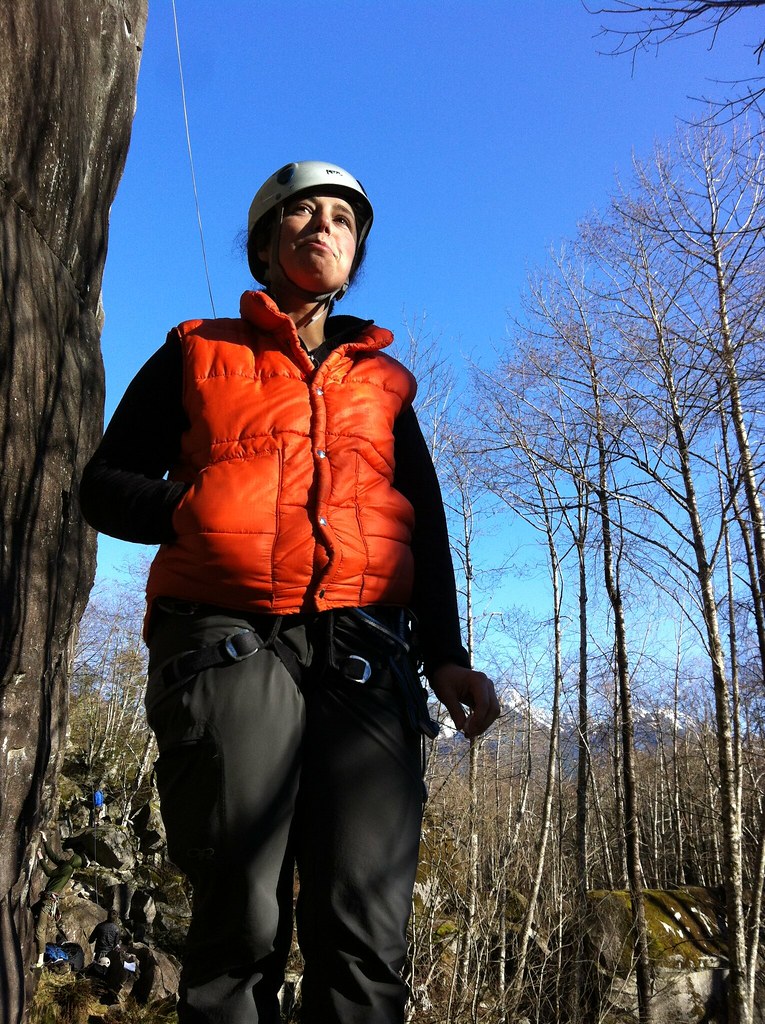 Photo: Laurel Fan, CC BY-SA 2.0 (via Flickr)
(D) Narrow Arrow and further right
~0 min drive
25 climbing routes in Washington spanning 18 difficulty grades.


