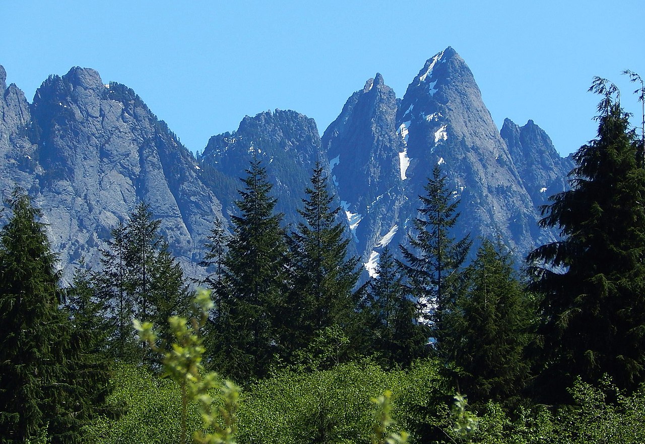
Middle Fork Campground
Campground
Campground · 0.5 mi from the trail
Closure in the area
There's a closure order in Mt. Baker-Snoqualmie National Forest. It doesn't name Middle Fork Campground Loop, so check the source for the area it covers (3 listed).
Grand Park 2 Fire Closure Update
Agency closure covering Mt. Baker-Snoqualmie National Forest · Order 06-05-26-16 · USFS · Mt. Baker-Snoqualmie National Forest
Grand Park 2 Fire Closure
Agency closure covering Snoqualmie Ranger District · Order 06-05-26-13 · USFS · Snoqualmie Ranger District
Bell Creek Bridge Damaged
Agency closure covering Mt. Baker-Snoqualmie National Forest · USFS · Mt. Baker-Snoqualmie National Forest
Rescission of Shooting Restrictions
Agency alert covering Mt. Baker-Snoqualmie National Forest · USFS · Mt. Baker-Snoqualmie National Forest
Electric Fire Closure Order
Agency alert covering Mt. Baker-Snoqualmie National Forest · Order 06-05-26-19 · USFS · Mt. Baker-Snoqualmie National Forest
As of · Source: USFS · Mt. Baker-Snoqualmie National Forest. Agencies don't list every closure — check before you go.
Middle Fork Campground Loop is a 0.25-mile trail at Middle Fork Trailhead in Washington with 104 feet of elevation gain. The trail is managed by the Forest Service as part of the Middle Fork Trailhead system.
Middle Fork Campground
Campground
 If it rainsShakespeare at English Wikipedia, CC BY-SA 3.0 · Wikimedia Commons
Railway station in Snoqualmie, the United States of America
Places © OpenStreetMap contributors · Photos: Shakespeare at English Wikipedia, CC BY-SA 3.0 (commons)
More in Gold BarNot on Roamze yet. Their page has how to reach them.
Best months: July–September. Best months have typical highs of 55–85 °F, lows of 30 °F or warmer (32 °F where the station doesn't record snow), at most one snowy day and no more than 12 wet days.
Jan
39° / 32°
19 wet · 5 snow
Feb
42° / 32°
17 wet · 4 snow
Mar
46° / 33°
20 wet · 4 snow
Apr
51° / 36°
19 wet · 1 snow
May
59° / 42°
17 wet
Jun
63° / 46°
15 wet
Jul
70° / 51°
9 wet
Aug
71° / 52°
8 wet
Sep
64° / 47°
12 wet
Oct
54° / 41°
17 wet
Nov
44° / 36°
20 wet · 2 snow
Dec
39° / 31°
20 wet · 5 snow
Typical high / low (°F) and days with rain or snow, 1991–2020. Measured at Cedar Lake, WA, 14.1 mi away at 1,560 ft. Source: NOAA NCEI U.S. Climate Normals 1991–2020.
Campfire Ban in Effect Forest-wide
Mt. Baker-Snoqualmie National Forest · Order dated July 21, 2026; seen Aug 23, 2026 → lifted Sep 15, 2026 · Forest Service
 Photo: Buidhe, CC BY-SA 4.0 (via Wikimedia Commons)
Mount Defiance
~15 min drive
6.07-mile trail in Talapus Lake Trailhead system, 2,678 ft elevation gain.
RIDE
Middle Fork Snoqualmie Trail
~5 min drive
Hard XC wilderness adventure on historic railroad grade through Alpine Lakes region.
RIDE
CCC Trail
~7 min drive
2.68-mile out-and-back singletrack with 1,199 ft gain in Washington
RIDE
Dutch Miller Gap Trail
~14 min drive
3.02-mile out-and-back trail in Washington with 2,550 ft elevation gain.
 Photo: brewbooks from near Seattle, USA, CC BY-SA 2.0 (via Wikimedia Commons)
Island Lake
~16 min drive
0.36-mile trail at Talapus Lake Trailhead with 74 ft of elevation gain
RIDE
Dutch Miller Gap Trail
~8 min drive
4.29-mile out-and-back trail in Washington with 1,825 ft of elevation gain.
RIDE
CCC Trail
~12 min drive
2.80-mile out-and-back singletrack in Washington with 1,753 ft elevation gain.
RIDE
Dutch Miller Gap Trail
~8 min drive
0.11-mile out-and-back trail in Washington with 78 ft of elevation gain.
Photo: Buidhe, CC BY-SA 4.0 (via Wikimedia Commons)Talapus Cutoff
~16 min drive
0.12-mile trail in Talapus Lake Trailhead system, 154 ft elevation gain
 Photo: Marshall Stax, CC BY-SA 4.0 (via Wikimedia Commons)
Talapus Lake
~18 min drive
0.13-mile trail at Talapus Lake Trailhead with 100 ft elevation gain
Map and trail data © OpenStreetMap contributors