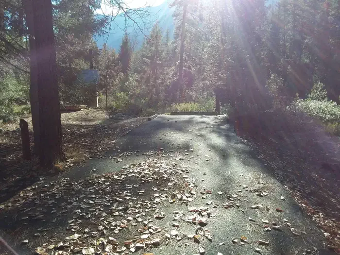
Tyee Lookout
Campground
Campground · 2.6 mi from the trail
Closure in the area
There's a closure order in Okanogan-Wenatchee National Forest. It doesn't name Trail to Dory's Rock, so check the source for the area it covers (2 listed).
Little Giant Fire Closure Superseding
Agency closure covering Okanogan-Wenatchee National Forest · Order 06-17-07-2026-48 · USFS · Okanogan-Wenatchee National Forest
Railroad and Preston Creek Road Closure
Agency closure covering Okanogan-Wenatchee National Forest · Order 06-17-05-26-04 · USFS · Okanogan-Wenatchee National Forest
Updated Little Giant Fire Closure Order- Wenatchee River and Entiat-Chelan Ranger Districts
Agency alert covering Entiat Ranger District · Order 06-170-7-2026-48 · USFS · Entiat Ranger District
Cle Elum River Restoration Area Closure on the Cle Elum Ranger District
Agency alert covering Okanogan-Wenatchee National Forest · USFS · Okanogan-Wenatchee National Forest
Gold Creek Restoration Project Area Closure on Cle Elum Ranger District
Agency alert covering Okanogan-Wenatchee National Forest · USFS · Okanogan-Wenatchee National Forest
As of · Source: USFS · Okanogan-Wenatchee National Forest. Agencies don't list every closure — check before you go.
Trail to Dory's Rock is a moderate out-and-back hike in Washington's Okanogan-Wenatchee National Forest, within the Entiat Ranger District. The trail stretches about 3.3 miles round trip and gains roughly 1,397 feet in elevation, with the steepest stretch near 0.74 miles from the start. The high point reaches about 3,257 feet, and the route starts at roughly 2,420 feet. Summer is the most comfortable time to go. Typical averages from a nearby weather station in Plain show July and August highs around 82°F with only about three wet days a month, while winter brings highs near freezing and wet days on more than half the month. The trip takes about two hours. Several other outings sit close by, including the Trail to Brennegan Falls at half a mile and the Trail to Stan's Rock at 0.8 miles. McCrea Falls Trail is about a mile away, and Fox Creek Campground is about 3.8 miles off.
Tyee Lookout
Campground
Leavenworth Reindeer Farm
Attraction
Places © OpenStreetMap contributors
More in LeavenworthNot on Roamze yet. Their page has how to reach them.
 Lake Creek Campground - Entiat RiverCampingPhoto: Recreation.gov (RIDB) / public domain4.3 mi
Source: Roamze catalog (indexable pages within 10 miles, PostGIS distance)
Best months: April–October. Best months have typical highs of 55–85 °F, lows of 30 °F or warmer (32 °F where the station doesn't record snow), at most one snowy day and no more than 12 wet days.
Jan
34° / 21°
16 wet
Feb
40° / 23°
13 wet
Mar
48° / 27°
12 wet
Apr
57° / 32°
9 wet
May
67° / 39°
8 wet
Jun
73° / 45°
6 wet
Jul
82° / 50°
3 wet
Aug
82° / 49°
3 wet
Sep
74° / 42°
5 wet
Oct
58° / 33°
11 wet
Nov
42° / 27°
15 wet
Dec
32° / 21°
17 wet
Typical high / low (°F) and days with rain or snow, 1991–2020. Measured at Plain, WA, 12.2 mi away at 1,936 ft. The station sits about 1,300 ft lower than this place, so expect it a little cooler here. This station doesn't record snowfall. Source: NOAA NCEI U.S. Climate Normals 1991–2020.
Map and trail data © OpenStreetMap contributors
