Ranger Hole Trail
- 0.8 mi
- round trip
- 457 ft
- climb
- 452 ft
- high point
- Out and back
- route
- Apr–Oct
- best months
Is Ranger Hole Trail open right now?
Closure in the area
There's a closure order in Hood Canal Ranger District/Hoodsport. It doesn't name Ranger Hole Trail, so check the source for the area it covers.
FS-2451 and Copper Creek Trail Closure
Agency closure covering Hood Canal Ranger District/Hoodsport · Order 06-09-26-10 · USFS · Hood Canal Ranger District/Hoodsport
Roads to be Closed for Wildlife on October 1, 2026
Agency alert covering Olympic National Forest · USFS · Olympic National Forest
FS-2451 and Copper Creek Trail Closure
Agency alert covering Olympic National Forest · Order 06-09-26-10 · USFS · Olympic National Forest
FS-2160 Road Closure for Bridge Inspection
Agency alert covering Olympic National Forest · Order 06-09-26-07 · USFS · Olympic National Forest
High Steel Bridge and surrounding area closed to pedestrians/off trail hiking
Agency alert covering Olympic National Forest · Order 06-09-24-08 · USFS · Olympic National Forest
As of · Source: USFS · Hood Canal Ranger District/Hoodsport. Agencies don't list every closure — check before you go.
Ranger Hole Trail is a short, easy out-and-back hike in the Hood Canal Ranger District/Hoodsport of Olympic National Forest in Washington, managed by the Forest Service. The trailhead sits at about 432 feet, and the route climbs to a high point of 452 feet before returning, with a total elevation gain of 457 feet over 1.5 miles. The steepest stretch comes at about 0.67 miles in, where the grade reaches 21 percent. Summer is the most comfortable time to go. Typical averages from a nearby weather station in Quilcene show July and August highs around 77°F with lows near 50°F, while winter highs stay in the mid-40s. The trailhead is named Ranger Hole Trailhead, and the trip takes about half an hour. Collins Campground is about 1.3 miles away, and Mt. Jupiter Trail #809 and Murhut Falls Trail #828 are both within about 2 miles. Rocky Brook, a canoeing spot, is about 4 miles off.
Local outfitters
- Tidewater RV Park18 mi away
- Eagle Tree RV Park19 mi away
Not on Roamze yet. Their page has how to reach them.
- Collins CampgroundCamping1.3 mi
- Mt. Jupiter Trail #809Hiking1.5 mi
- Murhut Falls Trail #828Hiking2.1 mi
- MURHUT FALLSHiking2.1 mi
- Rocky BrookCanoeing4.2 mi
- Seal RockCamping5.1 mi
- Cabin CreekCanoeing6.8 mi
- Jefferson LakeRock climbing8.3 mi
Source: Roamze catalog (indexable pages within 10 miles, PostGIS distance)
 Steam Donkey Loop TrailHiking · ~6 min drivePhoto: U.S. Forest Service- Pacific Northwest Region, Public domain (via Wikimedia Commons)
- Maple Valley TrailHiking · ~7 min drivePhoto: U.S. Forest Service- Pacific Northwest Region, Public domain (via Wikimedia Commons)
 Tunnel Creek TrailHiking · ~9 min drivePhoto: U.S. Forest Service- Pacific Northwest Region, Public domain (via Wikimedia Commons)
 Tunnel Creek Trail #841Hiking · ~13 min drivePhoto: U.S. Forest Service- Pacific Northwest Region, Public domain (via Wikimedia Commons)
- Rhody Cutoff TrailHiking · ~7 min drivePhoto: U.S. Forest Service- Pacific Northwest Region, Public domain (via Wikimedia Commons)
 The Brothers Trail #821Hiking · ~15 min drivePhoto: U.S. Forest Service- Pacific Northwest Region, Public domain (via Wikimedia Commons)
- Mt. Jupiter Trail #809Hiking · ~3 min drive
 Lower Big Quilcene TrailHiking · ~15 min drivePhoto: U.S. Forest Service- Pacific Northwest Region, Public domain (via Wikimedia Commons)
 Sawmill TrailHiking · ~11 min drivePhoto: U.S. Forest Service- Pacific Northwest Region, Public domain (via Wikimedia Commons)
- Lena Lake Trail #810Hiking · ~16 min drivePhoto: U.S. Forest Service- Pacific Northwest Region, Public domain (via Wikimedia Commons)
Also worth it near here
- DuckabushBeach · ~6 min drive
 The BrothersSummit · ~12 min drivePhoto: Stevekuo, CC BY-SA 3.0 (via Wikimedia Commons)
 Duckabush RiverCanoeing · ~13 min drivePhoto: U.S. Forest Service- Pacific Northwest Region, Public domain (via Wikimedia Commons)
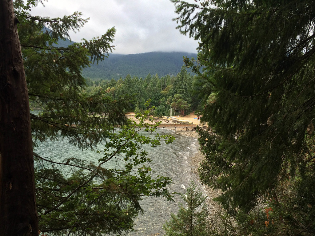 Camp ParsonsCamping · ~13 min drivePhoto: sprague — CC BY 2.0 (via Flickr)
Best time to visit Ranger Hole Trail
Best months: April–October. Best months have typical highs of 55–85 °F, lows of 30 °F or warmer (32 °F where the station doesn't record snow), at most one snowy day and no more than 12 wet days.
Jan
46° / 32°
Feb
49° / 32°
Mar
54° / 35°
Apr
60° / 38°
May
67° / 44°
Jun
70° / 48°
Jul
77° / 52°
Aug
77° / 51°
Sep
72° / 47°
Oct
61° / 41°
Nov
50° / 35°
Dec
44° / 32°
Typical high / low (°F) and days with rain or snow, 1991–2020. Measured at Quilcene 2 Sw, WA, 9.6 mi away at 123 ft. This station doesn't record snowfall. Source: NOAA NCEI U.S. Climate Normals 1991–2020.
Map and trail data © OpenStreetMap contributors
