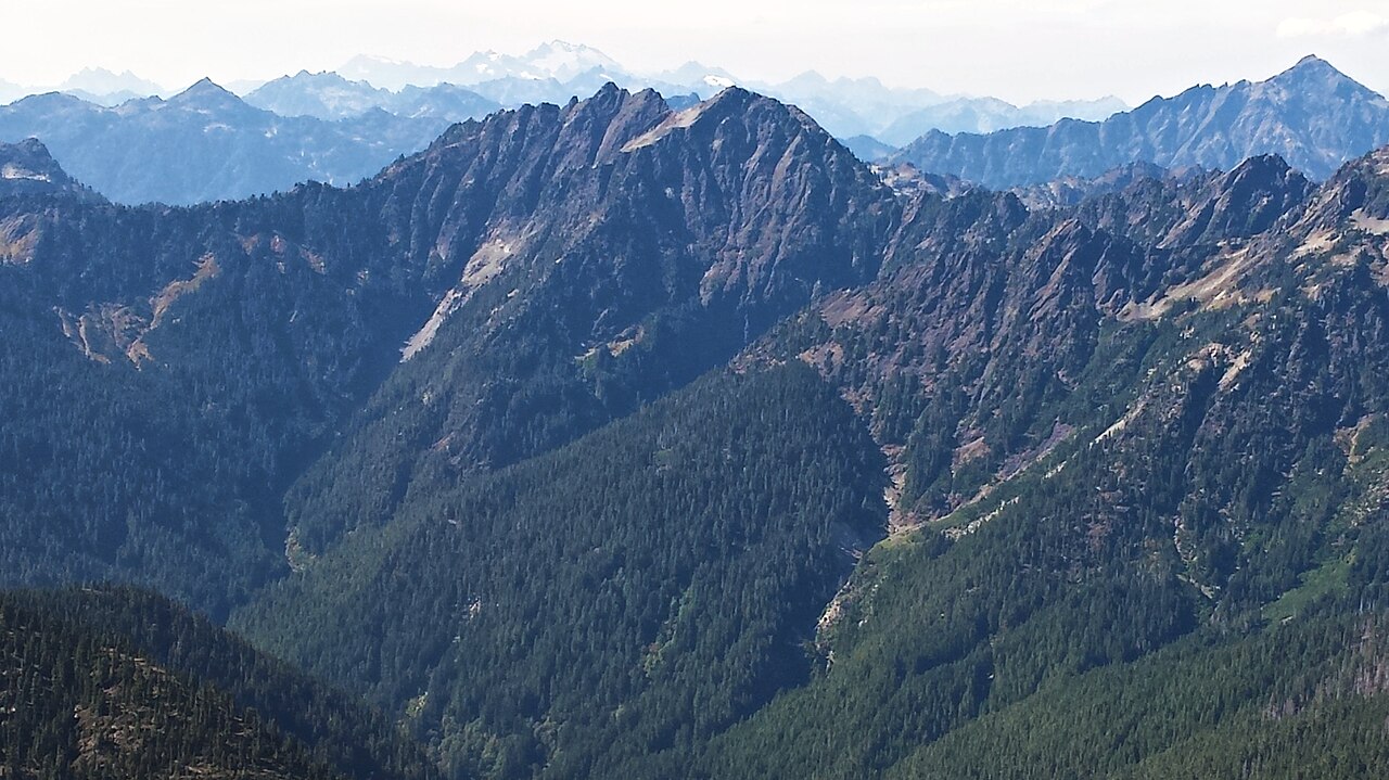
O'neil Pass Trail
- 11.4 mi
- round trip
- 6,549 ft
- climb
- 4,986 ft
- high point
- Out and back
- route
Is O'neil Pass Trail open right now?
Closure in the area
There's a closure order in Olympic National Park. It doesn't name O'neil Pass Trail, so check the source for the area it covers.
Hurricane Ridge Road Closed, Tuesday 11/17, 8:45am
Park closure covering Olympic National Park · NPS · Olympic National Park
Visitors to Rialto, Ruby Beach & Coastal Areas Cautioned Due to High Tides
Park alert covering Olympic National Park · NPS · Olympic National Park
Bat Tests Positive for Rabies, Visitors Urged to Report Potential Contact
Park alert covering Olympic National Park · NPS · Olympic National Park
Full Burn Ban Begins August 7
Park alert covering Olympic National Park · NPS · Olympic National Park
Staircase Developed Area is Open, Use Caution in Burned Areas
Park alert covering Olympic National Park · NPS · Olympic National Park
As of · Source: NPS · Olympic National Park. Agencies don't list every closure — check before you go.
O'Neil Pass Trail is an expert-level hike of about 11 miles in Olympic National Park, Washington, set within the Daniel J. Evans Wilderness and managed by the National Park Service. The route is an out-and-back, roughly 22.7 miles round trip, with the high point at 4,986 feet and the low at 2,711 feet. The trail starts at about 4,365 feet and gains about 6,500 feet in elevation over the course of the trip. Because this is an expert-level route, plan on a long day with a substantial climb. A fee is charged for the hike, according to National Park Service records. Several trails sit close to the route. LaCrosse Basin Way Trail is about half a mile away and Hart Lake Way Trail about 0.9 miles. West Fork Dosewallips River Trail and Anderson Moraine Primitive Trail are each about 3 miles out.
Local outfitters
- Tidewater RV Park19 mi away
- Rain Forest Resort25 mi away
Not on Roamze yet. Their page has how to reach them.
- LaCrosse Basin Way TrailHiking0.5 mi
- Hart Lake Way TrailHiking0.9 mi
- West Fork Dosewallips River TrailHiking3 mi
- Anderson Moraine Primitive TrailHiking3 mi
- Home-Sweet-Home TrailHiking3.4 mi
- Duckabush River TrailHiking3.4 mi
- Olympic National ParkRock climbing3.7 mi
- Five StreamCanoeing9.8 mi
Source: Roamze catalog (indexable pages within 10 miles, PostGIS distance)
 Black and White Lakes Primitive TrailHiking · ~11 min drivePhoto: U.S. Forest Service- Pacific Northwest Region, Public domain (via Wikimedia Commons)
- Gladys Divide Primitive TrailHiking · ~12 min drivePhoto: U.S. Forest Service- Pacific Northwest Region, Public domain (via Wikimedia Commons)
- North Fork Skokomish River TrailHiking · ~14 min drivePhoto: U.S. Forest Service- Pacific Northwest Region, Public domain (via Wikimedia Commons)
 Cub Peak Way TrailHiking · ~16 min drivePhoto: U.S. Forest Service- Pacific Northwest Region, Public domain (via Wikimedia Commons)
 Wagonwheel Lake TrailHiking · ~18 min drivePhoto: Olympic National Park, Public domain (via Wikimedia Commons)
 The Brothers Trail #821Hiking · ~17 min drivePhoto: U.S. Forest Service- Pacific Northwest Region, Public domain (via Wikimedia Commons)
- West Fork Dosewallips River TrailHiking · ~5 min drive
- Hart Lake Way TrailHiking · ~2 min drive
- Home-Sweet-Home TrailHiking · ~6 min drive
- LENA LAKEHiking · ~18 min drivePhoto: U.S. Forest Service- Pacific Northwest Region, Public domain (via Wikimedia Commons)