Happy Lake Ridge Trail
 Photo: McKay Savage from London, UK, CC BY 2.0 (via Wikimedia Commons)
- 9.2 mi
- round trip
- 10,268 ft
- climb
- 5,324 ft
- high point
- Out and back
- route
Is Happy Lake Ridge Trail open right now?
Closure in the area
There's a closure order in Olympic National Park. It doesn't name Happy Lake Ridge Trail, so check the source for the area it covers.
Hurricane Ridge Road Closed, Tuesday 11/17, 8:45am
Park closure covering Olympic National Park · NPS · Olympic National Park
Visitors to Rialto, Ruby Beach & Coastal Areas Cautioned Due to High Tides
Park alert covering Olympic National Park · NPS · Olympic National Park
Bat Tests Positive for Rabies, Visitors Urged to Report Potential Contact
Park alert covering Olympic National Park · NPS · Olympic National Park
Full Burn Ban Begins August 7
Park alert covering Olympic National Park · NPS · Olympic National Park
Staircase Developed Area is Open, Use Caution in Burned Areas
Park alert covering Olympic National Park · NPS · Olympic National Park
As of · Source: NPS · Olympic National Park. Agencies don't list every closure — check before you go.
Happy Lake Ridge Trail is a 9.2-mile out-and-back hike in Olympic National Park, Washington, within the Daniel J. Evans Wilderness. The trail is managed by the National Park Service, and the route is rated expert. The climb is steep from the start. The trail begins at about 4,943 feet and reaches a high point of 5,324 feet, with a total elevation gain of 10,268 feet for the round trip. The steepest stretch comes within the first half mile, where the grade reaches about 56 percent. A fee is charged for the hike. Plan for a full day on foot, and check current conditions before heading out. Boulder Lake Trail starts just 0.2 miles away, and Appleton Pass Trail and Aurora Ridge Primitive Trail are both within about 2.3 miles. The Sol Duc River, a canoeing route, is about 3.1 miles off.
Local outfitters
- Elwha RV Park12 mi away
- Olympic Hiking Co.18 mi away
Not on Roamze yet. Their page has how to reach them.
- Boulder Lake TrailHikingPhoto: McKay Savage from London, UK, CC BY 2.0 (via Wikimedia Commons)0.2 mi
 Appleton Pass TrailHikingPhoto: McKay Savage from London, UK, CC BY 2.0 (via Wikimedia Commons)1.9 mi
- Aurora Ridge Primitive TrailHiking2.3 mi
 Crystal Ridge BootpathHikingPhoto: McKay Savage from London, UK, CC BY 2.0 (via Wikimedia Commons)2.9 mi
 Boulder Hot Springs TrailHikingPhoto: McKay Savage from London, UK, CC BY 2.0 (via Wikimedia Commons)3.1 mi
 Sol Duc RiverCanoeingPhoto: Kimon Berlin, CC BY-SA 2.0 (via Wikimedia Commons)3.1 mi
- North Fork Sol Duc RiverCanoeing3.7 mi
- EzpzRock climbing7.2 mi
Source: Roamze catalog (indexable pages within 10 miles, PostGIS distance)
- Appleton Pass TrailHiking · ~3 min drivePhoto: McKay Savage from London, UK, CC BY 2.0 (via Wikimedia Commons)
- Crystal Ridge BootpathHiking · ~5 min drivePhoto: McKay Savage from London, UK, CC BY 2.0 (via Wikimedia Commons)
 Clear Lake Way TrailHiking · ~8 min drivePhoto: Eggbones, CC BY-SA 4.0 (via Wikimedia Commons)
 Deer Lake TrailHiking · ~9 min drivePhoto: Kiwibirdman, CC BY 3.0 (via Wikimedia Commons)
- Hoh Lake TrailHiking · ~9 min drivePhoto: Eggbones, CC BY-SA 4.0 (via Wikimedia Commons)
- Boulder Hot Springs TrailHiking · ~5 min drivePhoto: McKay Savage from London, UK, CC BY 2.0 (via Wikimedia Commons)
- Happy Lake TrailHiking · ~6 min drive
- North Fork Sol Duc Primitive TrailHiking · ~5 min drive
- Boulder Lake TrailHiking · Next doorPhoto: McKay Savage from London, UK, CC BY 2.0 (via Wikimedia Commons)
- Mirror Lake Way TrailHiking · ~8 min drivePhoto: Eggbones, CC BY-SA 4.0 (via Wikimedia Commons)
Also worth it near here
 Mount AppletonSummit · ~4 min drivePhoto: Ron Clausen, CC BY-SA 4.0 (via Wikimedia Commons)
- Boulder Creek CampgroundCamping · ~5 min drive
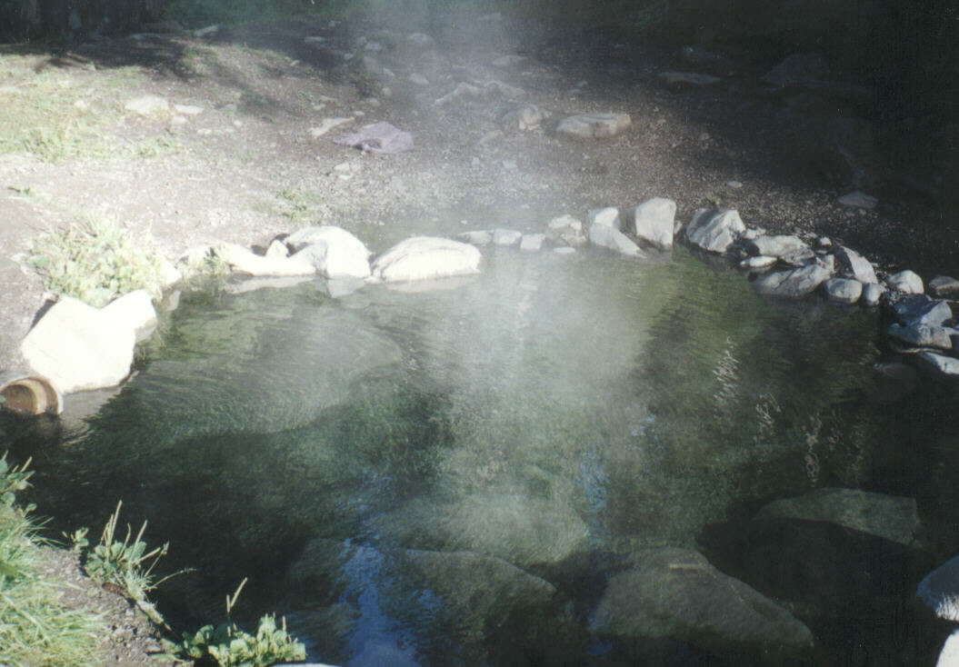 Olympic Hot SpringsHot spring · ~5 min drivePhoto: Robert Ashworth from Bellingham, WA., USA, CC BY 2.0 (via Wikimedia Commons)
- Sol Duc RiverCanoeing · ~5 min drivePhoto: Kimon Berlin, CC BY-SA 2.0 (via Wikimedia Commons)
