Dewey Lake Camp
Campground
Campground · 1.8 mi from the trail
Caution at last check
Agency alerts are in effect for this area; weather is good · USFS, OpenWeather · checked 18 h ago
Closure in the area
There's a closure order in Okanogan-Wenatchee National Forest. It doesn't name Dewey Lake Trail, so check the source for the area it covers (2 listed).
Little Giant Fire Closure Superseding
Agency closure covering Okanogan-Wenatchee National Forest · Order 06-17-07-2026-48 · USFS · Okanogan-Wenatchee National Forest
Railroad and Preston Creek Road Closure
Agency closure covering Okanogan-Wenatchee National Forest · Order 06-17-05-26-04 · USFS · Okanogan-Wenatchee National Forest
Cle Elum River Restoration Area Closure on the Cle Elum Ranger District
Agency alert covering Okanogan-Wenatchee National Forest · USFS · Okanogan-Wenatchee National Forest
Gold Creek Restoration Project Area Closure on Cle Elum Ranger District
Agency alert covering Okanogan-Wenatchee National Forest · USFS · Okanogan-Wenatchee National Forest
Grouse Creek Aquatic Project Road Closure on the Wenatchee River Ranger District
Agency alert covering Okanogan-Wenatchee National Forest · USFS · Okanogan-Wenatchee National Forest
As of · Source: USFS · Okanogan-Wenatchee National Forest. Agencies don't list every closure — check before you go.
Dewey Lake Trail is a hard hike in the William O. Douglas Wilderness, part of the Naches Ranger District of the Okanogan-Wenatchee National Forest in Washington. The Forest Service manages the land, and the trail is an out-and-back route of about 13.5 miles with a total climb of about 2,966 feet. The high point is 5,252 feet, and the trail starts at that elevation, so the climb is back-loaded, with the steepest stretch at about 1.9 miles in. Summer is the most comfortable time to go. Typical averages from a nearby weather station at a similar elevation show July and August highs around 62 to 64°F with lows in the mid-40s, while winter highs stay in the low to mid 30s. Several other destinations sit close by. Swamp Lake and Cougar Lake are both under 2 miles away, and the Cougar Lakes Trail #958A is about 2 miles off. Lodgepole Campground is roughly 5.5 miles away for an overnight base.
Dewey Lake Camp
Campground
 If it rainsSteven Pavlov, CC BY-SA 4.0 · Wikimedia Commons
Places © OpenStreetMap contributors · Photos: Steven Pavlov, CC BY-SA 4.0 (commons)
More in PackwoodNot on Roamze yet. Their page has how to reach them.
 Bumping RiverCanoeingPhoto: Williamborg 03:31, 29 May 2007 (UTC), Public domain (via Wikimedia Commons)4.7 mi
Source: Roamze catalog (indexable pages within 10 miles, PostGIS distance)
 Tipsoo LakeHiking · ~6 min drivePhoto: Steven Pavlov, CC BY-SA 4.0 (via Wikimedia Commons)
 Shriner PeakHiking · ~9 min drivePhoto: Steven Pavlov, CC BY-SA 4.0 (via Wikimedia Commons)
 Crystal Peak TrailHiking · ~10 min drivePhoto: Walter Siegmund (talk), CC BY 2.5 (via Wikimedia Commons)
Also worth it near here
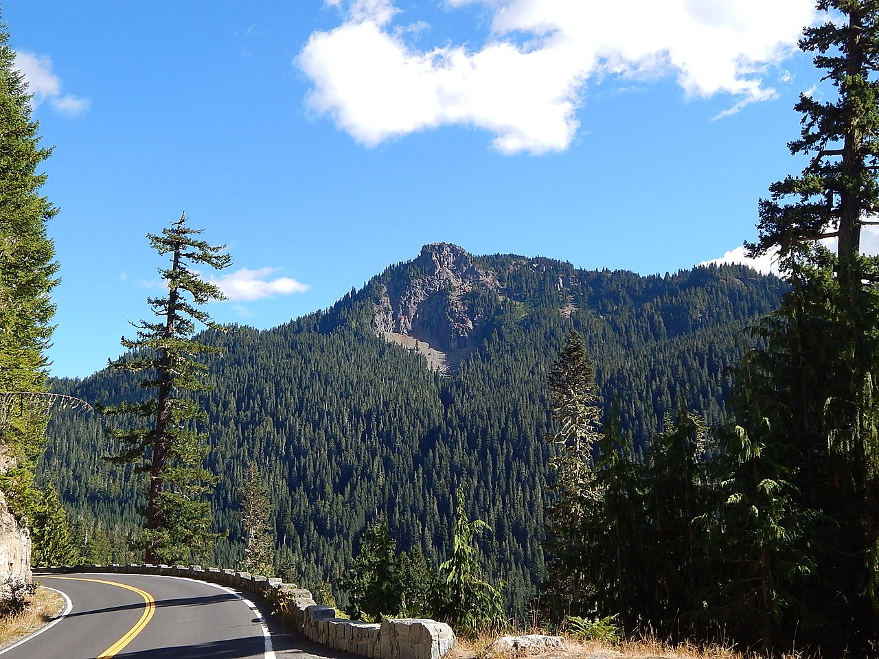 Seymour PeakSummit · ~4 min drivePhoto: Ron Clausen, CC BY-SA 4.0 (via Wikimedia Commons)
 Bullion BasinMountain biking · ~10 min drivePhoto: Farragutful, CC BY-SA 4.0 (via Wikimedia Commons)
 Crystal MountainDownhill skiing · ~10 min drivePhoto: ZhengZhou, CC BY-SA 3.0 (via Wikimedia Commons)
Best months: July–September. Best months have typical highs of 55–85 °F, lows of 30 °F or warmer (32 °F where the station doesn't record snow), at most one snowy day and no more than 12 wet days.
Jan
34° / 24°
Feb
34° / 23°
Mar
36° / 24°
Apr
40° / 26°
May
48° / 33°
Jun
54° / 37°
Jul
62° / 44°
Aug
64° / 45°
Sep
57° / 41°
Oct
46° / 33°
Nov
37° / 26°
Dec
33° / 22°
Typical high / low (°F) and days with rain or snow, 1991–2020. Measured at Rainier Paradise Rs, WA, 14.5 mi away at 5,427 ft. This station doesn't record snowfall. Source: NOAA NCEI U.S. Climate Normals 1991–2020.
Map and trail data © OpenStreetMap contributors
