Talapus Lake Backcountry Camping
Campground
Campground · < 0.1 mi from the trail
Closure in the area
There's a closure order in Snoqualmie Ranger District. It doesn't name Talapus Lake Backcountry Camping, so check the source for the area it covers (3 listed).
Gold Creek Area Closure
Agency closure covering Snoqualmie Ranger District · Order 06-17-03-26-07 · USFS · Snoqualmie Ranger District
Grand Park 2 Fire Closure
Agency closure covering Snoqualmie Ranger District · Order 06-05-26-13 · USFS · Snoqualmie Ranger District
Bell Creek Bridge Damaged
Agency closure covering Mt. Baker-Snoqualmie National Forest · USFS · Mt. Baker-Snoqualmie National Forest
Rescission of Shooting Restrictions
Agency alert covering Mt. Baker-Snoqualmie National Forest · USFS · Mt. Baker-Snoqualmie National Forest
Electric Fire Closure Order
Agency alert covering Mt. Baker-Snoqualmie National Forest · Order 06-05-26-19 · USFS · Mt. Baker-Snoqualmie National Forest
As of · Source: USFS · Snoqualmie Ranger District. Agencies don't list every closure — check before you go.
Talapus Lake Backcountry Camping is a campground in Washington.
Talapus Lake Backcountry Camping
Campground
 If it rainsShakespeare at English Wikipedia, CC BY-SA 3.0 · Wikimedia Commons
Railway station in Snoqualmie, the United States of America
Places © OpenStreetMap contributors · Photos: Shakespeare at English Wikipedia, CC BY-SA 3.0 (commons)
More in GreenwaterNot on Roamze yet. Their page has how to reach them.
 Bandera MountainSummitPhoto: Mblumer10, Public domain (via Wikimedia Commons)1.1 mi
 Granite MountainSummitPhoto: Nicholas Shipes from Seattle, Washington, United States, CC BY-SA 2.0 (via Wikimedia Commons)1.6 mi
 Tinkham CampgroundCampingPhoto: Recreation.gov (RIDB) / public domain2.6 mi
 OlallieState parkPhoto: ODrums600 at English Wikipedia, Public domain (via Wikimedia Commons)8.8 mi
Source: Roamze catalog (indexable pages within 10 miles, PostGIS distance)
Also worth it near here
 Talapus CutoffMountain biking · Next doorPhoto: Buidhe, CC BY-SA 4.0 (via Wikimedia Commons)
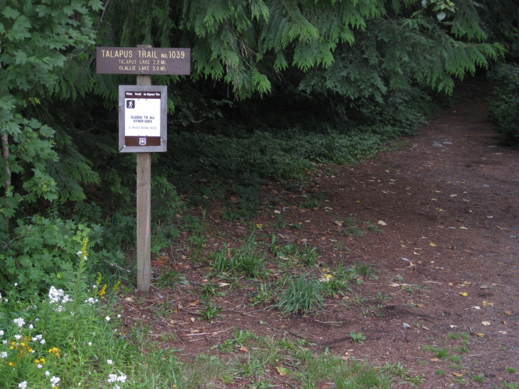 Talapus Lake TrailHiking · ~1 min drivePhoto: brewbooks — CC BY-SA 2.0 (via Flickr)Bandera MountainSummit · ~2 min drivePhoto: Mblumer10, Public domain (via Wikimedia Commons)
Best months: July–September. Best months have typical highs of 55–85 °F, lows of 30 °F or warmer (32 °F where the station doesn't record snow), at most one snowy day and no more than 12 wet days.
Jan
39° / 32°
19 wet · 5 snow
Feb
42° / 32°
17 wet · 4 snow
Mar
46° / 33°
20 wet · 4 snow
Apr
51° / 36°
19 wet · 1 snow
May
59° / 42°
17 wet
Jun
63° / 46°
15 wet
Jul
70° / 51°
9 wet
Aug
71° / 52°
8 wet
Sep
64° / 47°
12 wet
Oct
54° / 41°
17 wet
Nov
44° / 36°
20 wet · 2 snow
Dec
39° / 31°
20 wet · 5 snow
Typical high / low (°F) and days with rain or snow, 1991–2020. Measured at Cedar Lake, WA, 11.3 mi away at 1,560 ft. We don't have this place's elevation, so higher spots nearby can run cooler. Source: NOAA NCEI U.S. Climate Normals 1991–2020.
Campfire Ban in Effect Forest-wide
Mt. Baker-Snoqualmie National Forest · Order dated July 21, 2026; seen Aug 23, 2026 → lifted Sep 15, 2026 · Forest Service
Map and trail data © OpenStreetMap contributors
