Riviera Community Club Campground
- May–Sep
- best months
Clear at last check
Weather is good · OpenWeather · checked 17 h ago
- At 194 ft
Riviera Community Club Campground is a campground in Washington at about 194 feet.
Local outfitters
- Spencer Lake Extended Stay RV Park14 mi away
- Columbus Park at Black Lake18 mi away
Not on Roamze yet. Their page has how to reach them.
- Anderson Island Ferry DockBeach1.2 mi
- Eagle IslandState park1.2 mi
- Anderson Island Parks And RecState park1.4 mi
- Andy's Wildlife Trail Southern RouteHiking1.5 mi
- Andy's Wildlife Trail Northern RouteHiking1.6 mi
- Andy's Marine Park TrailHiking1.8 mi
- Longbranch Boat LaunchBeach2.6 mi
- Longbranch DockBeach3.7 mi
Source: Roamze catalog (indexable pages within 10 miles, PostGIS distance)
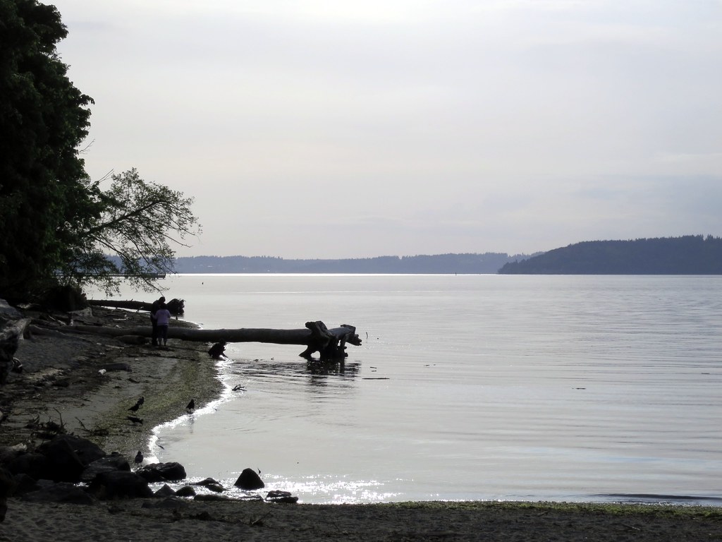 Dash Point CampgroundCamping · ~29 min drivePhoto: Ruth and Dave — CC BY 2.0 (via Flickr)
- Cascadia Marine TrailCamping · ~4 min drive
- Cascadia Marine Trail Campsite - Joemma BeachCamping · ~11 min drive
- Penrose Point State Park CampgroundsCamping · ~11 min drive
- Cascade Marine Trail CampsiteCamping · ~11 min drive
- Nisqually RV ParkCamping · ~12 min drive
- Lakewood Elk Lodge #2388 RV ParkCamping · ~15 min drive
- Martin Way Mobile Home-Rv ParkCamping · ~15 min drive
- Lost Lake ResortCamping · ~15 min drive
- Cascadia Marine Trail Campsite - KopachuckCamping · ~17 min drive
Best time to visit Riviera Community Club Campground
Best months: May–September. Best months have typical highs of 55–85 °F, lows of 30 °F or warmer (32 °F where the station doesn't record snow), at most one snowy day and no more than 12 wet days.
Jan
46° / 36°
21 wet
Feb
48° / 37°
18 wet
Mar
53° / 39°
19 wet
Apr
57° / 41°
15 wet
May
64° / 47°
12 wet
Jun
70° / 51°
9 wet
Jul
76° / 54°
4 wet
Aug
76° / 54°
5 wet
Sep
70° / 51°
9 wet
Oct
59° / 46°
16 wet
Nov
50° / 40°
19 wet
Dec
46° / 36°
21 wet
Typical high / low (°F) and days with rain or snow, 1991–2020. Measured at Tacoma Narrows Ap, WA, 8.9 mi away at 292 ft. This station doesn't record snowfall. Source: NOAA NCEI U.S. Climate Normals 1991–2020.

Map and trail data © OpenStreetMap contributors
