
Westmoreland State Park
About
Westmoreland State Park is a 2,648-acre state park in Virginia, about 5 miles from the town of Montross. The State Department of Conservation manages the land. Spring and fall are the most comfortable times to visit. Typical averages from a nearby weather station show October highs around 70°F with lows near 49°F, and April is similar at about 70°F by day and 46°F at night. Midsummer highs typically reach the upper 80s. Several short trails start within a mile of the park, including Beaver Dam Trail, Turkey Neck Trail and Laurel Point Trail. For a longer outing, Cat Point Creek offers canoeing about 7 miles away.
Park size
2,648 acres
Location
Westmoreland State Park
Virginia
Data source: USGS PAD-US 4.1 (Protected Areas Database, public domain)
Facts about this place
When to go
Best time to go: Apr–Jun. The mildest months here, with typical highs of 70–84°F and lows of 46–64°F.
Typical monthly averages (not a forecast) from the Warsaw 2 Nw, VA weather station, 13 mi away. High / low in °F, and days with snow.
- Jan47° high29° low2 days with snow
- Feb50° high30° low1 days with snow
- Mar58° high37° low1 days with snow
- Apr70° high46° low
- May77° high55° low
- Jun84° high64° low
- Jul88° high68° low
- Aug86° high66° low
- Sep80° high60° low
- Oct70° high49° low
- Nov60° high39° low
- Dec50° high32° low1 days with snow
Where it is
- Westmoreland State Park · State park
- Nearest town
- Montross, Virginia · 5.2 mi
- Managed by
- State Department of Conservation
Nearby
 Beaver Dam TrailHikingPhoto: Virginia State Parks, CC BY 2.0 (via Wikimedia Commons)0.2 mi
- Turkey Neck TrailHiking0.3 mi
- Laurel Point TrailHiking0.5 mi
- Conservation Corps Fitness TrailHiking0.6 mi
- Big Meadow TrailHiking0.8 mi
- Rock Spring Pond TrailHiking0.8 mi
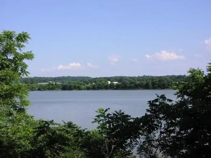 George Washington Birthplace National Monument Picnic PavilionCampingPhoto: Recreation.gov (RIDB) / public domain3.5 mi
- Cat Point CreekCanoeing6.8 mi
Source: Roamze catalog (indexable pages within 10 miles, PostGIS distance)
Best time to visit Westmoreland State Park
Best months: March–June and September–November. Best months have typical highs of 55–85 °F, lows of 30 °F or warmer (32 °F where the station doesn't record snow), at most one snowy day and no more than 12 wet days.
Jan
47° / 29°
9 wet · 2 snow
Feb
50° / 30°
8 wet · 1 snow
Mar
58° / 37°
9 wet · 1 snow
Apr
70° / 46°
10 wet
May
77° / 55°
11 wet
Jun
84° / 64°
11 wet
Jul
88° / 68°
10 wet
Aug
86° / 66°
10 wet
Sep
80° / 60°
9 wet
Oct
70° / 49°
9 wet
Nov
60° / 39°
9 wet
Dec
50° / 32°
9 wet · 1 snow
Typical high / low (°F) and days with rain or snow, 1991–2020. Measured at Warsaw 2 Nw, VA, 12.7 mi away at 140 ft. We don't have this place's elevation, so higher spots nearby can run cooler. Source: NOAA NCEI U.S. Climate Normals 1991–2020.
