Flatwoods Group Picnic Area
Campground
Campground · 2.6 mi from the trail
Caution at last check
Agency alerts are in effect for this area; weather is good · USFS, OpenWeather · checked 22 h ago
Closure in the area
There's a closure order in George Washington and Jefferson National Forest. It doesn't name (7) Jaybird Mountain, so check the source for the area it covers (2 listed).
Enchanted Creek Road (National Forest System Road 1881) will be closed for repairs until 12/31/27
Agency closure covering George Washington and Jefferson National Forest · USFS · George Washington and Jefferson National Forest
Bolar Mountain Recreation Area - Twin Ridge Road Closure
Agency closure covering George Washington and Jefferson National Forest · USFS · George Washington and Jefferson National Forest
Prescribed Fire Operations Mount Rogers National Recreation Area- Porter and Little Mountain
Agency alert covering George Washington and Jefferson National Forest · USFS · George Washington and Jefferson National Forest
Road Closures James River and Warm Springs Ranger District
Agency alert covering George Washington and Jefferson National Forest · USFS · George Washington and Jefferson National Forest
Virginia Creeper National Recreation Trail Closure Update
Agency alert covering George Washington and Jefferson National Forest · USFS · George Washington and Jefferson National Forest
As of · Source: USFS · George Washington and Jefferson National Forest. Agencies don't list every closure — check before you go.
Jaybird Mountain is a bouldering area in the Clinch Ranger District of the George Washington and Jefferson National Forest in Virginia, managed by the Forest Service. It sits among a cluster of other climbing spots, with Bad Boulders, Bad Boulder and Gasland all about 0.1 mile away. The climbing here is all bouldering, with three routes listed. Preface is a V2, Skip Jack is V3-4 and Trigonometry is V5. All are boulders, and the grades run from easy to challenging. For timing, late spring and early fall are the most comfortable. Typical averages from a nearby weather station in Wise put May highs around 72°F and September highs around 76°F, with September seeing the fewest wet days of the year. That station sits about 900 feet lower than the boulders, so temperatures on the rock run cooler. The Guest River Gorge Trail is about 2 miles away, and Flatwoods Group Picnic Area offers camping about 2.6 miles off.
Flatwoods Group Picnic Area
Campground
 If it rainsBrian Stansberry (photographer), CC BY 4.0 · Wikimedia Commons
Ralph Stanley Museum
Museum
Places © OpenStreetMap contributors, Places © Overture Maps Foundation · Photos: Brian Stansberry (photographer), CC BY 4.0 (commons)
More in Wise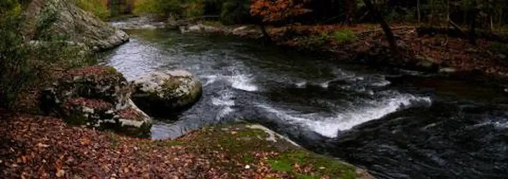 Flatwoods Group Picnic AreaCampingPhoto: Recreation.gov (RIDB) / public domain2.6 mi
Source: Roamze catalog (indexable pages within 10 miles, PostGIS distance)
Best months: September–November. Best months have typical highs of 55–85 °F, lows of 30 °F or warmer (32 °F where the station doesn't record snow), at most one snowy day and no more than 12 wet days.
Jan
43° / 25°
15 wet
Feb
47° / 27°
14 wet
Mar
55° / 34°
15 wet
Apr
65° / 43°
13 wet
May
72° / 51°
14 wet
Jun
78° / 58°
14 wet
Jul
81° / 61°
15 wet
Aug
80° / 60°
13 wet
Sep
76° / 54°
11 wet
Oct
66° / 44°
11 wet
Nov
55° / 34°
12 wet
Dec
46° / 29°
14 wet
Typical high / low (°F) and days with rain or snow, 1991–2020. Measured at Wise 1se, VA, 9.2 mi away at 2,564 ft. The station sits about 900 ft higher than this place, so expect it a little warmer here. This station doesn't record snowfall. Source: NOAA NCEI U.S. Climate Normals 1991–2020.
