Wildlife Drive/Railroad Ditch Trail System
- 9.2 mi
- round trip
- 22 ft
- high point
- Out and back
- route
- Moderate
- difficulty
- Apr–May, Sep–Nov
- best months
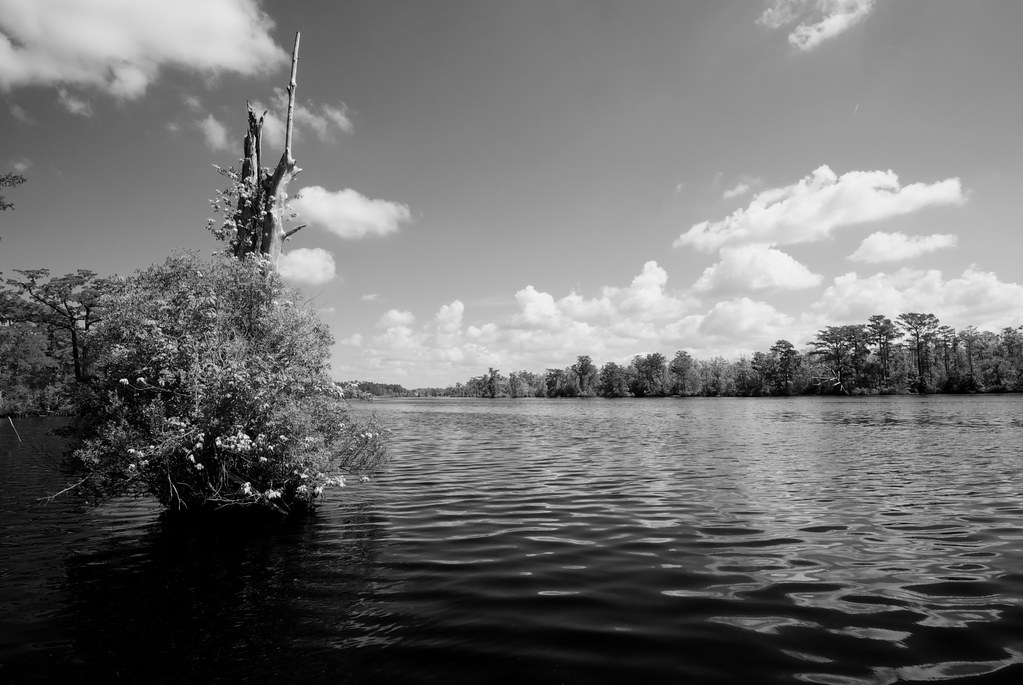
Wildlife Drive/Railroad Ditch Trail System is a 9.23-mile out-and-back trail in Virginia managed by the U.S. Fish and Wildlife Service. The trail reaches a maximum elevation of 22 feet.
 Pines TrailHiking · ~5 min drivePhoto: U.S. Fish and Wildlife Service Northeast Region, CC BY 2.0 (via Wikimedia Commons)
- East Ditch TrailHiking · ~8 min drive
 Supple Jack TrailHiking · ~18 min drivePhoto: beth910, CC BY-SA 2.0 (via Flickr)
- Western Branch TrailHiking · ~31 min drive
 Fenwick-Hollowell Wetlands TrailHiking · ~43 min drivePhoto: naql, CC BY 2.0 (via Flickr)
- Jericho Ditch TrailHiking · ~9 min drive
- West Boundary TrailHiking · ~9 min drive
- Camp Ditch TrailHiking · ~10 min drive
- Cross Canal TrailHiking · ~11 min drive
- Laurel TrailHiking · ~12 min drive
Best time to visit Wildlife Drive/Railroad Ditch Trail System
Best months: April–May and September–November. Best months have typical highs of 55–85 °F, lows of 30 °F or warmer (32 °F where the station doesn't record snow), at most one snowy day and no more than 12 wet days.
Jan
53° / 24°
10 wet
Feb
56° / 25°
9 wet
Mar
62° / 31°
10 wet
Apr
72° / 41°
9 wet
May
81° / 50°
10 wet
Jun
88° / 58°
9 wet
Jul
91° / 63°
10 wet
Aug
90° / 60°
10 wet
Sep
84° / 55°
8 wet
Oct
75° / 44°
8 wet
Nov
65° / 33°
8 wet
Dec
57° / 27°
10 wet
Typical high / low (°F) and days with rain or snow, 1991–2020. Measured at Wallaceton-Lake Drummond, VA, 4.7 mi away at 20 ft. This station doesn't record snowfall. Source: NOAA NCEI U.S. Climate Normals 1991–2020.
