Wellford Trail
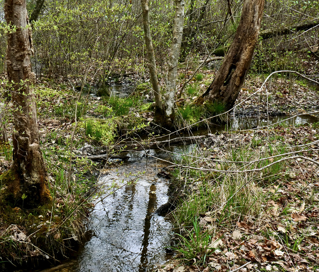
 Photo: David Broad, CC BY 3.0 (via Wikimedia Commons)
- 0.9 mi
- loop
- 14 ft
- high point
- Loop
- route
- Easy
- difficulty
- Mar–Jun, Sep–Nov
- best months
Wellford Trail is a short, easy loop in the Rappahannock River Valley National Wildlife Refuge in Virginia, managed by the U.S. Fish and Wildlife Service. The trail is 0.85 miles long and has no elevation gain, so it is a flat, low-impact walk that can be done in about half an hour. Spring and fall are the most comfortable times to go. Typical averages from a nearby weather station show October highs around 70°F with lows near 49°F, and April is similar at about 70°F by day and 46°F at night. Midsummer runs hotter, with July highs near 88°F. Cat Point Creek, a canoeing spot, is about 7.5 miles away, and Fones Cliff Trail is about 9.4 miles away for another hike.
Source: Roamze catalog (indexable pages within 10 miles, PostGIS distance)
 Beaver Dam TrailHiking · ~25 min drivePhoto: Virginia State Parks, CC BY 2.0 (via Wikimedia Commons)
- Turkey Neck TrailHiking · ~25 min drive
- White TrailHiking · ~43 min drive
 Nature TrailHiking · ~29 min drivePhoto: Ken Lund from Reno, Nevada, USA, CC BY-SA 2.0 (via Wikimedia Commons)
- Taliaferro TrailHiking · ~38 min drive
 Green TrailHiking · ~44 min drivePhoto: krossbow, CC BY 2.0 (via Flickr)
 Eagle Way PathHiking · ~44 min drivePhoto: SridharSaraf, CC BY-SA 2.0 (via Flickr)
 White TrailHiking · ~44 min drivePhoto: krossbow, CC BY 2.0 (via Flickr)
- Fones Cliff TrailHiking · ~16 min drive
- Laurel Point TrailHiking · ~25 min drive
Best time to visit Wellford Trail
Best months: March–June and September–November. Best months have typical highs of 55–85 °F, lows of 30 °F or warmer (32 °F where the station doesn't record snow), at most one snowy day and no more than 12 wet days.
Jan
47° / 29°
9 wet · 2 snow
Feb
50° / 30°
8 wet · 1 snow
Mar
58° / 37°
9 wet · 1 snow
Apr
70° / 46°
10 wet
May
77° / 55°
11 wet
Jun
84° / 64°
11 wet
Jul
88° / 68°
10 wet
Aug
86° / 66°
10 wet
Sep
80° / 60°
9 wet
Oct
70° / 49°
9 wet
Nov
60° / 39°
9 wet
Dec
50° / 32°
9 wet · 1 snow
Typical high / low (°F) and days with rain or snow, 1991–2020. Measured at Warsaw 2 Nw, VA, 3.4 mi away at 140 ft. Source: NOAA NCEI U.S. Climate Normals 1991–2020.
