Group camping area G-1
Campground
Campground · 4.0 mi from the trail
Sugarland Run Stream Valley Trail is a short, easy hike in Virginia, about 0.6 miles from the community of Herndon Junction. The trail is an out-and-back route of about 1.2 miles, with a total climb of about 100 feet and a steepest stretch of about 4% at roughly 0.15 miles from the start. Spring and fall are the most comfortable times to go. Typical averages from a nearby weather station show October highs around 68°F with lows near 45°F, and May highs around 74°F. July is the warmest month, with highs near 87°F. Several other trails lie within a couple of miles, including the Seneca Ridge MS / Sugarland Run Connector Trail and the Southern Woods Trail (Black). Climbers can head to River Bend Wall, about 6.4 miles away, and paddlers can reach Broad Run, about 8 miles off.
Group camping area G-1
Campground
Golden King
Restaurant
 If it rainsCecouchman, CC BY-SA 3.0 · Wikimedia Commons
Railway station in Herndon, the United States of America
Places © OpenStreetMap contributors · Photos: Cecouchman, CC BY-SA 3.0 (commons)
More in Linton Hall MicrodomeRock climbingPhoto: Famartin, CC BY-SA 4.0 (via Wikimedia Commons)6.6 mi
 Seneca CreekCanoeingPhoto: Itoula, CC BY-SA 3.0 (via Wikimedia Commons)9.1 mi
Source: Roamze catalog (indexable pages within 10 miles, PostGIS distance)
 White TrailHiking · ~6 min drivePhoto: Russ Davis, CC BY-SA 4.0 (via Wikimedia Commons)
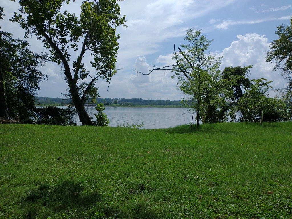 Chesapeake and Ohio Canal TrailHiking · ~8 min drivePhoto: Ken_Mayer, CC BY 2.0 (via Flickr)
 Potomac Heritage TrailHiking · ~6 min drivePhoto: Ken_Mayer, CC BY 2.0 (via Flickr)
 Seneca Creek GreenwayHiking · ~8 min drivePhoto: Ken_Mayer, CC BY 2.0 (via Flickr)
 Green Trail, SouthHiking · ~6 min drivePhoto: derobert, CC BY-SA 2.0 (via Flickr)
 Blue TrailHiking · ~7 min drivePhoto: derobert, CC BY-SA 2.0 (via Flickr)
 White Trail to YellowHiking · ~7 min drivePhoto: John Brighenti, CC BY 2.0 (via Flickr)
 Barred Owl TrailHiking · ~7 min drivePhoto: Russ Davis, CC BY-SA 4.0 (via Wikimedia Commons)Box Turtle TrailHiking · ~7 min drivePhoto: Russ Davis, CC BY-SA 4.0 (via Wikimedia Commons)East River TrailHiking · ~7 min drivePhoto: Russ Davis, CC BY-SA 4.0 (via Wikimedia Commons)
Best months: April–June and September–November. Best months have typical highs of 55–85 °F, lows of 30 °F or warmer (32 °F where the station doesn't record snow), at most one snowy day and no more than 12 wet days.
Jan
42° / 25°
11 wet
Feb
45° / 26°
9 wet
Mar
54° / 33°
11 wet
Apr
66° / 43°
12 wet
May
74° / 53°
12 wet
Jun
83° / 62°
11 wet
Jul
87° / 67°
11 wet
Aug
86° / 65°
10 wet
Sep
79° / 58°
9 wet
Oct
68° / 45°
9 wet
Nov
56° / 35°
9 wet
Dec
46° / 29°
10 wet
Typical high / low (°F) and days with rain or snow, 1991–2020. Measured at Wfo Sterling, VA, 6.5 mi away at 288 ft. This station doesn't record snowfall. Source: NOAA NCEI U.S. Climate Normals 1991–2020.
Map and trail data © OpenStreetMap contributors
