Strasburg Riverlot
Campground
Campground · 1.6 mi from the trail
Strasburg Trail is a short, easy out-and-back hike on city land in Virginia, about a third of a mile from the town of Strasburg. The route is only about 0.66 miles long, with a total elevation gain of 66 feet, so it works well as a quick stop before or after exploring the surrounding area. The trail is nearly flat, with the steepest stretch coming at about 0.28 miles in, where the grade reaches about 4 percent. The high point is 535 feet, and the low point is 510 feet, so the climb is gentle and the return is just as easy. For comfortable weather, aim for late spring or early fall. Typical averages from a nearby weather station in Woodstock show May highs around 73°F and September highs around 79°F, with July the warmest month at about 86°F. Several other outings sit within a few miles. The Massanutten Trail is about 1.6 miles away, and the Tuscarora - Doll Ridge hike is about 1.8 miles off. Climbers can head to Talking Headwall, about 3.5 miles away, and Passage Creek offers river fishing about 4 miles from the trail.
Strasburg Riverlot
Campground
Queen Street Diner
Restaurant
 If it rainsNyttend, Public domain · Wikimedia Commons
Places © OpenStreetMap contributors · Photos: Nyttend, Public domain (commons)
More in Front Royal Massanutten TrailHikingPhoto: jimmytoering from Maryland, United States, CC BY 2.0 (via Wikimedia Commons)1.6 mi
 Talking HeadwallRock climbingPhoto: Jarek Tuszyński, CC BY 3.0 (via Wikimedia Commons)3.5 mi
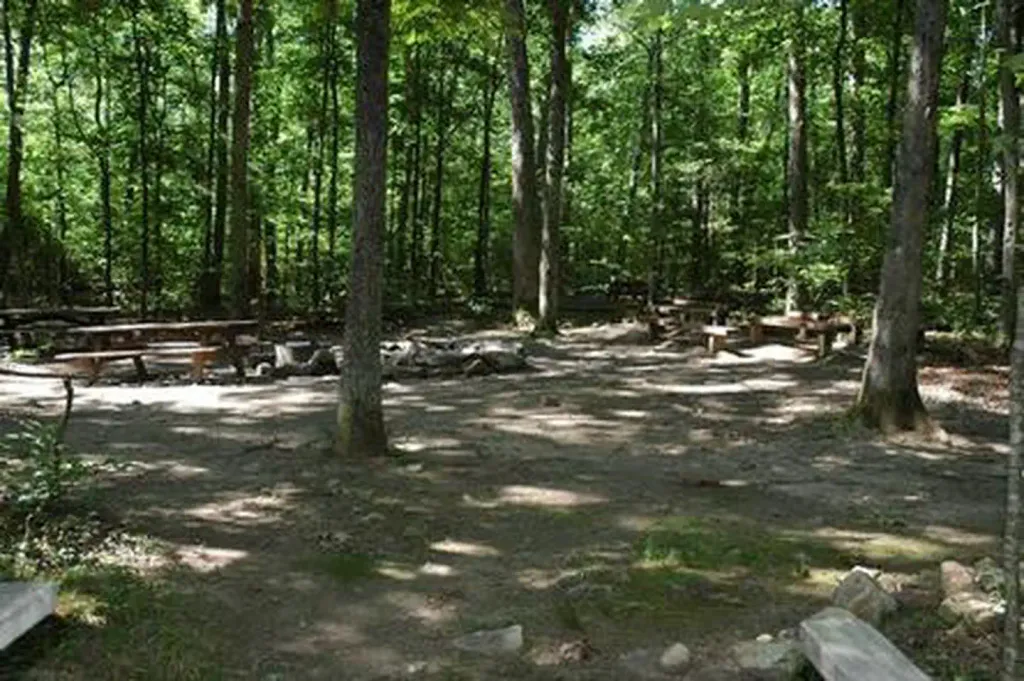 Elizabeth Furnace Group CampCampingPhoto: Recreation.gov (RIDB) / public domain3.6 mi
 Elizabeth Furnace Group Campground ACampingPhoto: scooterhigher, CC BY-SA 3.0 (via Wikimedia Commons)3.6 miBuzzard RocksRock climbingPhoto: Jarek Tuszyński, CC BY 3.0 (via Wikimedia Commons)3.7 mi
Source: Roamze catalog (indexable pages within 10 miles, PostGIS distance)
Massanutten TrailHiking · ~3 min drivePhoto: jimmytoering from Maryland, United States, CC BY 2.0 (via Wikimedia Commons)Massanutten TrailHiking · ~6 min drivePhoto: jimmytoering from Maryland, United States, CC BY 2.0 (via Wikimedia Commons) Tuscarora - Veach GapHiking · ~8 min drivePhoto: v343790, CC BY 3.0 (via Wikimedia Commons)Massanutten TrailHiking · ~13 min drivePhoto: jimmytoering from Maryland, United States, CC BY 2.0 (via Wikimedia Commons)
 Hayes-Ramseur Loop TrailHiking · ~6 min drivePhoto: Doug Kerr from Albany, NY, United States, CC BY-SA 2.0 (via Wikimedia Commons)Massanutten TrailHiking · ~8 min drivePhoto: jimmytoering from Maryland, United States, CC BY 2.0 (via Wikimedia Commons)
Best months: April–June and August–October. Best months have typical highs of 55–85 °F, lows of 30 °F or warmer (32 °F where the station doesn't record snow), at most one snowy day and no more than 12 wet days.
Jan
42° / 21°
8 wet
Feb
46° / 23°
7 wet
Mar
54° / 30°
8 wet
Apr
65° / 39°
10 wet
May
73° / 49°
12 wet
Jun
82° / 58°
11 wet
Jul
86° / 63°
10 wet
Aug
85° / 61°
10 wet
Sep
79° / 54°
9 wet
Oct
68° / 42°
8 wet
Nov
56° / 31°
7 wet
Dec
46° / 25°
8 wet
Typical high / low (°F) and days with rain or snow, 1991–2020. Measured at Woodstock 2 Ne, VA, 8.2 mi away at 675 ft. This station doesn't record snowfall. Source: NOAA NCEI U.S. Climate Normals 1991–2020.
Map and trail data © OpenStreetMap contributors
