Marble Quarry Hiker-Biker Campsite
Campground
Campground · 0.8 mi from the trail
The Riverfront Trail Loop is a 1.2-mile loop in White's Ford Regional Park in Virginia, on county land about 12 miles from Purcellville. It's a short, easy walk with a total climb of 71 feet, making it a low-commitment outing for a quick stop in the park. The route is nearly flat, with the steepest stretch at about 2% grade near the 0.59-mile mark. The loop starts and ends close to the same elevation, around 208 feet, with a high point of 224 feet and a low of 194 feet. Spring and fall are the most comfortable times to go. Typical averages from a nearby weather station in Purcellville show May highs around 73°F and October highs around 66°F, with July peaking near 86°F and January highs around 41°F. The trip takes about half an hour, so it pairs well with other outings close by. Old Orchard Trail in Maryland is about 2.4 miles away, and the Greenburg Challenge Loop and Stone Barn Loop are each about 2.9 miles off. Climbers can find the Devil's Kitchen area roughly 7 miles away.
Marble Quarry Hiker-Biker Campsite
Campground
 If it rainsAcroterion, CC BY-SA 4.0 · Wikimedia Commons
Gambrill House
Attraction
Historic mansion at Monocacy National Battlefield, Maryland, United States
Places © OpenStreetMap contributors, Places © Overture Maps Foundation · Photos: Acroterion, CC BY-SA 4.0 (commons)
More in Ballenger CreekNot on Roamze yet. Their page has how to reach them.
 Middle EarthRock climbingPhoto: Idawriter, CC BY-SA 3.0 (via Wikimedia Commons)7 mi
 Seneca CreekCanoeingPhoto: Itoula, CC BY-SA 3.0 (via Wikimedia Commons)8.8 mi
Source: Roamze catalog (indexable pages within 10 miles, PostGIS distance)
 Chesapeake and Ohio Canal TrailHiking · ~5 min drivePhoto: C&O Canal NHP, CC BY-SA 2.0 (via Wikimedia Commons)
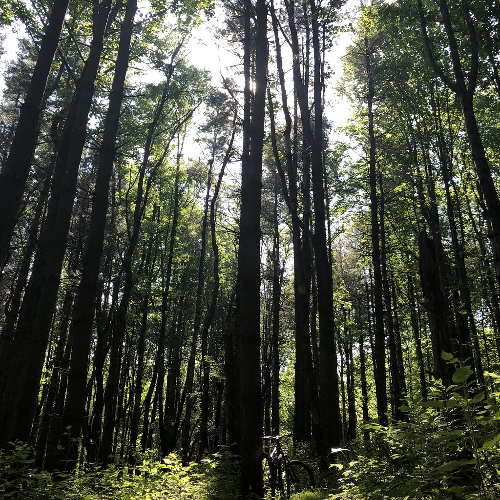 Blue TrailHiking · ~16 min drivePhoto: schvin, CC BY 2.0 (via Flickr)
Best months: April–June and August–November. Best months have typical highs of 55–85 °F, lows of 30 °F or warmer (32 °F where the station doesn't record snow), at most one snowy day and no more than 12 wet days.
Jan
41° / 24°
Feb
44° / 26°
Mar
53° / 32°
Apr
64° / 42°
May
73° / 52°
Jun
81° / 61°
Jul
86° / 65°
Aug
85° / 64°
Sep
78° / 56°
Oct
66° / 44°
Nov
55° / 35°
Dec
45° / 28°
Typical high / low (°F) and days with rain or snow, 1991–2020. Measured at Purcellville, VA, 12.4 mi away at 510 ft. This station doesn't record snowfall. Source: NOAA NCEI U.S. Climate Normals 1991–2020.
Map and trail data © OpenStreetMap contributors

