Rainy Gap Trail
- 3.7 mi
- round trip
- 2,165 ft
- climb
- 2,852 ft
- high point
- Out and back
- route
- Mar–Apr, Sep–Nov
- best months
Rainy Gap Trail is a moderate hike in Virginia, about 2 miles from the small community of Kibler Valley. The route is an out-and-back that climbs to about 2,850 feet and drops back down the same way, with a total gain and loss of roughly 2,165 feet over a round trip of about 7.4 miles. The steepest stretch comes at about 2.7 miles into the hike, where the grade reaches about 23%. For comfortable weather, aim for late spring or early fall. Typical averages from a nearby weather station run from highs around 73°F in May to 76°F in September, with October highs near 68°F. That station sits a few hundred feet lower than the trail's high point, so expect temperatures on the summit to run somewhat cooler. The White Horse Harry Lee Trail starts less than a mile away, and the Dan River is about 5 miles off for canoeing. Willville Motorcycle Campground, roughly 8 miles away, and the Mayo River Rail Trail offer more options for a longer outing.
- White Horse Harry Lee TrailHiking0.8 mi
 Dan RiverCanoeingPhoto: MarmadukePercy, CC BY-SA 3.0 (via Wikimedia Commons)5.2 mi
- Willville Motorcycle CampgroundCamping7.6 mi
- Big Reed Island CreekCanoeing8.3 mi
- Mayo River Rail TrailHiking8.5 mi
Source: Roamze catalog (indexable pages within 10 miles, PostGIS distance)
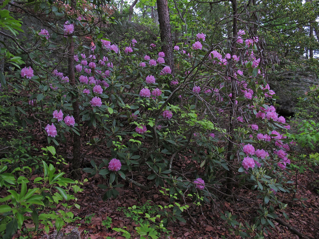 Pelican Pool TrailHiking · ~27 min drivePhoto: pmuellr, CC BY 2.0 (via Flickr)
- Diamond Lake Bottoms TrailHiking · ~27 min drivePhoto: pmuellr, CC BY 2.0 (via Flickr)
 Mountain TrailHiking · ~35 min drivePhoto: bobistraveling, CC BY 2.0 (via Flickr)
- Rock Castle Gorge Loop TrailHiking · ~20 min drive
- Rocky Knob Connector TrailHiking · ~26 min drive
 North Side TrailHiking · ~27 min drivePhoto: pmuellr, CC BY 2.0 (via Flickr)
 Indian Creek TrailHiking · ~28 min drivePhoto: npdoty, CC BY 2.0 (via Flickr)
- Rock Castle Gorge Loop TrailHiking · ~25 min drive
 Ring Neck TrailHiking · ~27 min drivePhoto: pmuellr, CC BY 2.0 (via Flickr)
- Riverbluffs TrailHiking · ~28 min drivePhoto: npdoty, CC BY 2.0 (via Flickr)
Also worth it near here
Best time to visit Rainy Gap Trail
Best months: March–April and September–November. Best months have typical highs of 55–85 °F, lows of 30 °F or warmer (32 °F where the station doesn't record snow), at most one snowy day and no more than 12 wet days.
Jan
46° / 25°
10 wet
Feb
49° / 26°
9 wet
Mar
57° / 32°
10 wet
Apr
67° / 40°
11 wet
May
73° / 50°
13 wet
Jun
79° / 59°
13 wet
Jul
82° / 62°
13 wet
Aug
81° / 61°
13 wet
Sep
76° / 55°
10 wet
Oct
68° / 44°
9 wet
Nov
58° / 34°
9 wet
Dec
48° / 29°
10 wet
Typical high / low (°F) and days with rain or snow, 1991–2020. Measured at Meadows Of Dan 5 Sw, VA, 3.4 mi away at 2,225 ft. The station sits about 600 ft lower than this place, so expect it a little cooler here. This station doesn't record snowfall. Source: NOAA NCEI U.S. Climate Normals 1991–2020.

Map and trail data © OpenStreetMap contributors
