Tent Camping
Campground
Campground · < 0.1 mi from the trail
Deakyne Trail is a short, easy walk of about 0.3 miles on Fort Belvoir in Virginia, just beyond the land units that make up the larger site. The route is an out-and-back with a total climb of about 15 feet, and the elevation gain is only about 6 feet one way. The whole trip takes roughly half an hour, so it fits easily into a morning or afternoon spent on the grounds. Spring and fall are the most comfortable times to visit. Typical averages from a nearby weather station show highs around 68°F in April and 69°F in October, while July highs reach about 90°F and January averages a high of 45°F with lows near 30°F. Several other trails sit close by. Cemetery Loop Trail is about 0.6 miles away and McCarthy Loop Trail about a mile. Meadowood Visitor Contact Station, a saltwater fishing spot, is about 2.4 miles off, and Patriots Path: A Revolutionary War Encampment, across the Maryland line, is about 4 miles away.
Tent Camping
Campground
 If it rainsUS Army History, CC BY 3.0 · Wikimedia Commons
Official museum for the history of the United States Army at Fort Belvoir, Virginia
Places © OpenStreetMap contributors · Photos: US Army History, CC BY 3.0 (commons)
More in Linton HallSource: Roamze catalog (indexable pages within 10 miles, PostGIS distance)
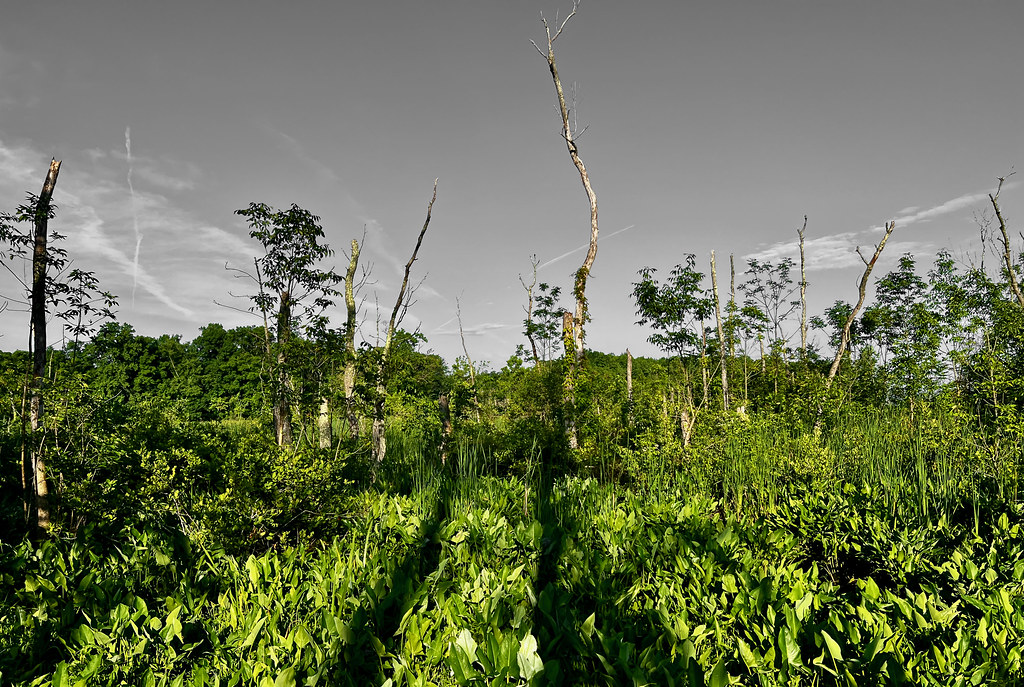 Piscataway TrailHiking · ~10 min drivePhoto: krossbow, CC BY 2.0 (via Flickr)
Best months: March–June and September–November. Best months have typical highs of 55–85 °F, lows of 30 °F or warmer (32 °F where the station doesn't record snow), at most one snowy day and no more than 12 wet days.
Jan
45° / 30°
10 wet · 3 snow
Feb
48° / 32°
9 wet · 3 snow
Mar
56° / 39°
11 wet · 1 snow
Apr
68° / 48°
11 wet
May
76° / 58°
11 wet
Jun
85° / 68°
11 wet
Jul
90° / 72°
10 wet
Aug
88° / 71°
9 wet
Sep
81° / 64°
8 wet
Oct
69° / 52°
9 wet
Nov
58° / 42°
9 wet
Dec
49° / 34°
10 wet · 1 snow
Typical high / low (°F) and days with rain or snow, 1991–2020. Measured at Washington Reagan Ap, VA, 13.1 mi away at 10 ft. Source: NOAA NCEI U.S. Climate Normals 1991–2020.
Map and trail data © OpenStreetMap contributors
