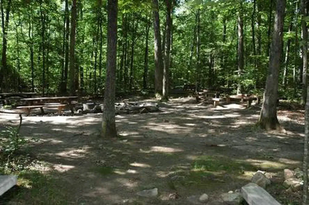
Strasburg Riverlot
Campground
Campground · 4.5 mi from the trail
No closures listed
The National Park Service lists no closures for Cedar Creek and Belle Grove National Historical Park.
As of · Source: NPS · Cedar Creek and Belle Grove National Historical Park. Agencies don't list every closure — check before you go.
The 19th Corps Trail is an easy out-and-back hike in Virginia's Cedar Creek and Belle Grove National Historical Park, a short walk of about 0.8 miles with a total climb of 82 feet. The trail starts and ends at roughly 688 feet, reaches a high point of 719 feet, and is managed by a non-governmental organization on land that also includes a holding named CCBF. The route is a steady climb, with the steepest stretch coming at about 0.46 miles in, where the grade reaches 5%. It makes a quick stop for anyone exploring the park's history on foot, and the trip takes about half an hour. Spring and fall are the most comfortable times to go. Typical averages from a nearby weather station run to highs around 65°F in April and October, while July and August average in the mid-80s. The Thomas' Brigade Loop Trail and the Hayes-Ramseur Loop Trail both lie about half a mile away. Farther out, Talking Headwall and Buzzard Rocks offer climbing within about 5 miles.
Strasburg Riverlot
Campground
 If it rainsNyttend, Public domain · Wikimedia Commons
Places © OpenStreetMap contributors, Places © Overture Maps Foundation · Photos: Nyttend, Public domain (commons)
More in Front Royal Hayes-Ramseur Loop TrailHikingPhoto: Doug Kerr from Albany, NY, United States, CC BY-SA 2.0 (via Wikimedia Commons)0.5 mi
 Talking HeadwallRock climbingPhoto: Jarek Tuszyński, CC BY 3.0 (via Wikimedia Commons)4.6 miBuzzard RocksRock climbingPhoto: Jarek Tuszyński, CC BY 3.0 (via Wikimedia Commons)4.9 mi
 Elizabeth Furnace Group CampCampingPhoto: Recreation.gov (RIDB) / public domain5.6 mi
 Elizabeth Furnace Group Campground ACampingPhoto: scooterhigher, CC BY-SA 3.0 (via Wikimedia Commons)5.7 mi
Source: Roamze catalog (indexable pages within 10 miles, PostGIS distance)
Hayes-Ramseur Loop TrailHiking · Next doorPhoto: Doug Kerr from Albany, NY, United States, CC BY-SA 2.0 (via Wikimedia Commons) Massanutten TrailHiking · ~6 min drivePhoto: jimmytoering from Maryland, United States, CC BY 2.0 (via Wikimedia Commons)
 Tuscarora - Veach GapHiking · ~12 min drivePhoto: v343790, CC BY 3.0 (via Wikimedia Commons)Massanutten TrailHiking · ~18 min drivePhoto: jimmytoering from Maryland, United States, CC BY 2.0 (via Wikimedia Commons)Massanutten TrailHiking · ~9 min drivePhoto: jimmytoering from Maryland, United States, CC BY 2.0 (via Wikimedia Commons)Massanutten TrailHiking · ~13 min drivePhoto: jimmytoering from Maryland, United States, CC BY 2.0 (via Wikimedia Commons)
Best months: April–October. Best months have typical highs of 55–85 °F, lows of 30 °F or warmer (32 °F where the station doesn't record snow), at most one snowy day and no more than 12 wet days.
Jan
41° / 21°
7 wet
Feb
44° / 23°
6 wet
Mar
52° / 29°
8 wet
Apr
65° / 39°
9 wet
May
72° / 49°
10 wet
Jun
80° / 58°
9 wet
Jul
85° / 62°
8 wet
Aug
84° / 60°
7 wet
Sep
77° / 53°
7 wet
Oct
65° / 41°
6 wet
Nov
54° / 32°
6 wet
Dec
45° / 25°
7 wet
Typical high / low (°F) and days with rain or snow, 1991–2020. Measured at Star Tannery, VA, 8.7 mi away at 950 ft. This station doesn't record snowfall. Source: NOAA NCEI U.S. Climate Normals 1991–2020.
Map and trail data © OpenStreetMap contributors
