Prospect Rock
- 1,055 ft
- summit
- May–Sep
- best months
Prospect Rock is a summit in Vermont, rising to 1,055 feet about 2.5 miles from the town of Johnson. It sits right beside a cluster of climbing areas, with Charge the Farm, No Eyed Deer Area and Middle Cliff all about 0.1 mile away. The Long Trail passes within half a mile, making it easy to fold into a longer outing. Summer is the most comfortable time to visit. Typical averages from a nearby weather station in Johnson show July highs around 76°F with lows near 56°F, while winter highs stay in the 20s. The surrounding area offers plenty to pair with a visit. The Long Trail is the closest neighbor, and Old Mill Park Walking Path is about 2.3 miles away. Paddlers can head to the Lamoille River Paddlers Trail, roughly 4.6 miles off, or Black Creek at about 7.3 miles.
Conditions and forecast
Daily highs and lows, wind and the chance of precipitation at the summit for the next 7 days, from the Open-Meteo model.
- Summit elevation
- 1,055 ft
Elevation from USGS 3D Elevation Program terrain data (about 10 m resolution).
We don't know of a mapped trail or route to the summit of Prospect Rock. Plan the approach with local maps, a guidebook or a local guide, and check conditions before you go.
Questions about Prospect Rock
How tall is Prospect Rock?
1,055 ft (322 m).
Is there a trail to the top of Prospect Rock?
We don't know of a mapped trail or route to the summit. Plan the approach with local maps, a guidebook or a local guide.
- Charge the FarmRock climbing0.1 mi
- No Eyed Deer AreaRock climbing0.1 mi
- Middle CliffRock climbing0.1 mi
- Long TrailHiking0.4 mi
- Old Mill Park Walking PathHiking2.3 mi
- Davis Neighborhood TrailHiking4 mi
- Lamoille River Paddlers TrailCanoeing4.6 mi
- Black CreekCanoeing7.3 mi
Source: Roamze catalog (indexable pages within 10 miles, PostGIS distance)
 Big JaySummit · ~34 min drivePhoto: Petersent, Public domain (via Wikimedia Commons)
 Jay PeakSummit · ~36 min drivePhoto: Hanumanix at English Wikipedia, Public domain (via Wikimedia Commons)
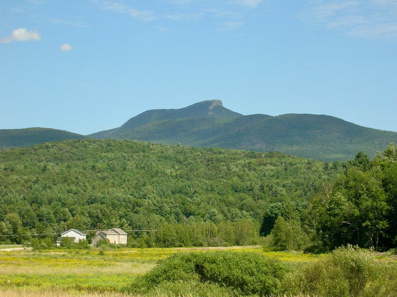 Camels HumpSummit · ~42 min drivePhoto: Niranjan Arminius, CC BY-SA 4.0 (via Wikimedia Commons)
 Mount Ethan AllenSummit · ~45 min drivePhoto: Niranjan Arminius, CC BY-SA 4.0 (via Wikimedia Commons)
 Round TopSummit · ~53 min drivePhoto: Richard Coté, CC BY-SA 4.0 (via Wikimedia Commons)
- Laraway MountainSummit · ~8 min drive
- Sterling MountainSummit · ~9 min drive
- Morse MountainSummit · ~10 min drive
- Bowen MountainSummit · ~11 min drive
- Spruce PeakSummit · ~13 min drive
Best time to visit Prospect Rock
Best months: May–September. Best months have typical highs of 55–85 °F, lows of 30 °F or warmer (32 °F where the station doesn't record snow), at most one snowy day and no more than 12 wet days.
Jan
24° / 5°
Feb
28° / 7°
Mar
36° / 16°
Apr
50° / 30°
May
63° / 42°
Jun
71° / 51°
Jul
76° / 56°
Aug
74° / 54°
Sep
68° / 46°
Oct
54° / 36°
Nov
42° / 26°
Dec
30° / 14°
Typical high / low (°F) and days with rain or snow, 1991–2020. Measured at Johnson 2 N, VT, 2.2 mi away at 980 ft. This station doesn't record snowfall. Source: NOAA NCEI U.S. Climate Normals 1991–2020.
