Red Trail
- 0.9 mi
- round trip
- 402 ft
- climb
- 1,471 ft
- high point
- Out and back
- route
- Sep
- best months
Red Trail is a short, easy out-and-back hike in northern Vermont, about 1.4 miles from the town of East Burke. The trail covers about 1.8 miles in total, and the round trip involves a climb of about 400 feet from the high point at 1,471 feet back to the low point at 1,165 feet. The steepest stretch comes near the middle of the route, at about 0.78 miles, where the grade reaches 12%. The most comfortable months for a visit are typically July and August, when typical averages from a nearby weather station in Sutton run to highs around 74 to 76°F with lows in the mid-50s. Winters there are cold, with January highs averaging about 23°F. The trail takes about an hour to complete. Several other routes sit close by. J-Bar Trail is about 0.8 miles away, and West Peak Trail and Profile Trail are both within about a mile. Paddlers can find the East Branch Passumpsic River Paddling Trail about 2.6 miles off.
- J-Bar TrailHiking0.8 mi
- West Peak TrailHiking1.1 mi
- Profile TrailHiking1.3 mi
- DH TrailHiking1.4 mi
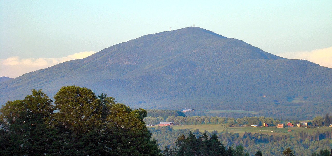
 Park LoopHikingPhoto: Magicpiano, CC BY-SA 4.0 (via Wikimedia Commons)1.5 mi
- East Branch Passumpsic River Paddling TrailCanoeing2.6 mi
- West Branch Passumpsic RiverCanoeing5.4 mi
- East Branch Passumpsic RiverCanoeing9.9 mi
Source: Roamze catalog (indexable pages within 10 miles, PostGIS distance)
- Park LoopHiking · ~3 min drivePhoto: Magicpiano, CC BY-SA 4.0 (via Wikimedia Commons)
- J-Bar TrailHiking · ~1 min drive
- DH TrailHiking · ~2 min drive
- Church PathHiking · ~3 min drivePhoto: Magicpiano, CC BY-SA 4.0 (via Wikimedia Commons)
- Red TrailHiking · ~2 min drive
- Herbert Hawkes TrailHiking · ~19 min drive
 RidgeHiking · ~4 min drivePhoto: Magicpiano, CC BY-SA 4.0 (via Wikimedia Commons)
- South TrailHiking · ~18 min drive
- South Beach TrailHiking · ~19 min drive
- Pastore Point LoopHiking · ~5 min drivePhoto: Magicpiano, CC BY-SA 4.0 (via Wikimedia Commons)
Also worth it near here
Best time to visit Red Trail
Best months: September. Best months have typical highs of 55–85 °F, lows of 30 °F or warmer (32 °F where the station doesn't record snow), at most one snowy day and no more than 12 wet days.
Jan
23° / 4°
21 wet
Feb
27° / 6°
18 wet
Mar
35° / 16°
17 wet
Apr
49° / 29°
16 wet
May
63° / 42°
16 wet
Jun
71° / 51°
16 wet
Jul
76° / 56°
15 wet
Aug
74° / 54°
14 wet
Sep
67° / 47°
12 wet
Oct
54° / 35°
16 wet
Nov
40° / 25°
17 wet
Dec
29° / 13°
21 wet
Typical high / low (°F) and days with rain or snow, 1991–2020. Measured at Sutton, VT, 6.8 mi away at 1,500 ft. This station doesn't record snowfall. Source: NOAA NCEI U.S. Climate Normals 1991–2020.

Map and trail data © OpenStreetMap contributors
